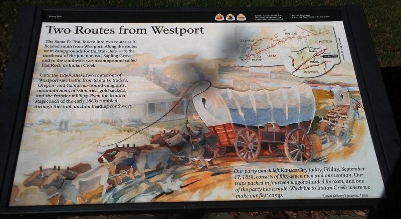
Two Routes from Westport
The Santa Fe Trail forked into two routes as it headed south from Westport. Along the routes were campgrounds for trail travelers — to the northeast of the junction was Sapling Grove and the southwest was a campground called Flat Rock or Indian Creek.
Until the 1860s, these two routes out of Westport saw traffic from Santa Fe traders, Oregon- and California-bound emigrants, mountain men, missionaries, gold seekers, and the frontier military. Even the frontier stagecoach of the early 1860s rumbled through this trail junction heading southwest.
Our party which left Kansas City today, Friday, September 17, 1848, consists of fifty-seven men and one woman. Our traps packed in fourteen wagons hauled by oxen, and one of the party has a mule. We drive to Indian Creek where we make our first camp.
David Kellogg's journal, 1858
Erected by Kansas City Area Historic Trails Association and the National Park Service.
Topics and series. This historical marker is listed in these topic lists: Industry & Commerce • Roads & Vehicles • Settlements & Settlers. In addition, it is included in the California Trail, the Oregon Trail, and the Santa Fe Trail series lists. A significant historical date for this entry is September 17, 1848.
Location. 38°
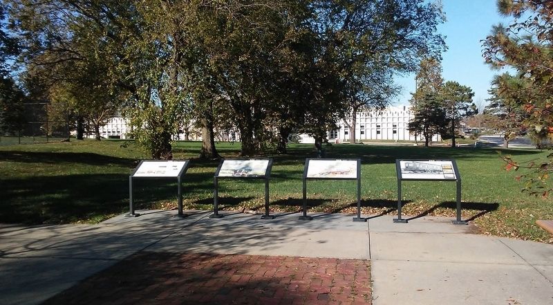
Other nearby markers. At least 8 other markers are within 2 miles of this marker, measured as the crow flies. Voices from the Trail (here, next to this marker); Wagons and Coaches... ...to Trains and Planes (here, next to this marker); Opening the Floodgates (here, next to this marker); Heritage of Johnson County, Kansas (approx. 1.7 miles away); Wilson-Weldon Buildings (approx. 1.8 miles away); A. M. Wood Buildings (approx. 1.8 miles away); Conser Store & Hall (approx. 1.8 miles away); William B. Strang, Jr. (approx. 1.8 miles away). Touch for a list and map of all markers in Overland Park.
Also see . . .
1. Santa Fe National Historic Trail. (Submitted on December 6, 2016, by William Fischer, Jr. of Scranton, Pennsylvania.)
2. Oregon National Historic Trail. (Submitted on December 6, 2016, by William Fischer, Jr. of Scranton, Pennsylvania.)
3. California National Historic Trail. (Submitted on December 6, 2016, by William Fischer, Jr. of Scranton, Pennsylvania.)
4. Kansas City Area Historic Trails Association. (Submitted on December 6, 2016, by William Fischer, Jr. of Scranton, Pennsylvania.)
Credits. This page was last revised on December 6, 2016. It was originally submitted on December 6, 2016, by William Fischer, Jr. of Scranton, Pennsylvania. This page has been viewed 396 times since then and 24 times this year. Photos: 1, 2. submitted on December 6, 2016, by William Fischer, Jr. of Scranton, Pennsylvania.

