Klamath Falls in Klamath County, Oregon — The American West (Northwest)
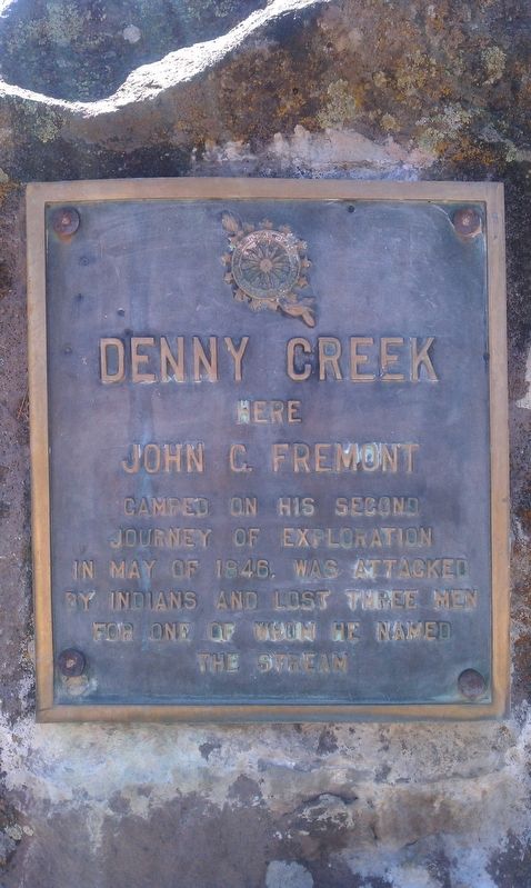
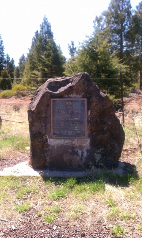
Denny Creek
Erected 1930 by Eulalona Chapter Daughters of the American Revolution.
Topics and series. This historical marker is listed in this topic list: Notable Events. In addition, it is included in the Daughters of the American Revolution series list. A significant historical year for this entry is 1846.
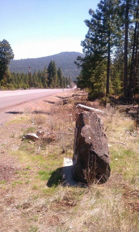
Location. 42° 23.174′ N, 122° 0.978′ W. Marker is in Klamath Falls, Oregon, in Klamath County. Marker is on Highway 140, on the left when traveling west. Touch for map. Marker is in this post office area: Klamath Falls OR 97601, United States of America. Touch for directions.
Other nearby markers. At least 7 other markers are within 15 miles of this marker, measured as the crow flies. UMC Indian Mission (approx. 10.3 miles away); Klamath County's First White Settler (approx. 12.4 miles away); Crystal Recreation Area (approx. 13.6 miles away); Walters Cabin Tree Planting (approx. 14.6 miles away); Upper Klamath Lake (approx. 14.8 miles away); Oregon History - Upper Klamath Lake (approx. 14.8 miles away); The Klamath Tribes (approx. 14.9 miles away).
More about this marker. The marker was originally dedicated in 1930 by the Eulalona Chapter of the Daughter's of the American Revolution at a different location and then replaced here and re-dedicated in 1955. Within the past few years, there's been a small plaque added next to the original marker noting the re-dedication by the DAR in 1955.
Regarding Denny Creek. Denny Creek flows from some springs about 1/2 a mile south from the marker, on private property and is only accessible via a gated private ranch road. This road was once the original 'Old Hwy 140' until it was re-routed the same year the plaque was moved and re-dedicated in 1955.
Credits. This page was last revised on October 19, 2020. It was originally submitted on December 6, 2016, by Douglass Halvorsen of Klamath Falls, Oregon. This page has been viewed 668 times since then and 57 times this year. Photos: 1, 2, 3. submitted on December 6, 2016, by Douglass Halvorsen of Klamath Falls, Oregon. • Bill Pfingsten was the editor who published this page.


