Utrecht, Netherlands — Northwestern Europe
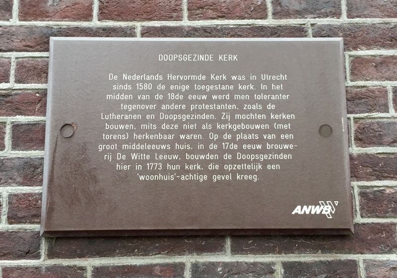
Doopsgezinde Kerk / Mennonite Church
[English translation:]
Erected by The ANWB.
Topics. This historical marker is listed in this topic list: Churches & Religion.
Location. 52° 5.228′ N, 5° 7.327′ E. Marker is in Utrecht. Marker is on Oudegracht just north of Korte Smeestraat, on the right when traveling north. Touch for map. Marker is at or near this postal address: Oudegracht 270, Utrecht 3511 NL, Netherlands. Touch for directions.
Other nearby markers. At least 8 other markers are within walking distance of this marker. Voormalig Klooster en Later Weeshuis / Former Monastery and Later Orphanage (within shouting distance of this marker); Geboortehuis van Paus Adriaan / Birthplace of Pope Adrian (within shouting distance of this marker); De Zakkendrager / The Porters (within shouting distance of this marker); St. Jacobsgasthuis / St. James' Guest House (about 120 meters away, measured in a direct line); Mieropskameren / Mierop's Homes (about 150 meters away); Het Duitse Huis / The German House (approx. 0.3 kilometers away); Claustraal Huis van Oudemunster / Canon House of the Former Oudmunster Church (approx. 0.3 kilometers away); Sic Semper (approx. 0.3 kilometers away). Touch for a list and map of all markers in Utrecht.
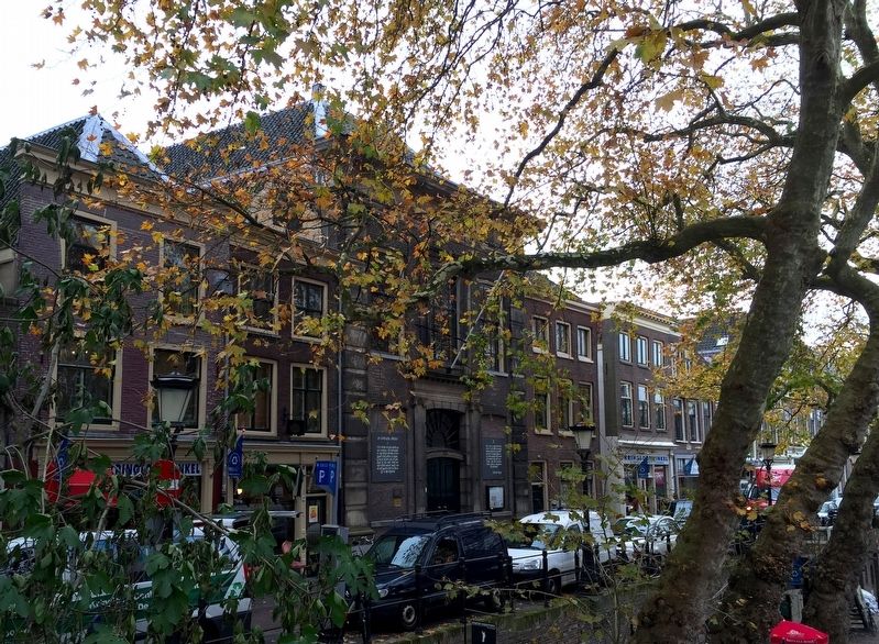
Also see . . . Looking at Churches in Utrecht: Mennonite Church (Kerken Kijken Utrecht). This church building from 1773 looks like the front of a stately
townhouse. Before being used as a church, it was home to a brewery. Over the course of the 18th century there was less resistance to non-reformed religious communities, yet the Mennonites built a facade to the building that was not typical of a church and in line with the religious principle of the Mennonites. The sober interior contains a mahogany pulpit by carpenter Wajon from 1773. The church council seats on both side of the pulpit are also original. The neo-rococo organ, built by Bätz and Witte, was granted in 1870. The church's design includes a ‘women’s section’. Until the dissolution of segregated seating in 1926, the women sat in the centre, surrounded by the men. This division of men and women is a moving reminiscence of the difficult times of the days of persecution. (Submitted on December 11, 2016.)
Credits. This page was last revised on January 1, 2024. It was originally submitted on December 11, 2016, by Andrew Ruppenstein of Lamorinda, California. This page has been viewed 286 times since then and 25 times this year. Photos: 1, 2. submitted on December 11, 2016, by Andrew Ruppenstein of Lamorinda, California.

