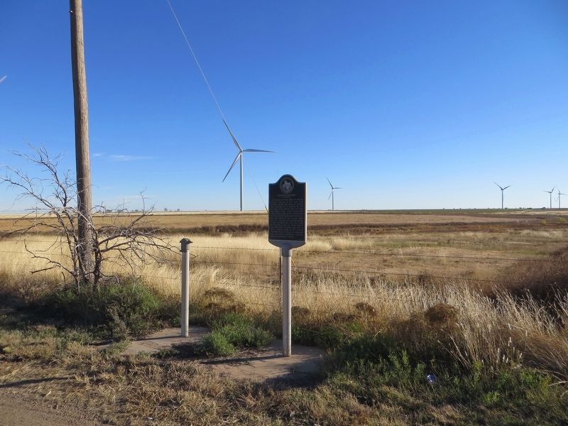
Near Clarendon in Donley County, Texas — The American South (West South Central)
Boydstun Cemetery
Text from Texas Historic Sites Atlas
Erected 1988. (Marker Number 480.)
Topics. This historical marker is listed in these topic lists: Cemeteries & Burial Sites • Settlements & Settlers. A significant historical year for this entry is 1890.
Location. Marker is missing. It was located near 35° 10.135′ N, 100° 54.194′ W. Marker was near Clarendon, Texas, in Donley County. Marker was on State Highway 70, one mile south of Interstate 40, on the left when traveling south. Touch for map. Marker was in this post office area: Clarendon TX 79226, United States of America. Touch for directions.
Other nearby markers. At least 8 other markers are within 5 miles of this location, measured as the crow flies. Jericho Cemetery (here, next to this marker); Indian Battlefield (approx. 3˝ miles away); "Gateway To The Southwest" (approx. 4.1 miles away); "The Naming Of Route 66" (approx. 4.2 miles away); "The Convertible And The Open Road" (approx. 4.2 miles away); "The Dust Bowl Days" (approx. 4.2 miles away); "Crossing The Native American Nations" (approx. 4.2 miles away); "A Cultural Calamity" (approx. 4.2 miles away).
Regarding Boydstun Cemetery. Boydstun Cemetery is 6 miles west of marker at the intersection of County Road 6 and County Road C (N35°09.0926' W100°59.5001').
Credits. This page was last revised on January 9, 2020. It was originally submitted on December 12, 2016, by Bill Kirchner of Tucson, Arizona. This page has been viewed 495 times since then and 18 times this year. Photos: 1, 2. submitted on December 12, 2016, by Bill Kirchner of Tucson, Arizona.

