Stillwater in Saratoga County, New York — The American Northeast (Mid-Atlantic)
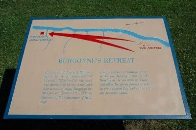
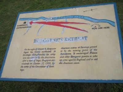
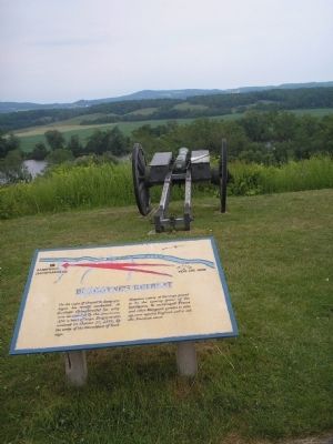
Burgoyne’s Retreat
American victory at Saratoga proved to be the turning point of the Revolution. It encouraged France and other European powers to take up arms against England and to aid the American cause.
Erected by Saratoga National Historical Park, National Park Service.
Topics. This historical marker is listed in these topic lists: Military • Notable Events • Notable Places • War, US Revolutionary. A significant historical date for this entry is October 8, 1825.
Location. 43° 0.109′ N, 73° 36.6′ W. Marker is in Stillwater, New York, in Saratoga County. Marker is on Park Tour Road, on the right when traveling east. Marker is in Saratoga National Historical Park at the Great Redoubt stop on the auto tour road. Touch for map. Marker is in this post office area: Stillwater NY 12170, United States of America. Touch for directions.
Other nearby markers. At least 8 other markers are within walking distance of this marker. Readying to Retreat (a few steps from this marker); Main Crown Forces Hospital (about 300 feet away, measured in a direct line); Crown Forces Artillery Park (about 400 feet away); Burial Site of General Fraser (approx. 0.2 miles away); The Great Redoubt (approx. 0.2 miles away); Crown Forces Baggage Park (approx. 0.2 miles away); Retreat, Pursuit, and Surrender (approx. ¼ mile away); Surviving Portion of Champlain Canal (approx. 0.3 miles away). Touch for a list and map of all markers in Stillwater.
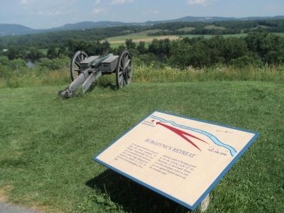
More about this marker. The top of the marker contains a map showing the route taken by Burgoyne’s army from the site of the marker to the place in Saratoga where he officially surrendered to Gen. Gates.
Also see . . .
1. The Battle of Saratoga 1777. A British perspective of the Battle of Saratoga from BritishBattles.com. (Submitted on August 7, 2008, by Bill Coughlin of Woodland Park, New Jersey.)
2. Saratoga National Historical Park. National Park Service. (Submitted on August 7, 2008, by Bill Coughlin of Woodland Park, New Jersey.)
Photographed By Bill Coughlin, July 13, 2008
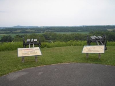
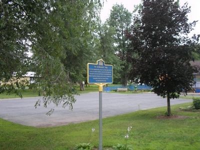
4. Marker at Saratoga National Historical Park
The day after their defeat at the Battle of Freeman Farm, Burgoyne withdrew his army north to a camp he had in Saratoga. After being surrounded by American troops, and with no hope for reinforcements, Burgoyne surrendered on October 17, 1777.
Credits. This page was last revised on July 21, 2017. It was originally submitted on August 7, 2008, by Bill Coughlin of Woodland Park, New Jersey. This page has been viewed 1,462 times since then and 37 times this year. Photos: 1. submitted on July 1, 2010, by Howard C. Ohlhous of Duanesburg, New York. 2. submitted on August 7, 2008, by Bill Coughlin of Woodland Park, New Jersey. 3. submitted on July 18, 2013, by Bill Coughlin of Woodland Park, New Jersey. 4, 5. submitted on August 7, 2008, by Bill Coughlin of Woodland Park, New Jersey. 6. submitted on July 1, 2010, by Howard C. Ohlhous of Duanesburg, New York. 7. submitted on August 7, 2008, by Bill Coughlin of Woodland Park, New Jersey. 8. submitted on July 1, 2010, by Howard C. Ohlhous of Duanesburg, New York. 9, 10. submitted on August 7, 2008, by Bill Coughlin of Woodland Park, New Jersey.
