Myrtle Beach in Horry County, South Carolina — The American South (South Atlantic)
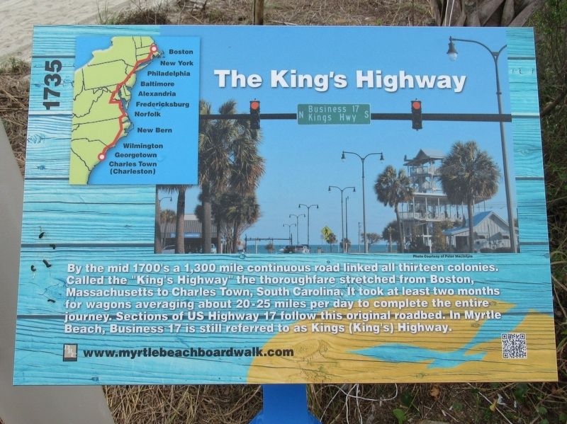
The King’s Highway
1735
Topics. This historical marker is listed in these topic lists: Colonial Era • Roads & Vehicles. A significant historical year for this entry is 1735.
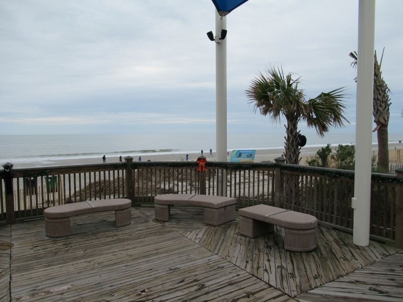
Location. 33° 41.51′ N, 78° 52.735′ W. Marker is in Myrtle Beach, South Carolina, in Horry County. Marker can be reached from the intersection of North Ocean Boulevard and 9th Ave N., on the right when traveling north. Located on the Myrtle Beach Boardwalk and Promenade. Touch for map. Marker is at or near this postal address: 100 9th Ave N, Myrtle Beach SC 29577, United States of America. Touch for directions.
Other nearby markers. At least 8 other markers are within walking distance of this marker. Hurricane Hazel (here, next to this marker); Myrtle Beach Pavilions (within shouting distance of this marker); Marine Amphibious Assault (within shouting distance of this marker); Salt Works (within shouting distance of this marker); The Bowery (within shouting distance of this marker); a different marker also named Hurricane Hazel (about 300 feet away, measured in a direct line); Hurricane Hugo (about 500 feet away); Grand Strand (about 600 feet away). Touch for a list and map of all markers in Myrtle Beach.
Also see . . . Myrtle Beach Boardwalk. (Submitted on January 2, 2017, by Michael Herrick of Southbury, Connecticut.)
Credits. This page was last revised on December 28, 2022. It was originally submitted on January 2, 2017, by Michael Herrick of Southbury, Connecticut. This page has been viewed 767 times since then and 46 times this year. Photos: 1, 2. submitted on January 2, 2017, by Michael Herrick of Southbury, Connecticut.

