Near Bowie in Cochise County, Arizona — The American Mountains (Southwest)
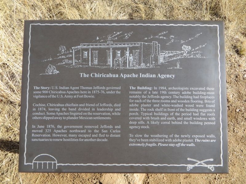
The Chiricahua Apache Indian Agency
Cochise, Chiricahua chieftain and friend of Jeffords, died in 1874, leaving the band divided in leadership and conduct. Some Apaches lingered on the reservation, while others slipped away to plunder Mexican settlements.
In June 1876, the government removed Jeffords and moved 325 Apaches northward to the San Carlos Reservation. However, many escaped and fled to distant sanctuaries to renew hostilities for another decade.
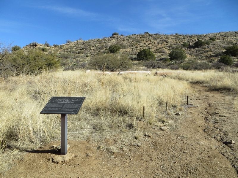
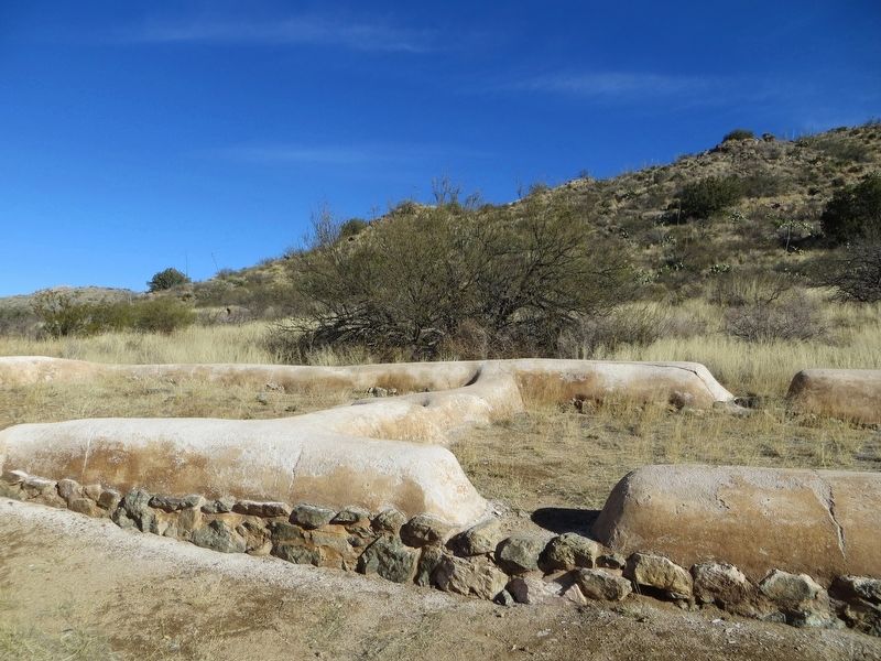
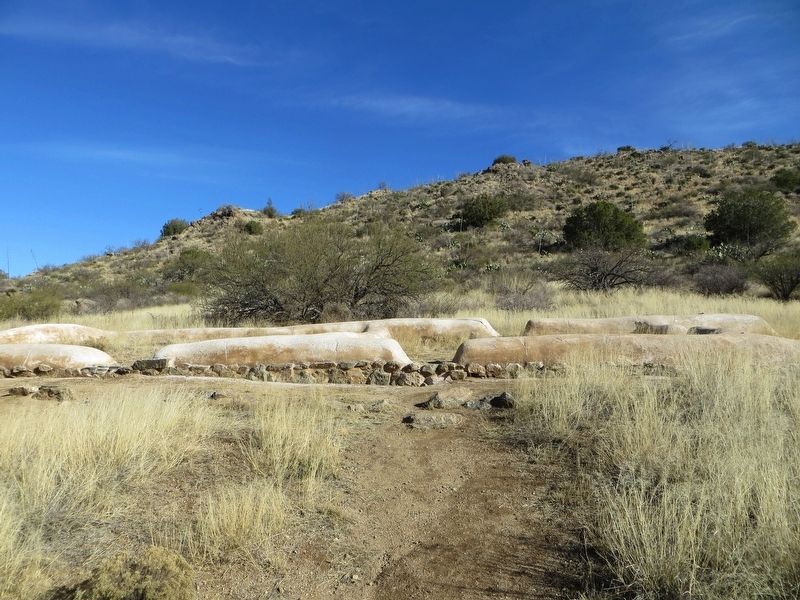
The Building; in 1984, archeologists excavated these remains of a late 19th century adobe building-most notably the Jeffords agency. The building had fireplaces for each of the three rooms and wooden flooring. Bits of adobe plaster and white-washed wood were found inside. The rock shelf in front of the building suggests a porch. Typical buildings of the period had flat roofs covered with brush and earth, and small windows with deep sills. A likely corral behind the building penned agency stock.
To slow the weathering of the newly exposed walls, they've been stabilized with adobe plaster. The ruins are extremely fragile. Please stay off the walls.
Topics. This historical marker is listed in this topic list: Native Americans. A significant historical month for this entry is June 1876.
Location. 32° 8.819′ N, 109° 26.75′ W. Marker is near Bowie, Arizona, in Cochise County. Marker can be reached from Fort Bowie Trail, one mile south of Apache Pass Road. Marker is located along the trail at the Fort Bowie National Historic Site. For most visitors access to the fort is via a 1.5 mile hiking trail of moderate difficulty. Touch for map. Marker is in this post office area: Bowie AZ 85605, United States of America. Touch for directions.
Other nearby markers. At least 8 other markers are within walking distance of this marker. The Battle of Apache Pass; July 15-16, 1862 (about 500 feet away, measured in a direct line); Post Cemetery (about 800 feet away); The Butterfield Overland Mail (approx. ¼ mile away); The Stage Station Ruin (approx. ¼ mile away); Bascom-Cochise Meeting Site (approx. ¼ mile away); The Bascom Affair (approx. 0.3 miles away); Apache Spring (approx. 0.3 miles away); Parke Camp Site (approx. 0.4 miles away). Touch for a list and map of all markers in Bowie.
Credits. This page was last revised on January 14, 2017. It was originally submitted on January 14, 2017, by Bill Kirchner of Tucson, Arizona. This page has been viewed 668 times since then and 47 times this year. Photos: 1, 2, 3, 4. submitted on January 14, 2017, by Bill Kirchner of Tucson, Arizona.


