McLean in Fairfax County, Virginia — The American South (Mid-Atlantic)
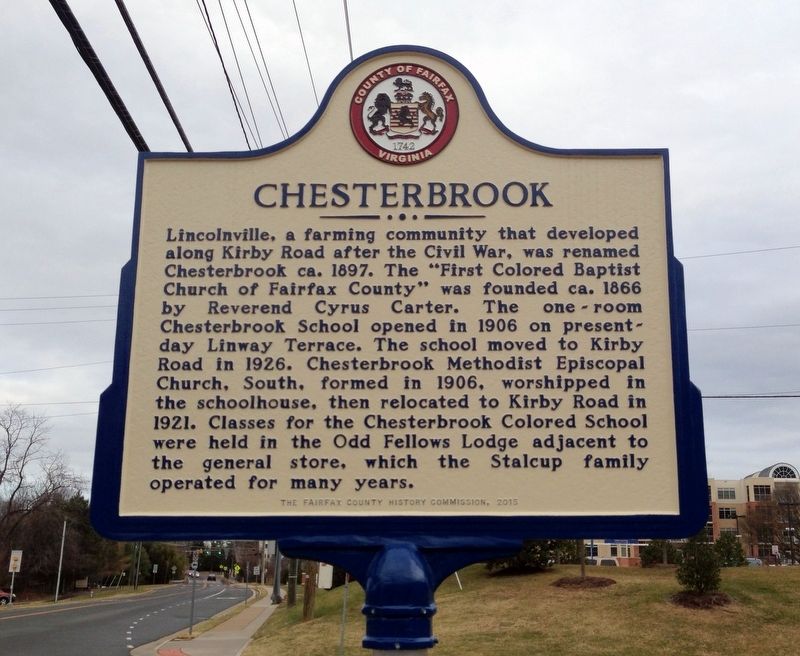
Chesterbrook
Erected 2015 by The Fairfax County History Commission.
Topics and series. This historical marker is listed in these topic lists: African Americans • Churches & Religion • Education • Settlements & Settlers. In addition, it is included in the Virginia, Fairfax County History Commission series list.
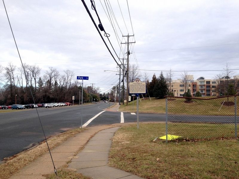
Location. 38° 55.188′ N, 77° 9.301′ W. Marker is in McLean, Virginia, in Fairfax County. Marker is at the intersection of Kirby Road (Virginia Route 695) and Park Road, on the right when traveling north on Kirby Road. Touch for map. Marker is in this post office area: Mc Lean VA 22101, United States of America. Touch for directions.
Other nearby markers. At least 8 other markers are within 2 miles of this marker, measured as the crow flies. William Watters (approx. half a mile away); Original Federal Boundary Stone, District of Columbia, Northwest 2 (approx. 0.6 miles away); Original Federal Boundary Stone, District of Columbia, Northwest 1 (approx. 1.1 miles away); John Saegmuller House (approx. 1.2 miles away); Little Falls Road (approx. 1.3 miles away); George Nicholas Saegmuller (approx. 1.3 miles away); Minor's Hill (approx. 1.3 miles away); Original Federal Boundary Stone, District of Columbia, Northwest 3 (approx. 1.3 miles away). Touch for a list and map of all markers in McLean.
Credits. This page was last revised on July 7, 2021. It was originally submitted on January 16, 2017. This page has been viewed 702 times since then and 57 times this year. Photos: 1, 2. submitted on January 16, 2017. • Bernard Fisher was the editor who published this page.

