Spanish Fort in Baldwin County, Alabama — The American South (East South Central)
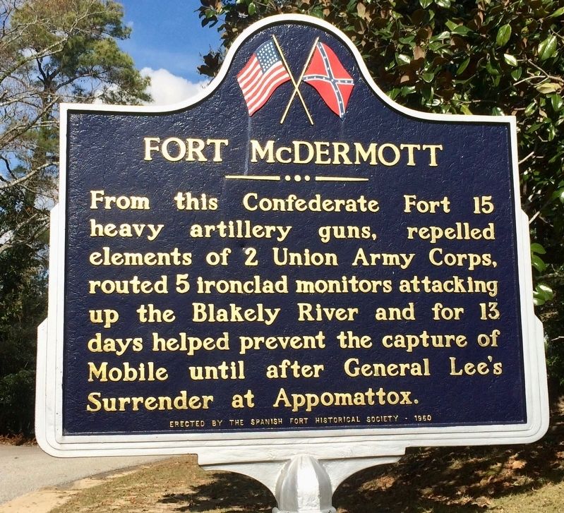
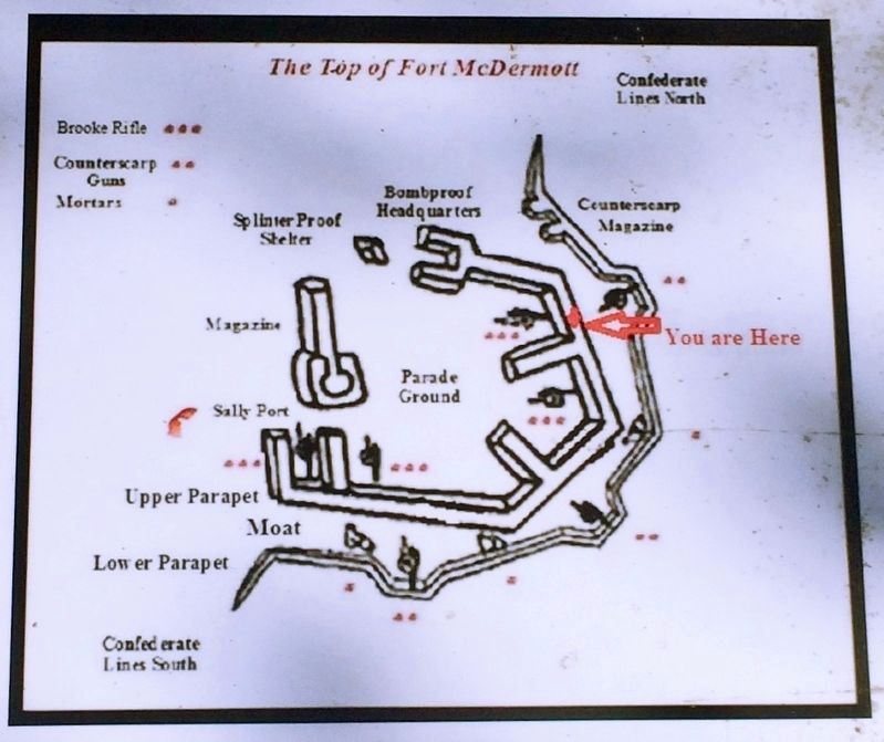
Fort McDermott
Erected 1960 by the Spanish Fort Historical Society.
Topics. This historical marker is listed in these topic lists: Forts and Castles • War, US Civil • Waterways & Vessels.
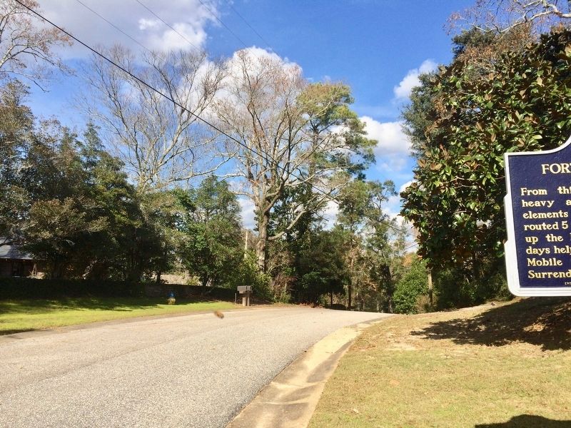
Location. 30° 40.23′ N, 87° 55.018′ W. Marker is in Spanish Fort, Alabama, in Baldwin County. Marker is on Confederate Drive, on the right when traveling north. Touch for map. Marker is at or near this postal address: 117 Confederate Drive, Spanish Fort AL 36527, United States of America. Touch for directions.
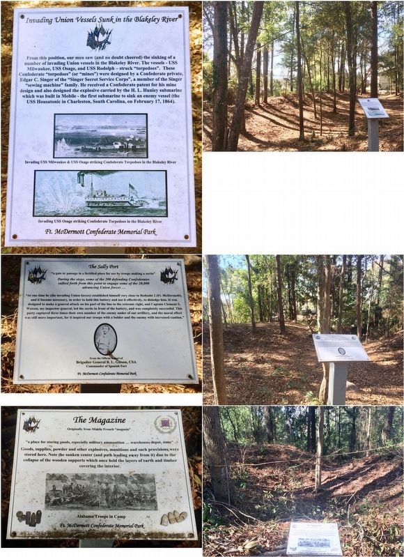
Other nearby markers. At least 8 other markers are within walking distance of this marker. A different marker also named Fort McDermott (about 700 feet away, measured in a direct line); Ft. McDermott Confederate Memorial Park (about 700 feet away); Albert Carey Danner (approx. 0.2 miles away); Confederate Drive (approx. 0.2 miles away); Spanish Fort (approx. 0.3 miles away); Caisson Trace (approx. 0.3 miles away); Union Siege Battery No. 1 (approx. 0.4 miles away); Confederate Main Line of Resistance (approx. 0.4 miles away). Touch for a list and map of all markers in Spanish Fort.
More about this marker. Over the last few years these markers have been repainted and repaired.
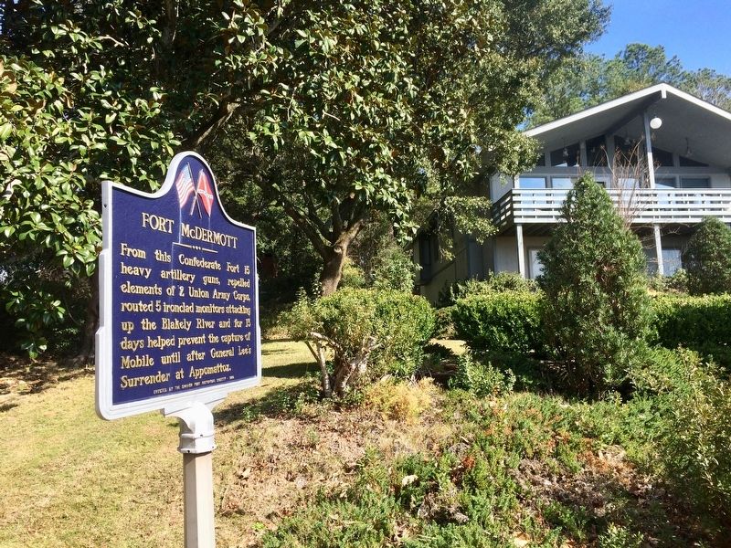
Regarding Fort McDermott. A private park has been cleared up, just east of this marker, behind the house you see here on the hill. This was the highest point along 2 miles of Confederate lines, looked over Blakeley River and provided an excellent vantage point for the Confederate artillery.
**Do not attempt to trespass or go behind the houses here. This is private property.**
Also see . . .
1. Fort Wiki on Fort McDermott. (Submitted on January 17, 2017, by Mark Hilton of Montgomery, Alabama.)
2. Wikipedia article on the Battle of Spanish Fort. (Submitted on January 17, 2017, by Mark Hilton of Montgomery, Alabama.)
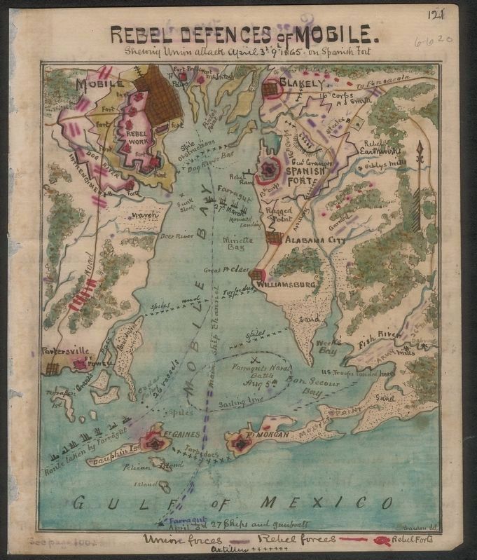
Library of Congress x85111414355 by Robert Knox Sneden
3. Map of the Rebel Defenses including this fort.
Map of Rebel defences [sic] of Mobile shewing [sic] Union attack April 3rd-9th 1865 on Spanish Fort (Robert Knox Sneden, 1832-1918). From the Library of Congress collection (Virginia Historical Society-Richmond, VA)
Credits. This page was last revised on February 1, 2017. It was originally submitted on January 17, 2017, by Mark Hilton of Montgomery, Alabama. This page has been viewed 991 times since then and 40 times this year. Photos: 1, 2, 3, 4, 5. submitted on January 17, 2017, by Mark Hilton of Montgomery, Alabama. 6. submitted on February 1, 2017, by Mark Hilton of Montgomery, Alabama.
