Elk Point in Union County, South Dakota — The American Midwest (Upper Plains)
Entering an Uncertain Land
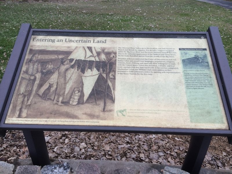
The Missouri River Valley, up to this location, was well-known to French and British fur trappers. For decades, trappers navigated down the Big Sioux River and the lower Missouri toward St. Louis. Due to the intimidating presence of the Yankton and Teton Sioux, the fur trade dwindled upriver from the mouth of the Big Sioux.
President Jefferson instructed the Corps of Discovery to seek out Indian tribes and record their languages, populations, religions, customs, food, clothing, and especially their willingness to trade with the United States. Given one desertion, a fatality, and four court-martials with less than one fourth of the journey completed, Meriwether Lewis and William Clark were anxious as they prepared to fulfill Jefferson's orders by meeting with representatives of the Sioux Nations for the first time.
Picture Title
Corps of Discovery first saw the conical tipis, used by the nomadic Northern Plains Indians, at the Yankton Sioux encampment.
Inset Paragraph
The Mysterious Mound
Strange stories abounded in this unfamiliar territory. One legend just 20 miles upriver involved a lone prairie hill in habited by 18-inch-high "Deavels" armed with "Sharp arrows with which they Can Kill at a great distance." The Indian tribes were said to avoid this hill, known today as Spirit Mound.
Journal Entry
"..above the Bluff we had the Prairie Set on fire to let the Soues See that we were on the river and as a Signal for them to Come to it."
William Clark, August 27, 1804
Erected by Lewis and Clark National Historic Trail.
Topics and series. This historical marker is listed in these topic lists: Exploration • Native Americans. In addition, it is included in the Former U.S. Presidents: #03 Thomas Jefferson, and the Lewis & Clark Expedition series lists. A significant historical date for this entry is August 27, 1804.
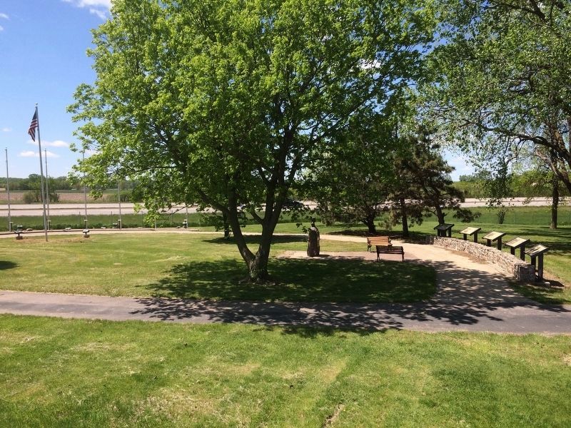
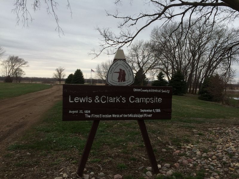
Location. 42° 40.998′ N, 96° 41.608′ W. Marker is in Elk Point, South Dakota, in Union County. Marker can be reached from S. Harrison St., ¼ mile W. Jefferson St.. This marker is located with others to recognize the Lewis and Clark expedition camped here in this park. Touch for map. Marker is in this post office area: Elk Point SD 57025, United States of America. Touch for directions.
Other nearby markers. At least 8 other markers are within 5 miles of this marker, measured as the crow flies. A Land of Plenty (here, next to this marker); Return to "Elk Sign" Campsite (here, next to this marker); U.S. Democracy Crosses the Mississippi River (here, next to this marker); The Lewis and Clark Expedition (here, next to this marker); Lewis & Clark Campsite / Eli Wixson Farm Site (about 300 feet away, measured in a direct line); Elk Point (approx. 0.4 miles away); First Election in Northwestern United States (approx. 0.6 miles away); Grasshopper Cross (approx. 4.2 miles away). Touch for a list and map of all markers in Elk Point.
Related markers. Click here for a list of markers that are related to this marker. To better understand the relationship, study each marker in the order shown.
Credits. This page was last revised on January 19, 2017. It was originally submitted on January 17, 2017, by Ruth VanSteenwyk of Aberdeen, South Dakota. This page has been viewed 447 times since then and 11 times this year. Photos: 1, 2, 3. submitted on January 17, 2017, by Ruth VanSteenwyk of Aberdeen, South Dakota. • Bill Pfingsten was the editor who published this page.


