Tompkinsville in Monroe County, Kentucky — The American South (East South Central)
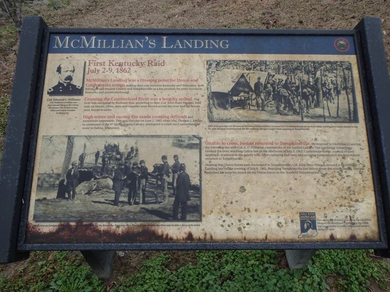
McMillian's Landing
First Kentucky Raid
July 2-9, 1862
Crossing the Cumberland River was a lengthy ordeal. The river was navigated by flatboats that, according to then-Col. John Hunt Morgan, held only six horses. Often, men and supplies were ferried across the river and the horses were forced to swim.
High water and enemy fire made crossing difficult and sometimes impossible. This was the case on June 2, 1862 when Maj. Thomas J. Jordan, in command of the 9th Pennsylvania Cavalry, attempted to cross the Cumberland en route to Celina, Tennessee.
Unable to cross, Jordan returned to Tompkinsville. He returned to McMillian's Landing the following day with Colonel E.C. Williams, commander of the Lochiel Cavalry. The combined Union force crossed the river, reaching Celina late in the afternoon of July 3, 1862. Confederate troops, warned of their approach, scattered to the nearby hills. After capturing four men and securing some supplies the detachment returned to Tompkinsville.
Hearing that Union forces were encamped in Tompkinsville, Col. John Hunt Morgan crossed at McMillian's Landing late on the evening of July 8, 1862. Reaching Tompkinsville just before dawn the next morning, Morgan launched his surprise attack on the Union forces in the "Battle of Tompkinsville."
Erected by John Hunt Morgan Heritage Trail of Kentucky.
Topics and series. This historical marker is listed in these topic lists: War, US Civil • Waterways & Vessels. In addition, it is included in the John Hunt Morgan Heritage Trail in Kentucky series list. A significant historical date for this entry is July 8, 1862.
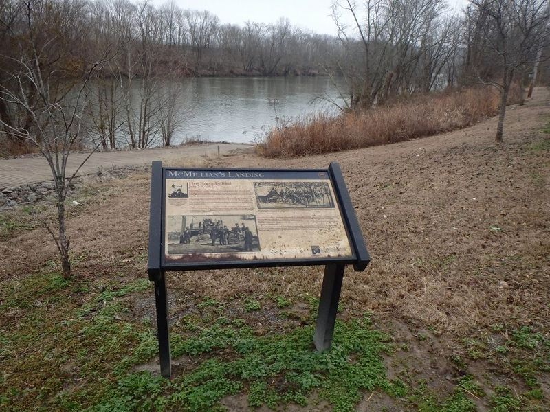
Location. 36° 41.241′ N, 85° 34.032′ W. Marker is in Tompkinsville, Kentucky, in Monroe County. Marker is on Otia-Blythe Road east of Turkey Neck Bend (Kentucky Route 214), on the left when traveling south. Marker is near the Cumberland River boat ramp located just off Hwy 214 at the only free ferry operated by the State of Kentucky. Touch for map. Marker is in this post office area: Tompkinsville KY 42167, United States of America. Touch for directions.
Other nearby markers. At least 8 other markers are within 8 miles of this marker, measured as the crow flies. Moore's Mill (approx. 5.1 miles away); Battle of Tompkinsville (approx. 6.7 miles away); Courthouse Burned (approx. 7 miles away); Monroe County - Tompkinsville (approx. 7 miles away); Monroe County World War I Memorial (approx. 7 miles away); Monroe County World War II Memorial (approx. 7 miles away); Monroe County Korean & Vietnam War Memorial (approx. 7 miles away); Operation Iraqi Freedom Monument (approx. 7.2 miles away). Touch for a list and map of all markers in Tompkinsville.
Also see . . . JHM Heritage Trail. Follow the trails of Morgan's Raiders through Kentucky, 1862-1863. (Submitted on January 19, 2017, by Chad Comer of Gamaliel, Kentucky.)
Credits. This page was last revised on January 20, 2017. It was originally submitted on January 19, 2017, by Chad Comer of Gamaliel, Kentucky. This page has been viewed 1,042 times since then and 70 times this year. Photos: 1, 2. submitted on January 19, 2017, by Chad Comer of Gamaliel, Kentucky. • Bernard Fisher was the editor who published this page.

