Columbia in Brown County, South Dakota — The American Midwest (Upper Plains)
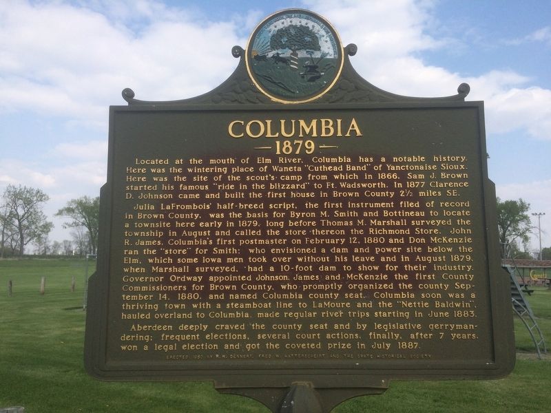
Columbia
1879
Julia LaFrombois' half-breed script, the first instrument filed of record in Brown County, was the basis for Byron M. Smith and Bottineau to locate a townsite here early in 1879, long before Thomas M. Marshall surveyed the township in August and called the store thereon the Richmond Store. John R. James, Columbia's first postmaster on February 12, 1880 and Don McKenzie ran the "store" for Smith; who envisioned a dam and power site below the Elm, which some Iowa men took over without his leave and in August 1879, when Marshall surveyed, had a 10-foot dam to show for their industry. Governor Ordway appointed Johnson, James and McKenzie the first County Commissioners for Brown County, who promptly organized the county September 14, 1880, and named Columbia county seat. Columbia soon was a thriving town with a steamboat line to LaMoure and the "Nettie Baldwin", hauled overland to Columbia, made regular river trips starting in June 1883.
Aberdeen deeply craved the county seat and by legislative gerrymandering; frequent elections, several court actions, finally, after 7 years won a legal election and got the coveted prize in July 1887.
Erected 1960 by R.R. Dennert, Fred W. Hatterscheidt and the State Historical Society. (Marker Number 318.)
Topics and series. This historical marker is listed in this topic list: Settlements & Settlers. In addition, it is included in the South Dakota State Historical Society Markers series list. A significant historical date for this entry is February 12, 1880.
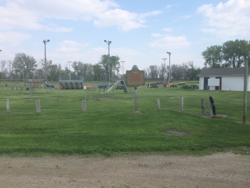
Location. 45° 36.303′ N, 98° 18.651′ W. Marker is in Columbia, South Dakota, in Brown County. Marker can be reached from 396th Avenue. Located in the city park ¼ mile south of Columbia. Touch for map. Marker is in this post office area: Columbia SD 57433, United States of America. Touch for directions.
Other nearby markers. At least 8 other markers are within 9 miles of this marker, measured as the crow flies. Columbia Marsh (approx. 3.7 miles away); Hamlin Garland (approx. 5.6 miles away); Daly Corners (approx. 5.8 miles away); Father Alexandra Ravoux (approx. 7.3 miles away); The View from the Top (approx. 8.2 miles away); Sand Lake's Observation Tower (approx. 8.2 miles away); Songbirds (approx. 8.4 miles away); Waterfowl (approx. 8.4 miles away). Touch for a list and map of all markers in Columbia.
Credits. This page was last revised on August 21, 2021. It was originally submitted on January 21, 2017, by Ruth VanSteenwyk of Aberdeen, South Dakota. This page has been viewed 665 times since then and 32 times this year. Last updated on August 20, 2021, by Ruth VanSteenwyk of Aberdeen, South Dakota. Photos: 1, 2. submitted on January 21, 2017, by Ruth VanSteenwyk of Aberdeen, South Dakota. • Mark Hilton was the editor who published this page.

