Frankfort in Franklin County, Kentucky — The American South (East South Central)
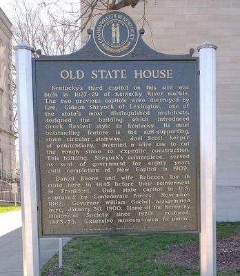
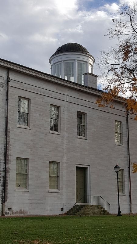
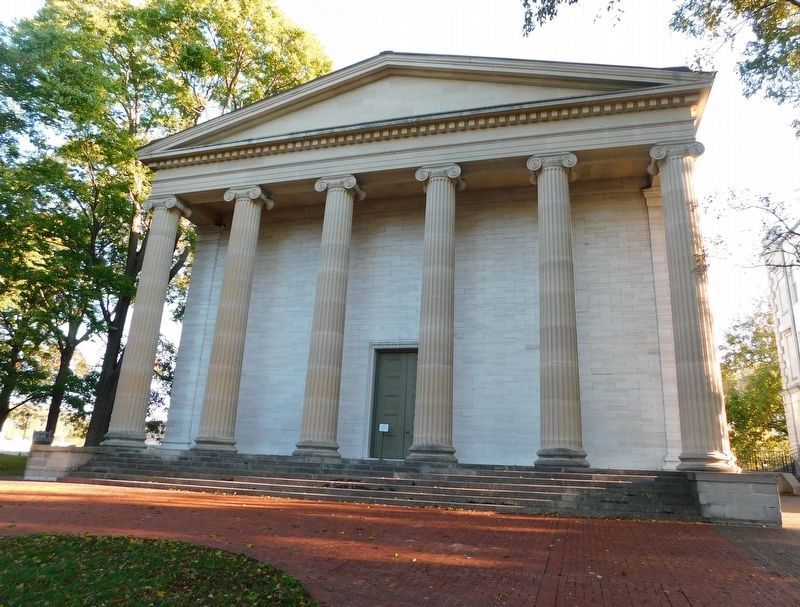
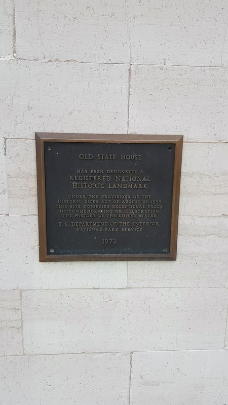
Old State House
Daniel Boone and wife Rebecca lay in state here in 1845 before their re-internment in Frankfort. Only state capitol in U.S. captured by Confederate forces, November 1862. Governor William Goebel assassinated here January 30, 1900. Home of the Kentucky Historical Society since 1920; restored 1973-75. Extensive museum - open to public.
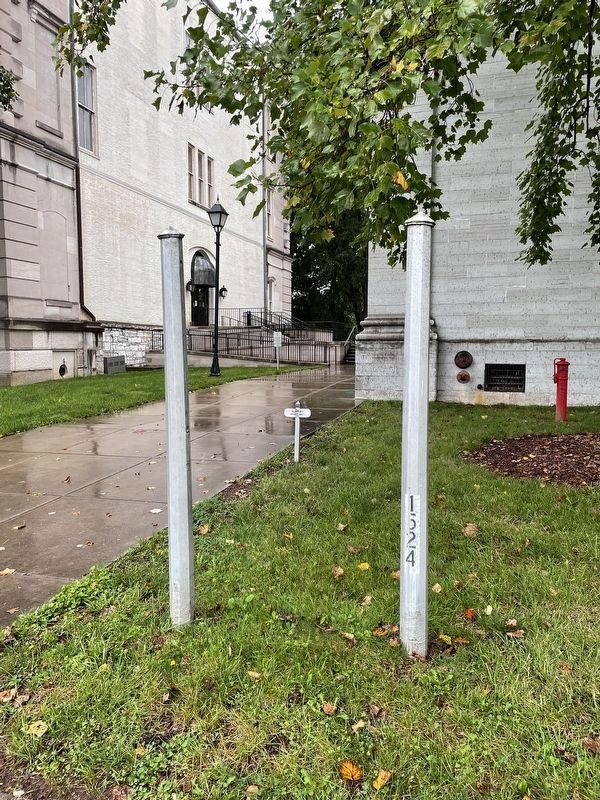
Erected 1975 by Kentucky Historical Society, Kentucky Department of Transportation. (Marker Number 1524.)
Topics and series. This historical marker is listed in these topic lists: Architecture • Government & Politics. In addition, it is included in the Kentucky Historical Society series list. A significant historical date for this entry is January 30, 1900.
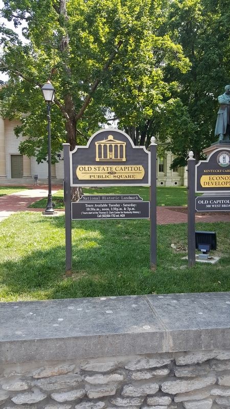
Location. This marker has been replaced by another marker nearby. It was located near 38° 12.031′ N, 84° 52.58′ W. Marker was in Frankfort, Kentucky, in Franklin County. Marker was at the intersection of Clinton Street (Kentucky Route 420) and St. Clair Street, on the right when traveling east on Clinton Street. Touch for map. Marker was at or near this postal address: 300 W Broadway St, Frankfort KY 40601, United States of America. Touch for directions.
Other nearby markers. At least 8 other markers are within walking distance of this location. Confederates Here (a few steps from this marker); Father of Kentucky Historical Society Highway Marker Program (within shouting distance of this marker); a different marker also named Old State House (within shouting distance of this marker); William Goebel (within shouting distance of this marker); Early Congregation (about 300 feet away, measured in a direct line); Governor William Goebel (about 300 feet away); Inauguration Elm (about 300 feet away); Old Kentucky State Prison Keystone (about 400 feet away). Touch for a list and map of all markers in Frankfort.
Credits. This page was last revised on March 24, 2022. It was originally submitted on January 22, 2017, by Pat Filippone of Stockton, California. This page has been viewed 580 times since then and 32 times this year. Photos: 1. submitted on March 24, 2022, by Craig Doda of Napoleon, Ohio. 2. submitted on January 22, 2017, by Pat Filippone of Stockton, California. 3. submitted on February 2, 2021, by Bradley Owen of Morgantown, West Virginia. 4, 5. submitted on January 22, 2017, by Pat Filippone of Stockton, California. 6. submitted on November 12, 2021, by Brian Anderson of Humble, Texas. • Bernard Fisher was the editor who published this page.
