Near Richmond in Chesterfield County, Virginia — The American South (Mid-Atlantic)
Cultural History
— Falling Creek Ironworks Park —
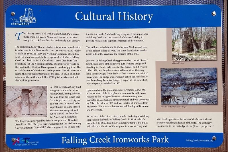
The earliest industry that existed at this location was the first iron furnace in the New World. Iron ore was extracted locally as early as 1608. In 1619, the Virginia Company of London sent 150 men to establish three ironworks, of which Falling Creek was built in 1621 after the first crew died from “the seasoning" of the Virginia climate. The ironworks would be the first in the Western Hemisphere to produce pig iron. The establishment of the site was an important historic event as it led to the eventual settlement of the area. In 1622, an Indian attack on the settlement killed 27 English workers and left the buildings in ruins.
In 1750, Archibald Cary built a forge on the south side of Falling Creek, having inherited the land from his father. The Cary forge converted pig iron into bar iron. It proved to be unprofitable, so Cary turned his attention to a grist mill, but re-started the forge for the American Revolution. The forge was destroyed by British troops under Benedict Arnold in 1781. The grist mill was named for the 18th-century Cary plantation, “Ampthill,” which adjoined the 69 acre mill tract to the north. Archibald Cary recognized the importance of Falling Creek and the potential of the area's ability to provide resources to support settlement and commerce.
The mill was rebuilt in the 1850s by John Watkins and was active at least as late as 1906. The stone foundations on the north side of the creek are the remains of that mill.
Just west of Falling Creek along present day Historic Route 1 lies the remnants of the only pre-20th-century bridge still standing in Chesterfield county. This bridge, built between 1826-1828, was largely constructed from stone that may have been salvaged from the blast furnace from the original ironworks. The bridge was originally called the Manchester and Petersburg Turnpike Bridge. It is part of the state’s first wayside park established in 1933.
Upstream from the present ruins of Archibald Cary’s mill is the location of the first planned community in the area. Known as the Village of Bensley, this community was marketed as a convenient streetcar suburb and was developed by Albert Bensley in 1909 and was located 20 minutes from Richmond. The streetcar line connected Bensley to Richmond and Petersburg.
At the turn of the 20th century, another industry was taking shape along the banks of Falling Creek. In 1934, officials from the Old Dixie Distilling Company attempted to build a distillery at the site of the original ironworks. They met with local opposition because of the historical and archaeological significance of the site. The distillery was moved to the east edge of the 57-acre property.
(captions)
Post socket from the ironworks.
Grist mill ruins
Wooden timber from Cary’s Forge.
Erected 2016 by Falling Creek Ironworks Foundation, Chesterfield Heritage Alliance.
Topics. This historical marker is listed in these topic lists: Industry & Commerce • Man-Made Features • Settlements & Settlers • War, US Revolutionary. A significant historical year for this entry is 1621.
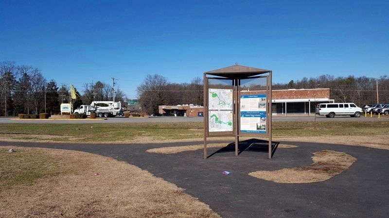
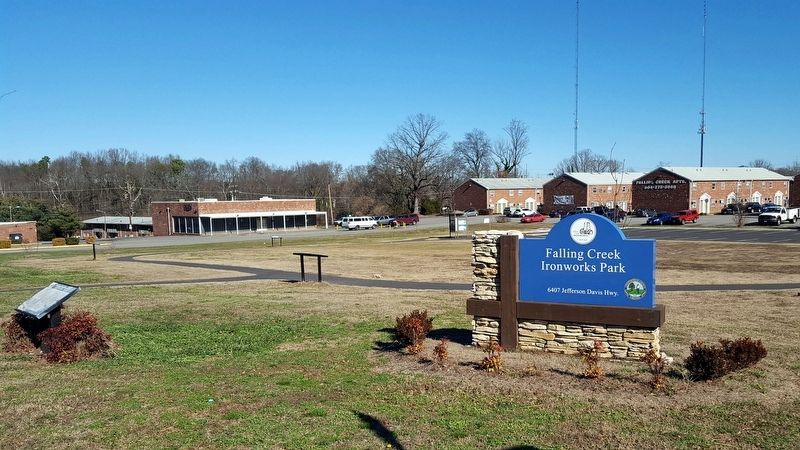
Location. 37° 26.277′ N, 77° 26.278′ W. Marker is near Richmond, Virginia, in Chesterfield County. Marker can be reached from the intersection of Jefferson Davis Highway (U.S. 1) and Marina Drive, on the right when traveling north. Located in Falling Creek Ironworks Park. Touch for map. Marker is at or near this postal address: 6407 Jefferson Davis Hwy, Richmond VA 23237, United States of America. Touch for directions.
Other nearby markers. At least 8 other markers are within walking distance of this marker. Historic Village of Bensley (here, next to this marker); Historic Route 1 (here, next to this marker); Falling Creek Stone Bridge (here, next to this marker); Natural History (a few steps from this marker); Iron Furnace Overlook (a few steps from this marker); Cary’s Mill Overlook (a few steps from this marker); a different marker also named Natural History (a few steps from this marker); a different marker also named Historic Village of Bensley (within shouting distance of this marker). Touch for a list and map of all markers in Richmond.
Also see . . . Falling Creek Ironworks Foundation. (Submitted on January 26, 2017.)
Credits. This page was last revised on January 26, 2017. It was originally submitted on January 26, 2017, by Bernard Fisher of Richmond, Virginia. This page has been viewed 531 times since then and 27 times this year. Photos: 1, 2, 3. submitted on January 26, 2017, by Bernard Fisher of Richmond, Virginia.


