Zona Centro in San Francisco de Campeche in Campeche, Mexico — The Southeast (Yucatan Peninsula)
Bastion of Santiago
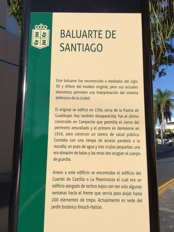
Baluarte de Santiago
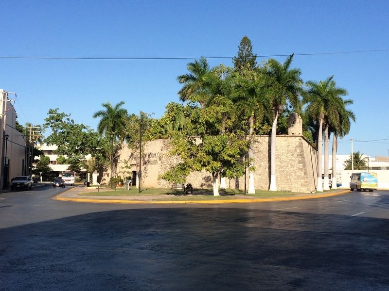
Este baluarte fue reconstruido a mediados del siglo XX y difiere del modelo original, pero sus actuales elementos permiten una interpretación del sistema defensivo de la ciudad.
El original se edificó en 1704 cerca de la Puerta de Guadalupe, hoy también desaparecida, fue el último construido en Campeche que permitía el cierre del perímetro amurallado y el primero en demolerse en 1916, para construir un centro de salud pública. Contaba con una rampa de acceso paralela a la muralla; un pozo de agua y tres crujías pequeñas: una era almacén de balas y las otras dos acogían al cuerpo de guardia. Anexo a este edificio se encontraba el edificio del Cuartel de Castilla o La Maestranza el cual era un edificio alargado de techos bajos con tan solo algunas ventanas hacia el frente que servía para alojar hasta 200 elementos de tropa. Actualmente es sede del jardín botánico Xmuch-Haltún.
English:
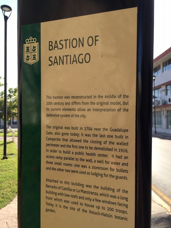
Bastion of Santiago
This bastion was reconstructed in the middle of the 20th century and differs from the original model, but its current elements allow an interpretation of the defensive system of the city.
The original was built in 1704 near the Guadalupe Gate, also gone today; it was the last one built in Campeche that allowed the closing of the walled perimeter and the first one to be demolished in 1916, in order to build a public health center. It had an access ramp parallel to the wall, a well for water and three small rooms: one was a storeroom for bullets and the other two were used as lodging for the guards.
Attached to this building was the building of the Barracks of Castilla or La Maestranza, which was a long building with low roofs and only a few windows facing front which was used to house up to 200 troops. Today it is the site of the Xmuch-Haltún botanic garden.
Topics. This historical marker is listed in these topic lists: Colonial Era • Forts and Castles • Man-Made Features. A significant historical year for this entry is 1704.
Location. 19° 50.862′ N, 90° 32.103′ W. Marker is in San Francisco de Campeche, Campeche. It is in Zona Centro. Marker is on Calle 49, on the right when traveling east. Touch for map. Marker is at or near this postal address: 168 Calle 49, San Francisco de Campeche CAMP 24000, Mexico. Touch for directions.
Other nearby markers. At least 8 other markers are within walking distance of this marker. The Guadalupe Gate (about 150 meters away, measured in a direct line); Park of the 4th Centenary San Martín (about 180 meters away); Campeche Library (about 210 meters away); Francisco de Paulo Toro Theater (about 240 meters away); "La Española" Chapel (approx. 0.2 kilometers away); Independence Square (approx. 0.3 kilometers away); Temple of the Sweet Name of Jesus (approx. 0.3 kilometers away); "The Palace" Cultural Center (approx. 0.3 kilometers away). Touch for a list and map of all markers in San Francisco de Campeche.

Photographed By J. Makali Bruton, January 10, 2017
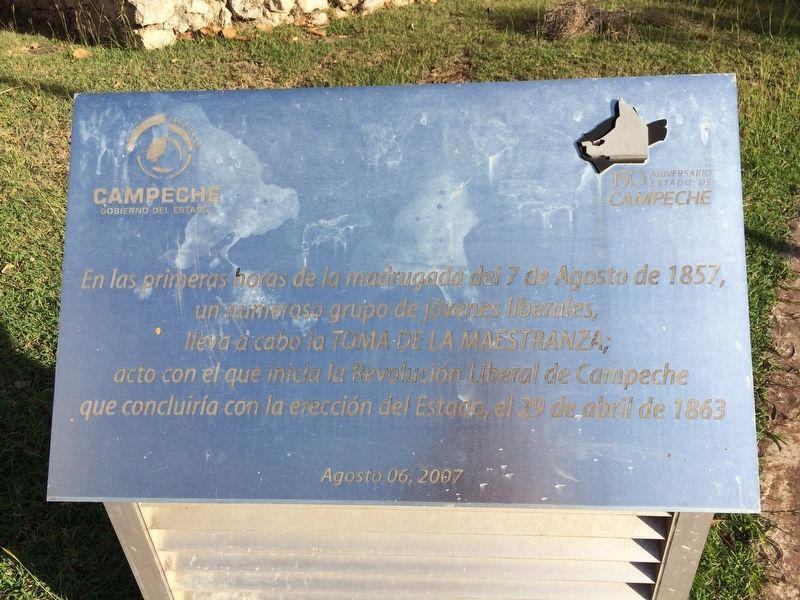
4. An additional marker outside of the Bastion of Santiago
En las primeras horas de la madrugada del 7 de Agosto de 1857, un numeroso grupo de jóvenes liberales, lleva a cabo la Toma de la Maestranza; acto con el que inicia la Revolución Liberal de Campeche que concluiría con la erección del Estado el 29 de abril de 1863. Agosto 06, 2007
English translation:
In the early hours of the morning of August 7, 1857, a large group of young liberals took this bastion in the "Toma de la Maestranza"; This act marked the start of the Liberal Revolution of Campeche that would conclude with it being declared a state on April 29, 1863. August 6, 2007.
Credits. This page was last revised on January 28, 2017. It was originally submitted on January 28, 2017, by J. Makali Bruton of Accra, Ghana. This page has been viewed 201 times since then and 16 times this year. Photos: 1, 2, 3, 4. submitted on January 28, 2017, by J. Makali Bruton of Accra, Ghana.


