Zona Centro in San Francisco de Campeche in Campeche, Mexico — The Southeast (Yucatan Peninsula)
“Tukulná” Handicrafts House
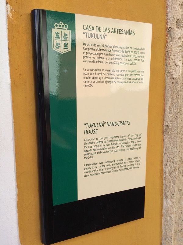
Casa de las Artesanías “Tukulná”
De acuerdo con el primer plano regulador de la ciudad de Campeche, elaborado por Francisco de Bazán en 1658,y con el proyectado por Juan Francisco Esquivel en 1663, en este predio ya existía una edificación. La casa actual fue construida a finales del siglo XIX y principios del XX.
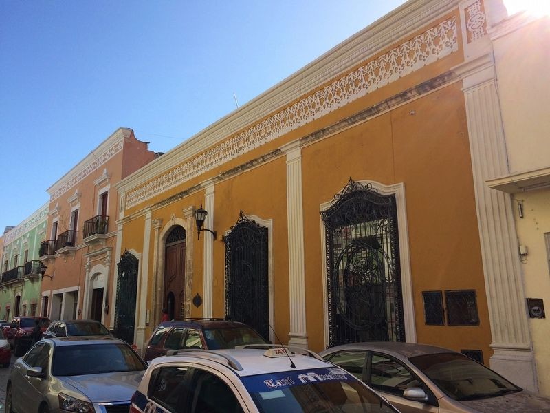
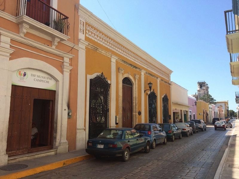
La construcción se desarrolla en torno a un patio con un pozo con brocal de cantera, rodeado por una arcada de medio punto que descansa sobre columnas toscanas de cantera; es un claro ejemplo de la arquitectura ecléctica del siglo XX.
English:
“Tukulná” Handcrafts House
According to the first regulated layout of the city of Campeche drafted by Francisco de Bazán in 1658, and with the one proposed by Juan Francisco Esquivel in 1663, there already was a building on this site. The current house was constructed at the end of the 19th century and beginning of the 20th.
Construction was developed around a patio with a quarry-stone curbed well, surrounded by a semi-circular arcade which rests on quarry-stone Tuscan columns; it is a clear example of the eclectic architecture of the 20th century.
Topics. This historical marker is listed in these topic lists: Arts, Letters, Music • Colonial Era • Man-Made Features. A significant historical year for this entry is 1658.
Location. 19° 50.683′ N, 90° 32.31′ W. Marker is in San Francisco de Campeche, Campeche. It is in Zona Centro. Marker is on Calle 10, on the left when traveling west. Touch for map. Marker is at or near this postal address: 335 Calle 10, San Francisco de Campeche CAMP 24000, Mexico. Touch for directions.
Other nearby markers. At least 8 other markers are within walking distance of this marker. Gate to the Sea (about 120 meters away, measured in a direct line); Governor's Palace (about 120 meters away); Pedro Sainz de Baranda y Borreyro (about 150 meters away); The Birthplace of Justo Sierra Méndez (about 180 meters away); Bastion of Our Lady of Solitude (about 180 meters away); "The Palace" Cultural Center (about 180 meters away); Independence Square (about 210 meters away); The Bastion of San Carlos (about 210 meters away). Touch for a list and map of all markers in San Francisco de Campeche.
Credits. This page was last revised on April 29, 2017. It was originally submitted on January 28, 2017, by J. Makali Bruton of Accra, Ghana. This page has been viewed 200 times since then and 9 times this year. Photos: 1, 2. submitted on January 28, 2017, by J. Makali Bruton of Accra, Ghana. 3. submitted on April 29, 2017, by J. Makali Bruton of Accra, Ghana.


