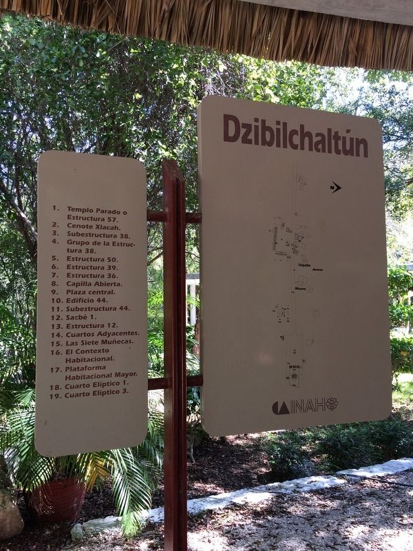
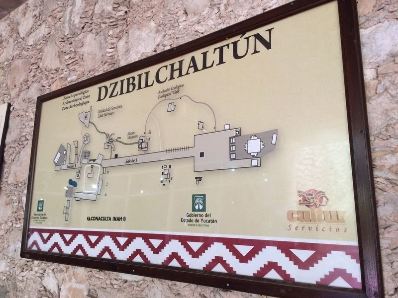
Dzibilchaltún in Mérida, Yucatán, Mexico — The Southeast (Yucatan Peninsula)
Dzibilchaltún Archaeological Site
Inscription.
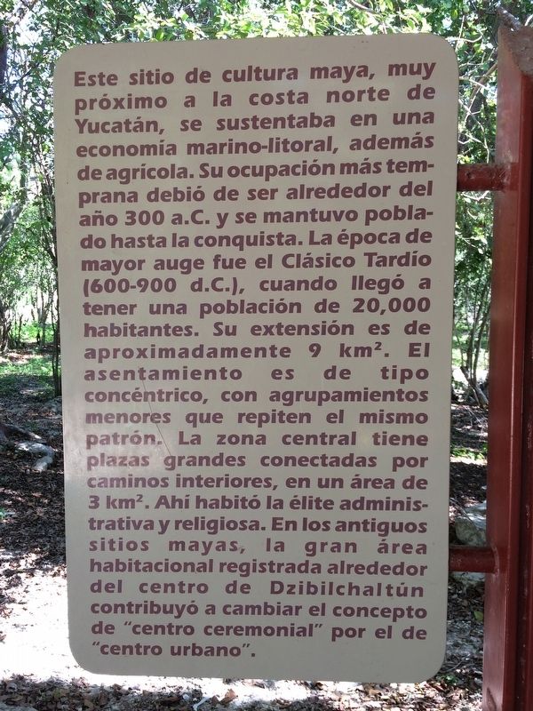
Este sitio de cultura maya, muy próximo a la costa norte de Yucatán, se sustentaba en una economía marino-litoral, además de agrícola. Su ocupación más temprana debió de ser alrededor del año 300 a.C. y se mantuvo poblado hasta la conquista. La época de mayor auge fue el Clásico Tardío (600-900 d.C.), cuando llegó a tener una población de 20,000 habitantes. Su extensión es de aproximadamente 9 km2. El asentamiento es de tipo concéntrico, con agrupamientos menores que repiten el mismo patrón. La zona central tiene plazas grandes conectadas por caminos interiores, en un área de 3 km2. Ahí habitó la élite administrativa y religiosa. En los antiguos sitios mayas, la gran área habitacional registrada alrededor del centro de Dzibilchaltún contribuyó a cambiar el concepto de “centro ceremonial” por el de “centro urbano”.
Maya-Yucateco:
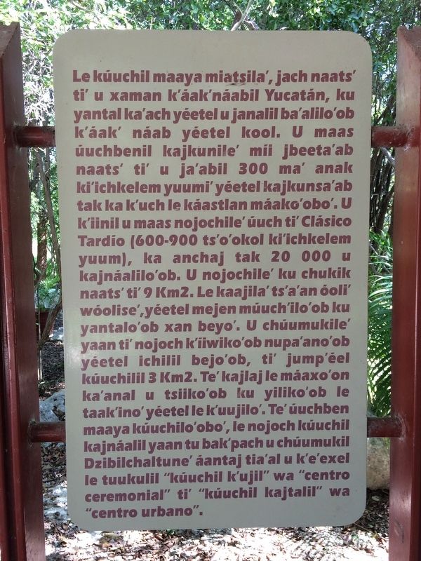
Le kúuchil maaya miatsila’, jach naats’ ti’ u xaman k’áak’náabil Yucatán, ku yantal ka’ach yéetel u janalil ba’alilo’ob k’áak’ náab yéetel kool. U maas úuchbenil kajkunile’ mii jbeeta’ab naats’ ti’ u ja’abil 300 ma’ anak ki’ichkelem yuumi’ yéetel kajkunsa’ab tak ka k’uch le káastlan máako’obo’. U k’iinil u maas nojochile’ úuch ti’ Clásico Tardío (600-900 ts’o’okol ki’ichkelem yuum), ka anchaj tak 20 000 u kajnáalilo’ob. U nojochile’ ku chukik naats’ ti’ 9 Km2. Le kaajila’ ts’a’an óoli’ wóolise’, yéetel mejen múuch’ilo’ob ku yantalo’ob xan beyo’. U chúumukile’ yaan ti’ nojoch k’iiwiko’ob nupa’ano’ob yéetel ichilil bejo’ob, ti’ jump’éel kúuchilil 3 Km2. Te’ kajlaj le máaxo’on ka’anal u tsiiko’ob ku yiliko’ob le taak’ino’yéetel le k’uujilo’. Te’ úuchben maaya kúuchilo’obo’, le nojoch kúuchil kajnáalil yaan tu bak’pach u chúumukil Dzibilchaltune’ áantaj tia’al u k’e’exel le tuukulil “kúuchil k’ujil” wa “centro ceremonial” ti’ “kúuchil kajtalil” wa “centro urbano”.
English:
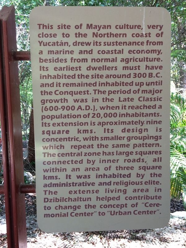
This site of Mayan culture, very close to the Northern coast of Yucatán, drew its sustenance from a marine and coastal economy, besides from normal agriculture. Its earliest dwellers must have inhabited the site around 300 B.C. and it remained inhabited up until the Conquest. The period of major growth was in the Late Classic (600-900 A.D.), when it reached a population of 20,000 inhabitants. lts extension is aproximately nine square kms. Its design is concentric, with smaller groupings which repeat the same pattern. The central zone has large squares connected by inner roads, all within an area of three square kms. It was inhabited by the administrative and religious elite. The extense living area in Dzibilchaltun helped contribute to change the concept of "Ceremonial Center" to "Urban Center”.
Erected by Instituto Nacional
de Antropología e Historia (INAH).
Topics. This historical marker is listed in these topic lists: Anthropology & Archaeology • Native Americans • Waterways & Vessels.
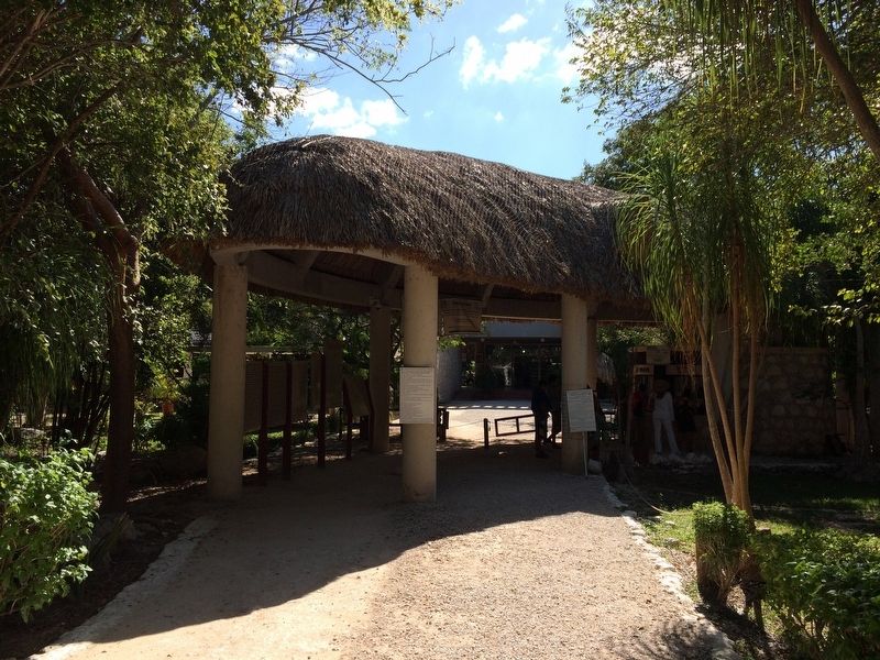
Location. 21° 5.557′ N, 89° 35.775′ W. Marker is in Dzibilchaltún, Yucatán, in Mérida. The markers are located at the entrance to the Dzibilchaltun Archaeological Zone. The park is off the road towards the small village of Dzilbilchaltun, to the east some 20 km north of Mérida on the Mérida-Progeso Highway (Hwy. 261). Touch for map. Marker is in this post office area: Dzibilchaltún YU 97300, Mexico. Touch for directions.
Other nearby markers. At least 8 other markers are within walking distance of this marker. Substructure 38 (about 150 meters away, measured in a direct line); Structure 36 (about 150 meters away); Sacbe 1 (about 180 meters away); The Open Chapel (about 180 meters away); Central Square (about 210 meters away); Edifice 44 (approx. 0.3 kilometers away); The Habitational Complex (approx. 0.4 kilometers away); Adjoining Rooms (approx. 0.6 kilometers away). Touch for a list and map of all markers in Dzibilchaltún.
Photographed By J. Makali Bruton, March 28, 2019
7. Dzibilchaltún Archaeological Site
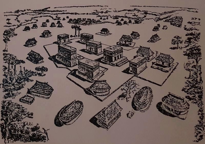
This image is from the Museo de la Cultura Maya (Museum of Mayan Culture) in Chetumal, Quintana Roo, Mexico. Its caption reads:
Grupo arquitectónico de Dzibilchaltún con influencia Puuc
English:
Architectural group, Dzilbilchaltún, with Puuc influence
Architectural group, Dzilbilchaltún, with Puuc influence
Credits. This page was last revised on October 14, 2022. It was originally submitted on January 29, 2017, by J. Makali Bruton of Accra, Ghana. This page has been viewed 194 times since then and 10 times this year. Photos: 1, 2, 3, 4, 5, 6. submitted on January 29, 2017, by J. Makali Bruton of Accra, Ghana. 7. submitted on June 25, 2019, by J. Makali Bruton of Accra, Ghana.
