Sylmar near Los Angeles in Los Angeles County, California — The American West (Pacific Coastal)
Beale's Cut
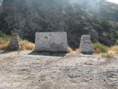
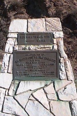
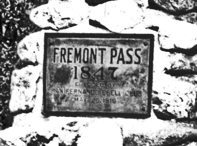
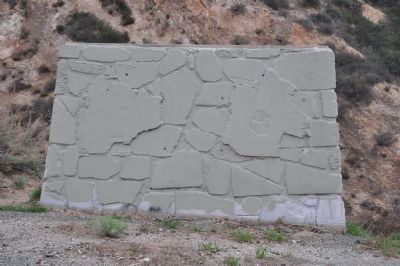
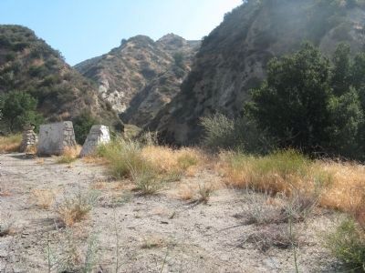
[This site was designated California Historical Landmark No. 1006 on May 11, 1992. There are three rock and concrete bases which had displayed four different markers. The markers are now missing. The following marker was never placed:]
California Office of Historic Preservation Statement of Significance:
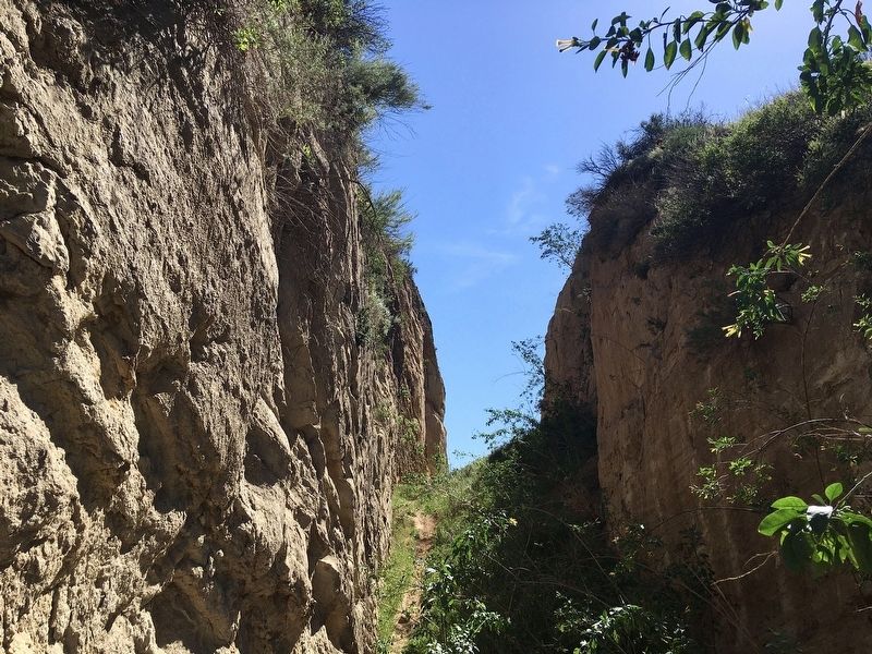
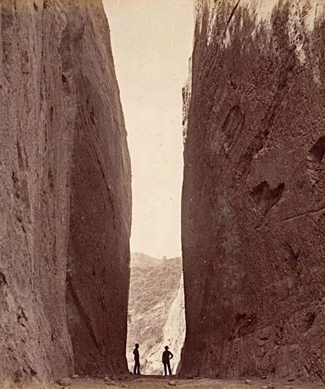
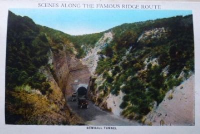
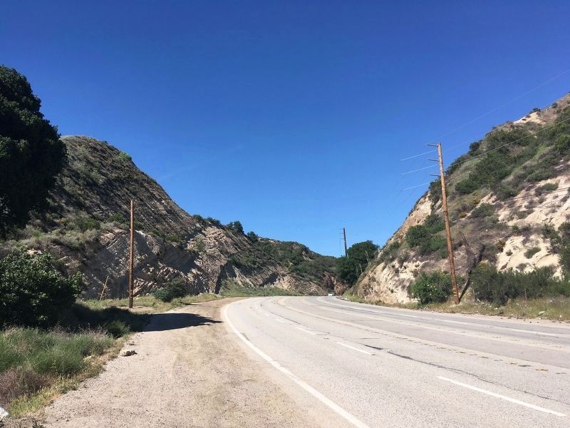
Beale's Cut is the only physical and cultural feature of its kind in the entire Los Angeles Basin. At the time of its construction in 1862, the actual creation and maintenance of the Cut was considered a significant technological and physical feat consisting of breaching the former impassable geographic barrier of the San Gabriel and Santa Susana Mountain ranges. General Edward F. Beale is attributed with the construction of a toll road across the mountains. Beale's Cut was also used as a favorite film-making location by pioneer film maker, David Wark Griffith, and others.
Erected by California Office of Historic Preservation. (Marker Number 1006.)
Topics and series. This historical marker is listed in these topic lists: Industry & Commerce • Man-Made Features • Roads & Vehicles. In addition, it is included in the California Historical Landmarks series list. A significant historical year for this entry is 1862.
Location. Marker is missing. It was located near 34° 20.53′ N, 118° 30.564′ W. Marker was near Los Angeles, California, in Los Angeles County. It was in Sylmar. Marker was on Sierra Highway, 0.7 miles north of Foothill Boulevard, on the right when traveling north. Touch for map. Marker was at or near this postal address: 22580 Sierra Highway, Sylmar CA 91342, United States of America. Touch for directions.
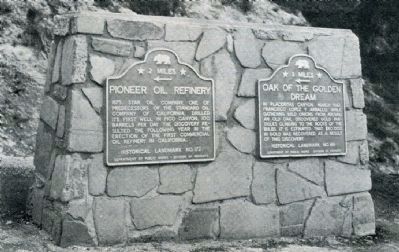
Other nearby markers. At least 8 other markers are within 3 miles of this location, measured as the crow flies. Live Oak Manor Rock Arch (approx. 0.9 miles away); Lyons Station (approx. 1.4 miles away); Last Horse Drawn Hearse of Los Angeles County (approx. 1.4 miles away); Eternal Valley (approx. 1.4 miles away); Mark Twain (approx. 1˝ miles away); The Cascades (approx. 1˝ miles away); Pioneer Oil Refinery (approx. 2 miles away); Rim of the Valley Trail (approx. 2.3 miles away). Touch for a list and map of all markers in Los Angeles.
Also see . . .
1. Beale’s Cut. Beale's Cut, once the gateway between Los Angeles and Newhall and points north, was used many times in early Hollywood movies. Tom Mix, John Wayne and many more notable early movie stars filmed in this area. (Submitted on June 19, 2009.)
2. Newhall (Auto) Tunnel Opens. SCV History website entry (Submitted on June 26, 2023, by Larry Gertner of New York, New York.)
Additional commentary.
1. Beale's Cut
The outbreak of the Civil War in 1861 increased demand for this region’s gold and oil. This put pressure on the Los Angeles County Board of Supervisors to improve the inland north-south road that Phineas Banning blazed across the San Gabriel Mountains in 1854. General Edward Beal, Surveyor-General of California and Nevada, acquired the contract for the project. In 1863, his crew created Beale’s Cut, a 93-foot deep by 20-foot wide passage through the mountains.
— Submitted June 19, 2009, by Syd Whittle of Mesa, Arizona.
2. Additional information about the Marker
As the co-author that worked with Jerry Reynolds to register Beale's Cut, I would like to clarify that, along with the land owner at the time, we thought it best not to have a marker created and installed at the site.
— Submitted May 28, 2011, by Cynthia Harris of Newhall, California.
Credits. This page was last revised on November 19, 2023. It was originally submitted on June 19, 2009. This page has been viewed 10,821 times since then and 285 times this year. Last updated on October 27, 2021. Photos: 1. submitted on June 19, 2009, by Syd Whittle of Mesa, Arizona. 2. submitted on April 20, 2010. 3. submitted on January 15, 2018, by Craig Baker of Sylmar, California. 4, 5. submitted on January 17, 2012, by Michael Kindig of Elk Grove, California. 6. submitted on June 19, 2009, by Syd Whittle of Mesa, Arizona. 7, 8. submitted on January 3, 2023, by Craig Baker of Sylmar, California. 9. submitted on October 16, 2012, by Chris English of Phoenix, Arizona. 10. submitted on January 3, 2023, by Craig Baker of Sylmar, California. • J. Makali Bruton was the editor who published this page.
