Fort Bliss in El Paso County, Texas — The American South (West South Central)
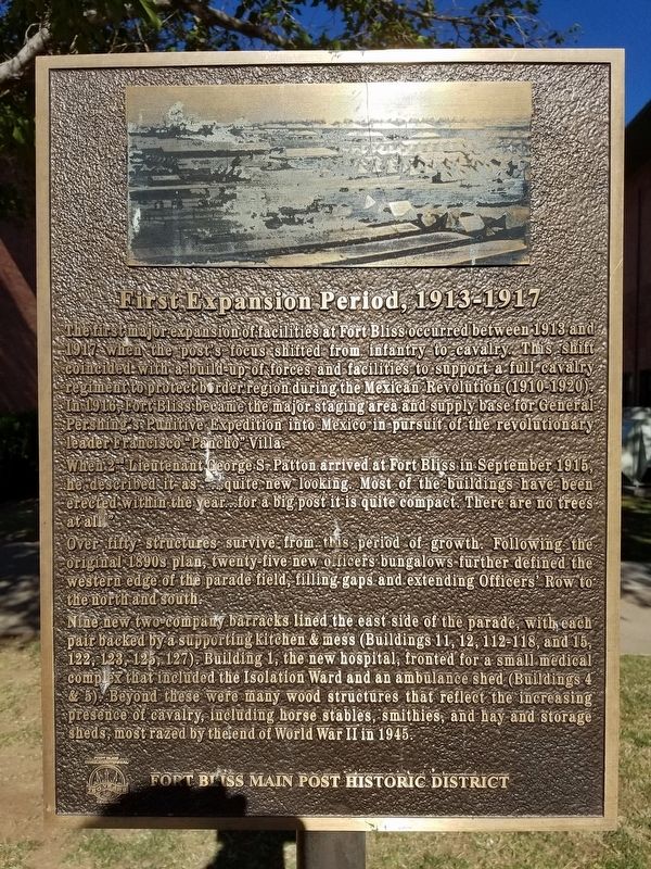
First Expansion Period
1913 - 1917
When 2nd Lietuenant Geroge S. Patton arrived at Fort Bliss in September 1915, he described it as …quite new looking. Most of the buildings have been erected within the year…for a big post it is quite compact. There are no trees at all.”
Over fifty structures survive from this period of growth. Following the original 1890s plan, twenty-five new officers bungalows further defined the western edge of the parade field, filling gaps and extending Officers’ Row to the north and south.
Nine new two-company barracks lined the east side of the parade, with each pair backed by a supporting kitchen & mess (Buildings 11, 12, 112-118, and 15, 122, 123, 125, 127). Building 1, the new hospital, fronted for a small medical complex that included the Isolation Ward and an ambulance shed (Buildings 4 & 5). Beyond these were many wood structures that reflect the increasing presence of cavalry, including horse stables, smithies, and hay and storage sheds, most razed by the end of World War II in 1945.
Erected by Fort Bliss.
Topics. This historical marker is listed in this topic list: Military. A significant historical month for this entry is September 1915.
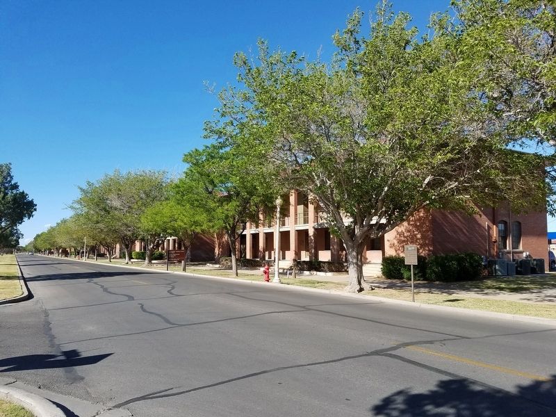
Location. 31° 48.625′ N, 106° 26.154′ W. Marker is in Fort Bliss, Texas, in El Paso County. Marker is on Pershing Road, on the right when traveling north. Touch for map. Marker is in this post office area: Fort Bliss TX 79916, United States of America. Touch for directions.
Other nearby markers. At least 8 other markers are within walking distance of this marker. Initial Construction Period (about 300 feet away, measured in a direct line); Quarters 236 Sheridan (about 500 feet away); Historical Building 241 - The Guardhouse, 1893 (about 700 feet away); Colonel George Ruhlen (approx. 0.2 miles away); Joshua Micah Mills (approx. 0.2 miles away); William Wallace Smith Bliss Monument (approx. ¼ mile away); Polk House (approx. 0.3 miles away); Hinman Hall (approx. 0.4 miles away). Touch for a list and map of all markers in Fort Bliss.
Credits. This page was last revised on May 6, 2017. It was originally submitted on February 12, 2017, by Kevin W. of Stafford, Virginia. This page has been viewed 420 times since then and 38 times this year. Photos: 1. submitted on February 12, 2017, by Kevin W. of Stafford, Virginia. 2. submitted on May 6, 2017, by Kevin W. of Stafford, Virginia.

