Oroville in Butte County, California — The American West (Pacific Coastal)
Oroville Dam
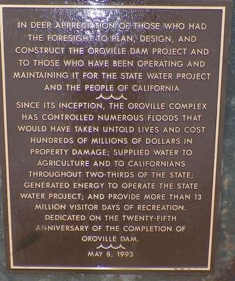
In deep appreciation of those who had the foresight to plan, design, and construct the Oroville Dam Project and to those who have been operating and maintaining it for the State Water Project and the people of California.
Since its inception, the Oroville complex has controlled numerous floods that would have taken untold lives and cost hundreds of millions of dollars in property damage; supplied water to agriculture and to Californians throughout two-thirds of the state; generated energy to operate the State Water Project; and provide more than 13 million visitor days of recreation.
Dedicated on the twenty-fifth anniversary of the completion of Oroville Dam. May 8, 1993
Erected 1993.
Topics. This historical marker is listed in these topic lists: Agriculture • Charity & Public Work • Industry & Commerce • Waterways & Vessels. A significant historical year for this entry is 1968.
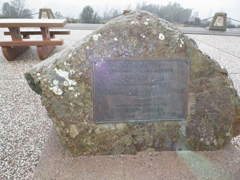
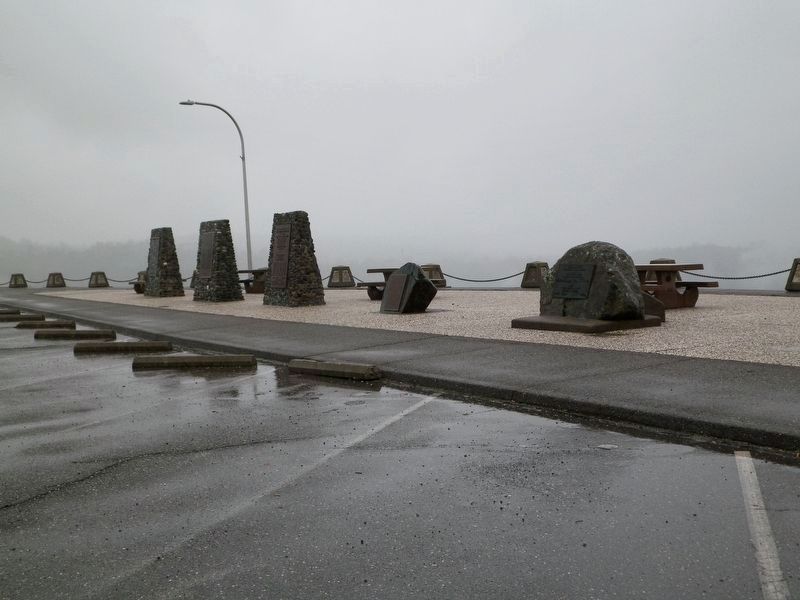
Location. 39° 32.519′ N, 121° 29.473′ W. Marker is in Oroville, California, in Butte County. Marker is on Brad Freeman Trail, on the right when traveling south. The markers are in the parking area on top of the dam near the spillway gates. Touch for map. Marker is in this post office area: Oroville CA 95965, United States of America. Touch for directions.
Other nearby markers. At least 8 other markers are within 3 miles of this marker, measured as the crow flies. Autumn Harvest (approx. 1.4 miles away); Long's Bar (approx. 1.8 miles away); Morris Ravine School (approx. 1.9 miles away); The Mother Orange Tree of Butte County (approx. 2 miles away); Bidwell's Bar (approx. 2 miles away); Bidwell Bar Bridge and Tollhouse (approx. 2 miles away); Northern California's Oldest Citrus Tree (approx. 2.2 miles away); a different marker also named Mother Orange Tree of Butte County (approx. 2.2 miles away). Touch for a list and map of all markers in Oroville.
Regarding Oroville Dam. In light of the events of February 2017, it makes one wonder about the foresight and planning that resulted in a concrete spillway channel built without re-bar and an auxiliary spillway that simply runs over a concrete wall and then down the unsupported and unprotected soil of the mountainside. It also gives one pause to know that these deficiencies were known to the operators and could have been corrected before the near-disaster of February 2017.
Also see . . .
1. Oroville Dam. Wikipedia entry (Submitted on May 26, 2022, by Larry Gertner of New York, New York.)
2. The Oroville Dam Train Tunnel Collision. "What exactly caused the accident will never be known. All who would know perished in
the collision." (Submitted on February 19, 2017, by James King of San Miguel, California.)
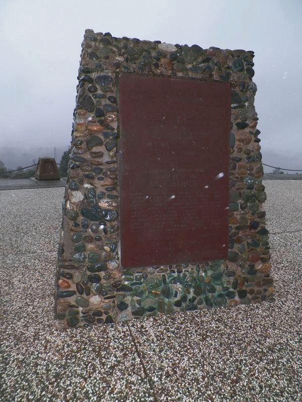
Photographed By James King, December 8, 2016
3. A Sackful of Sand and Gravel
STATE WATER PROJECT
for the entire
STATE OF CALIFORNIA
a sackful of sand and gravel
from each of the counties
was used in the first concrete
placed in the core of
OROVILLE DAM
Symbolic contributions
came from the
58 COUNTIES
Alameda Alpine Amador Butte Calaveras Colusa Contra Costa Del Norte El Dorado Fresno Glenn Humboldt Imperial Inyo Kern Kings Lake Lassen Los Angeles Madera Marin Mariposa Mendocino Merced Modoc Mono Monterey Napa Nevada Orange Placer Plumas Riverside Sacramento San Benito San Bernardino San Diego San Francisco San Joaquin San Luis Obispo San Mateo Santa Barbara Santa Clara Santa Cruz Shasta Sierra Siskiyou Solano Sonoma Stanislaus Sutter Tehama Trinity Tulare Tuolumne Ventura Yolo Yuba
EDMUND G. BROWN, GOVERNOR
State of California
illegible
Department of Water Resources
Photographed By James King, December 8, 2016
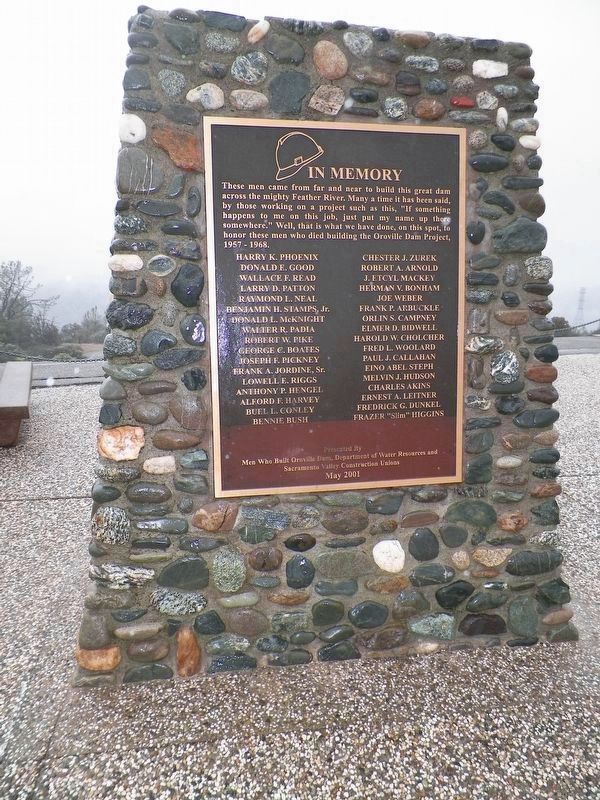
4. Memorial to Those Who Died During Construction
These men came from far and near to build this great dam across the mighty Feather River. Many a time it has been said, by those working on a project such as this, "If something happens to me on this job, just put my name up there somewhere." Well, that is what we have done, on this spot, to honor these men who died building the Oroville Dam Project, 1957 - 1968.
Harry K. Phoenix Donald E. Good
Wallace F. Read Larry D. Patton
Raymond L. Neal Benjamin H. Stamps, Jr.
Donald L. McKnight Walter R. Padia
Robert W. Pike George C. Boates
Joseph F. Pickney Frank A. Jordine, Sr.
Lowell E. Riggs Anthony P. Hengel
Alford F. Harvey Buel L. Conley
Bennie Bush Chester J. Zurek
Robert A. Arnold J. Etcyl Mackey
Herman V. Bonham Joe Weber
Frank P. Arbuckle Orlin S. Campney
Elmer D. Bidwell Harold W. Cholcher
Fred L. Woolard Paul J. Callahan
Eino Abel Steph Melvin J. Hudson
Charles Akins Ernest A. Leitner
Fredrick G. Dunkel Frazer "Slim" Higgins
Presented by
Men Who Built Oroville Dam, Department of Water Resources and Sacramento Valley Construction Unions
May 2001
Photographed By James King, December 8, 2016
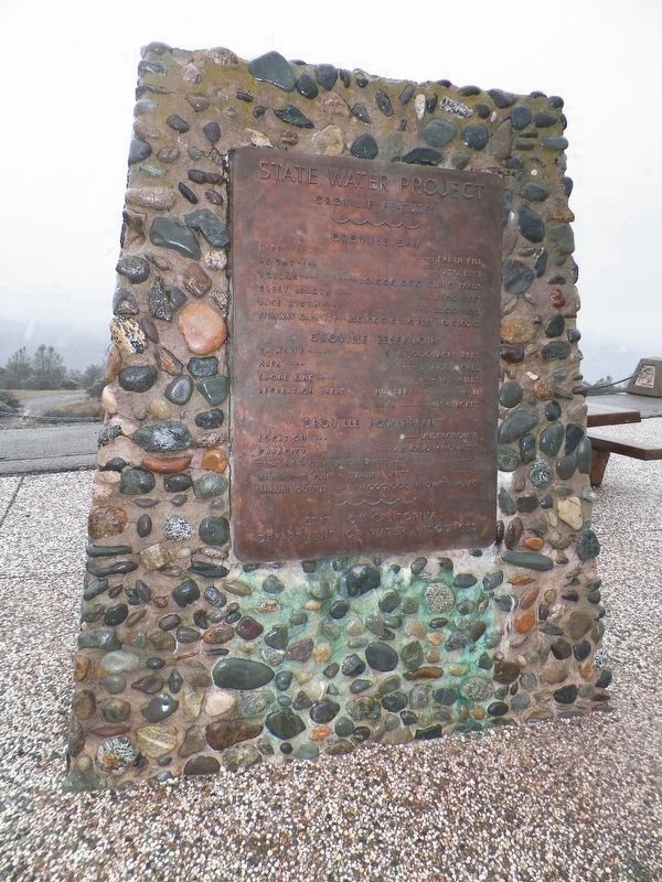
5. More Dam Statistics
Oroville Features
Oroville Dam
Type --Earth Fill
Height--770 feet
Volume--80,000,000 cubic yards
Crest Length--6920 feet
Base Width--3500 feet
Spillway Capacity--650,000 cubic feet per second
Oroville Reservoir
Capacity--3,484,000 acre feet
Area--15,500 acres
Shoreline--167 miles
Recreation Areas---Number--11
---Area--4154 acres
Oroville Power Plant
Location--Underground
Capacity--615,000 kilowatts
Turbine Generator Units--3
Reversible Pump Turbine Units--3
Annual Output--2,191,000,000 kilowatt hours
STATE OF CALIFORNIA
DEPARTMENT OF WATER RESOURCES
Credits. This page was last revised on May 26, 2022. It was originally submitted on February 19, 2017, by James King of San Miguel, California. This page has been viewed 609 times since then and 27 times this year. Photos: 1, 2, 3, 4, 5, 6. submitted on February 19, 2017, by James King of San Miguel, California. • Syd Whittle was the editor who published this page.
Editor’s want-list for this marker. Photo of the dam. • Clear readable photo of - "More Dam Statistics" • Clear readable photo of - "A Sackful of Sand and Gravel" • Can you help?
