Columbus in Muscogee County, Georgia — The American South (South Atlantic)
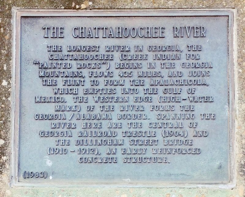
The Chattahoochee River
Chattahoochee (Creek Indian for
"Painted Rocks") begins in the Georgia
mountains, flows 435 miles, and joins
the Flint to form the Apalachicola,
which empties into the Gulf of
Mexico. The western edge (high-water
mark) of the river forms the
Georgia/Alabama border. Spanning the
river here are the Central of
Georgia railroad trestle (1904) and
the Dillingham Street Bridge
(1910 - 1912), an early reinforced
concrete structure.
Erected 1983.
Topics. This historical marker is listed in these topic lists: Bridges & Viaducts • Railroads & Streetcars • Waterways & Vessels.
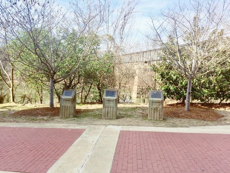
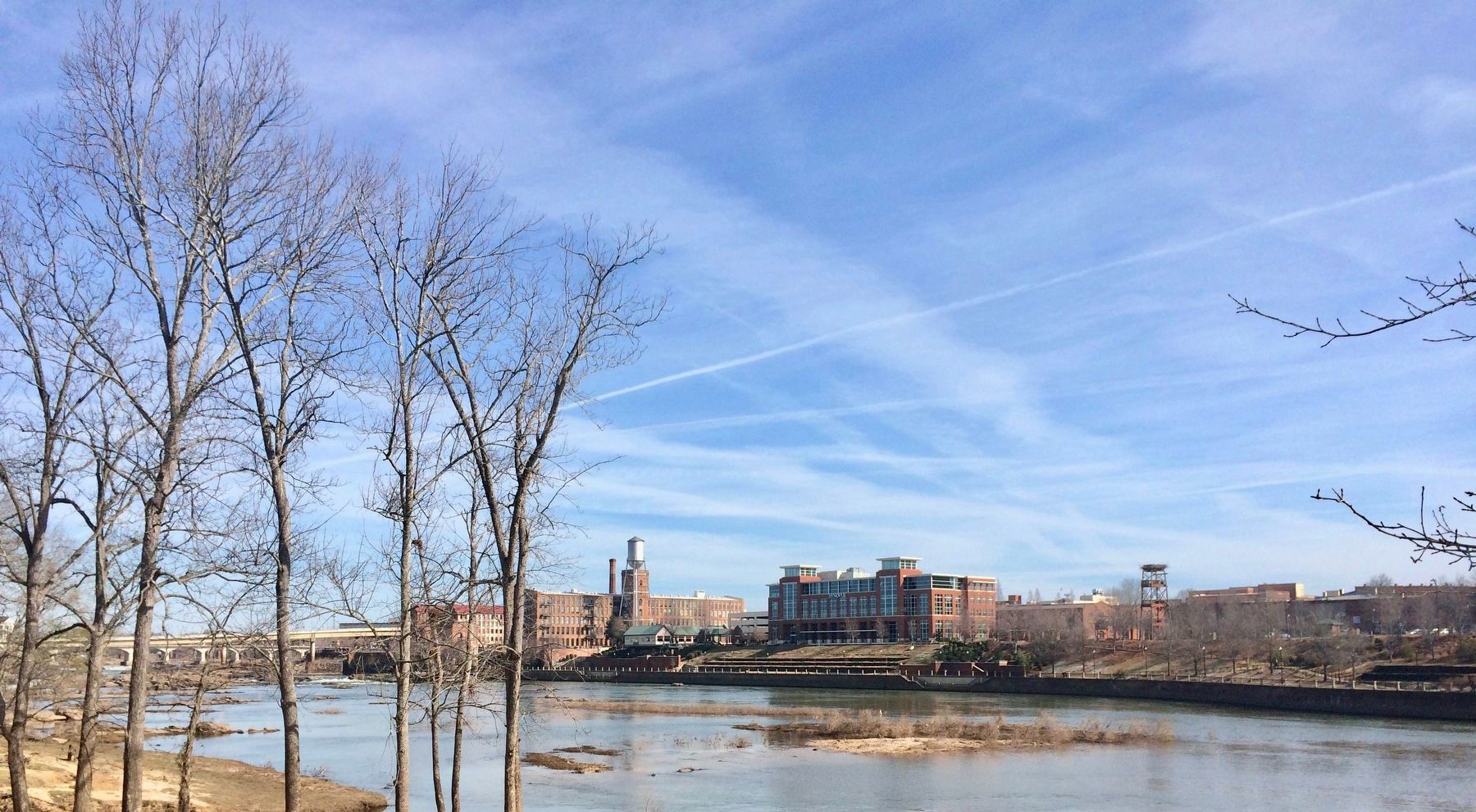
Location. 32° 27.724′ N, 84° 59.801′ W. Marker is in Columbus, Georgia, in Muscogee County. Marker can be reached from Bay Avenue south of West 9th Street. Located on the Chattahoochee Riverwalk behind the Columbus Convention & Trade Center (former location of the Columbus Iron Works). Touch for map. Marker is at or near this postal address: Bay Avenue, Columbus GA 31901, United States of America. Touch for directions.
Other nearby markers. At least 8 other markers are within walking distance of this marker. Columbus Iron Works (here, next to this marker); River Commerce (here, next to this marker); a different marker also named Columbus Iron Works (about 500 feet away, measured in a direct line); Horace King (about 500 feet away); Columbus Steamboat Wharf (about 500 feet away); Empire Mills (about 700 feet away); Military Service Walk (approx. 0.2 miles away); Garrett and Sons / Cargill-Wright Company (approx. 0.2 miles away). Touch for a list and map of all markers in Columbus.
Also see . . . Wikipedia article on the Chattahoochee River. (Submitted on February 23, 2017, by Mark Hilton of Montgomery, Alabama.)
Credits. This page was last revised on February 23, 2017. It was originally submitted on February 23, 2017, by Mark Hilton of Montgomery, Alabama. This page has been viewed 305 times since then and 19 times this year. Photos: 1, 2, 3, 4. submitted on February 23, 2017, by Mark Hilton of Montgomery, Alabama.


