Urban Core in Jacksonville in Duval County, Florida — The American South (South Atlantic)
Second Missionary Baptist Church of LaVilla
Inscription.
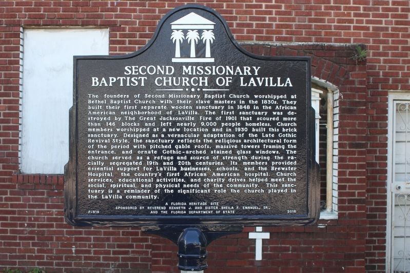
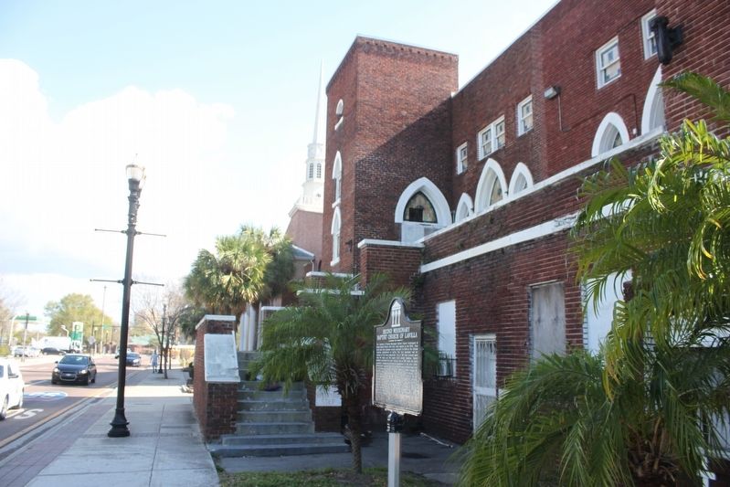
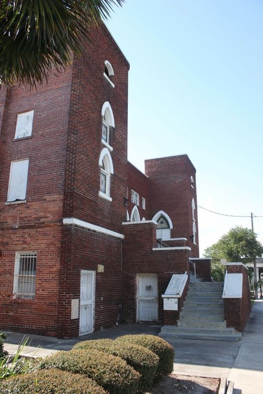
The founders of Second Missionary Baptist Church worshipped at Bethel Baptist Church with their slaves masters in the 1830s. They built their first separate wooden sanctuary in 1848 in the African American neighborhood of LaVilla. The first sanctuary was destroyed by The Great Jacksonville Fire of 1901 that scoured more than 146 blocks and left nearly 9,000 people homeless. Church members worshipped at a new location and in 1930 built this brick sanctuary. Designed as a vernacular adaptation of the Late Gothic Revival Style, the sanctuary reflects the religious architectural form of the period with pitched gable roofs, massive towers framing the entrance, and ornate Gothic-arched stained glass windows. The church served as a refuge and source of strength during the racially segregated 19th and 20th centuries. Its members provided essential support for LaVilla businesses, schools, and the Brewster Hospital, the county's first African American hospital. Church services, educational activities, and charity drives helped meet the social, spiritual, and physical needs of the community. This sanctuary is a reminder of the significant role the church played in the LaVilla community.
Erected 2016 by Reverend Kenneth J. and Sister Sheila F. Emanuel, Sr., and the Florida Department of State. (Marker Number F-919.)
Topics. This historical marker is listed in these topic lists: African Americans • Churches & Religion • Settlements & Settlers. A significant historical year for this entry is 1848.
Location. 30° 20.188′ N, 81° 40.093′ W. Marker is in Jacksonville, Florida, in Duval County. It is in Urban Core. Marker is at the intersection of Kings Road (U.S. 23) and North Davis Street, on the right when traveling east on Kings Road. Touch for map. Marker is at or near this postal address: 954 Kings Road, Jacksonville FL 32204, United States of America. Touch for directions.
Other nearby markers. At least 8 other markers are within walking distance of this marker. St. Joseph Missionary Baptist Church (approx. 0.4 miles away); Old Brewster Hospital (approx. 0.4 miles away); "Old Stanton" High School (approx. 0.4 miles away); Fort Hatch (approx. 0.4 miles away); John Rosamond Johnson (approx. half a mile away); Jefferson Street Pool (approx. half a mile away); James Weldon Johnson (approx. half a mile away); T. V. Porter House (approx. 0.6 miles away). Touch for a list and map of all markers in Jacksonville.
Credits. This page was last revised on February 3, 2023. It was originally submitted on March 1, 2017, by Tim Fillmon of Webster, Florida. This page has been viewed 643 times since then and 43 times this year. Photos: 1, 2, 3. submitted on March 1, 2017, by Tim Fillmon of Webster, Florida. • Bernard Fisher was the editor who published this page.


