Zona Centro in San Francisco de Campeche in Campeche, Mexico — The Southeast (Yucatan Peninsula)
Campeche Library
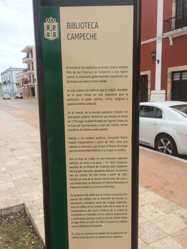
Biblioteca Campeche
Al instalarse los españoles en el año 1540 y nombrar Villa de San Francisco de Campeche a esta región, cambia la estructura gubernamental establecida por los mayas, así como su traza urbana.
De esta manera los edificios que se erigían alrededor de la plaza serían los más relevantes para la población; el poder político, militar, religioso y posteriormente comercial.
En el interior de la muralla quedaron situados los principales poderes. Dentro los que destaca el anexo en 1779 según el plano firmado por Agustín Crame, de la Casa del Ayuntamiento, o Casa del Cabildo, siendo el edificio de máximo poder político.
Debido a los cambios políticos, Campeche Nuevo Estado Independiente a partir de 1857, tiene que cambiar su estructura, por lo que el Palacio Municipal que era la autoridad máxima en la ciudad se modifica.
Con el título de ciudad se hace necesario implantar edificios en torno a la plaza, y en 1858 Campeche necesita de un Palacio de Gobierno para establecer allí el poder ejecutivo, quedando ubicado a la derecha del eje central. De esta forma, a partir de 1962 termina el ciclo de la ciudad colonial para dar paso a una modernista; se demuelen el Palacio Municipal, el Palacio de Gobierno y la Aduana Marítima.
Es durante el año 2000 que se inicia la reconstrucción parcial del edificio con la intención de rescatar su estructura y recuperar parte del antiguo esplendor; esta se edifica en el costado norte de la plaza de la independencia del centro histórico de la ciudad de Campeche, un inmueble con las mismas proporciones y dimensiones del que ocupó la casa de cabildo desde el siglo XVIll y en junio de 2003 el espacio se habilita como la Biblioteca Campeche.
En 2014 se continúan los trabajos de recuperación del edificio hasta alcanzar sus dimensiones originales.
English:
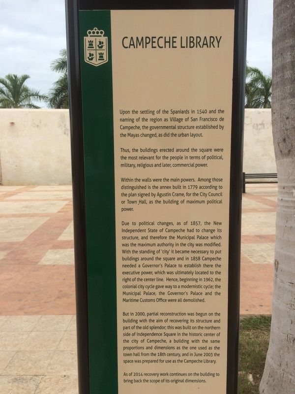
Campeche Library
Upon the settling of the Spaniards in 1540 and the naming of the region as Village of San Francisco de Campeche, the governmental structure established by the Mayas changed, as did the urban layout.
Thus, the buildings erected around the square were the most relevant for the people in terms of political military, religious and later, commercial power.
Within the walls were the main powers. Among those distinguished is the annex built in 1779 according to the plan signed by Agustín Crame, for the City Council or Town Hall, as the building of maximum political power.
Due to political changes, as of 1857, the New Independent State of Campeche had to change its structure, and therefore the Municipal Palace which was the maximum authority in the city was modified. With the standing of ‘city' it became necessary to put buildings around the square and in 1858 Campeche needed a Governor's Palace to establish there the executive power, which was ultimately located to the right of the center line. Hence, beginning in 1962, the colonial city cycle gave way to a modernistic cycle; the Municipal Palace, the Governor's Palace and the Maritime Customs Office were all demolished.
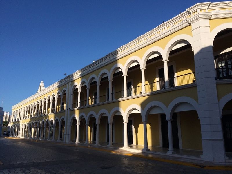
But in 2000, partial reconstruction was begun on the building with the aim of recovering its structure and part of the old splendor; this was built on the northern side of Independence Square in the historic center of the city of Campeche, a building with the same proportions and dimensions as the one used as the town hall from the 18th century, and in June 2003 the space was prepared for use as the Campeche Library.
As of 2014 recovery work continues on the building to bring back the scope of its original dimensions.
Topics and series. This historical marker is listed in these topic lists: Architecture • Colonial Era • Man-Made Features. In addition, it is included in the UNESCO World Heritage Sites series list. A significant historical month for this entry is June 2003.
Location. 19° 50.8′ N, 90° 32.207′ W. Marker is in San Francisco de Campeche, Campeche. It is in Zona Centro. Marker is on Calle 8, on the left when traveling east. The
Photographed By J. Makali Bruton, January 9, 2017
3. Campeche Library Marker
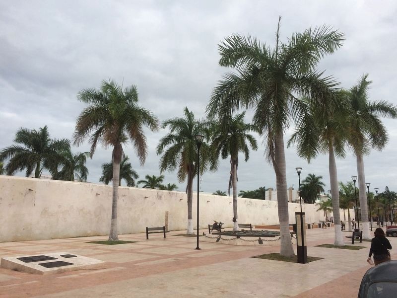
The marker is seen here to the east of the reconstructed Campeche Library and Cultural Center, near this park along the northern wall of the city. To the left are various UNESCO World Heritage Site markers. To the right is a bronze map of the walled city of Campeche.
Other nearby markers. At least 8 other markers are within walking distance of this marker. "La Española" Chapel (within shouting distance of this marker); "The Palace" Cultural Center (about 90 meters away, measured in a direct line); The Birthplace of Justo Sierra Méndez (about 90 meters away); Bastion of Our Lady of Solitude (about 120 meters away); Independence Square (about 120 meters away); Pedro Sainz de Baranda y Borreyro (about 150 meters away); Gate to the Sea (about 180 meters away); Temple of the Sweet Name of Jesus (about 210 meters away). Touch for a list and map of all markers in San Francisco de Campeche.
Photographed By J. Makali Bruton, January 9, 2017
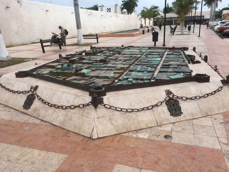
5. Nearby bronze map of the walled city of Campeche.
This map depicts Campeche as it looked during the colonial period when it was completely encircled by a protective wall. It was inaugurated in September 2012 and was the work of Pablo Rafael López Artasánchez from Puebla de los Ángeles.
Photographed By J. Makali Bruton, January 9, 2017
7. A nearby, additional UNESCO World Heritage Site marker
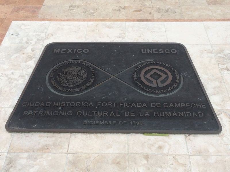
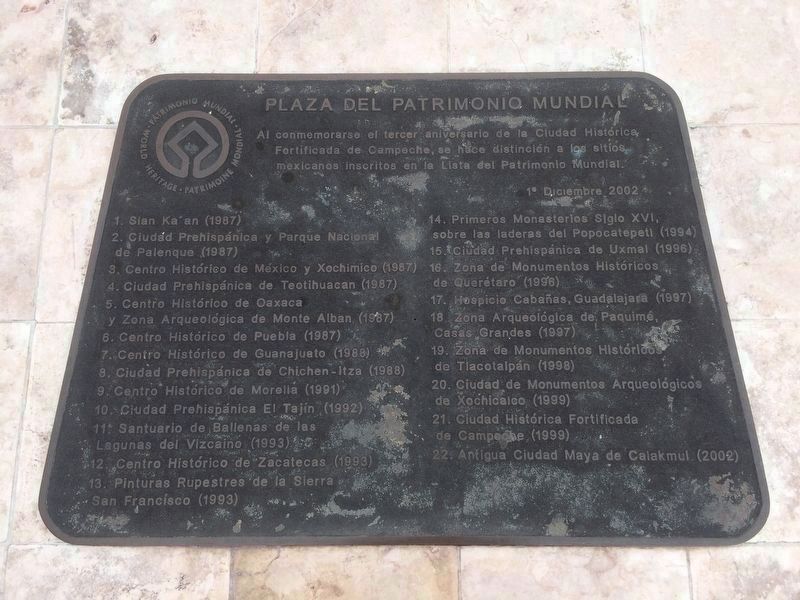
Near the featured marker is this additional marker which celebrates the third anniversary of Campeche being named as a UNESCO World Heritage Site on December 1, 2002. It includes a list of all of the 22 World Heritage Sites in Mexico at the time of the marker’s dedication. The third, smaller marker on this same base indicates that the State Government of Campeche from the period 1997-2003 placed this monument. It reads:
Plaza del Patrimonio Mundial
Al conmemorarse el tercer aniversario de la Ciudad Histórica Fortificada de Campeche, se hace distinción a los sitio mexicanos inscritos en la Lista del Patrimonio Mundial. 1ª Diciembre 2002
1. Sian Ka’an (1987) · 2. Ciudad Prehispánica y Parque Nacional de Palenque (1987) · 3. Centro Histórico de México y Xochimico (1987) · 4. Ciudad Prehispánica de Teotihuacan (1987) · 5. Centro Histórico de Oaxaca y Zona Arqueológico de Monte Alban (1987) · 6. Centro Histórico de Puebla (1987) · 7. Centro Histórico de Guanajuato (1988) · 8. Ciudad Prehispánica de Chichen-Itza (1988) · 9. Centro Histórico de Morelia (1991) · 10. Ciudad Prehispánica El Tajín (1992) · 11. Santuario de Ballenas de las Lagunas de Vizcaino (1993) · 12. Centro Histórico de Zacatecas (1993) · 13. Pinturas Rupestres de la Sierra San Francisco (1993) · 14. Primeros Monasterios Siglo XVI, sobre las laderas del Popacatepetl (1994) · 15. Ciudad Prehispánica de Uxmal (1996) · 16. Zona de Monumentos Históricos de Querétaro (1996) · 17. Hospicio Cabañas, Guadalajara (1997) · 18. Zona Arqueológica de Paquimé, Casas Grandes (1997) · 19. Zona de Monumentos Históricos de Tlacotalpán (1998) · 20. Ciudad de Monumentos Arqueológicos de Xochicalco (1999) · 21. Ciudad Histórica Fortificada de Campeche (1999) · 22. Antigua Ciudad Maya de Calakmul (2002)
Credits. This page was last revised on April 29, 2017. It was originally submitted on March 4, 2017, by J. Makali Bruton of Accra, Ghana. This page has been viewed 325 times since then and 26 times this year. Photos: 1, 2, 3, 4, 5, 6, 7. submitted on March 4, 2017, by J. Makali Bruton of Accra, Ghana.
