Valladolid, Yucatán, Mexico — The Southeast (Yucatan Peninsula)
The Crime of the Mayors
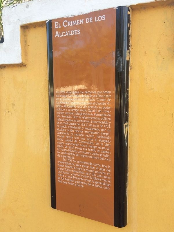
El Crimen de los Alcaldes
En 1705, esta iglesia fue demolida por orden del obispo Don Pedro de los Reyes Ríos a raíz de su profanación en el llamado “Crimen de los Alcaldes”; evento en el cual el Capitán Hipólito de Osorno, una vez perdido su poder político y su amigo Pedro Gabriel de Covarrubias, deciden refugiarse en la Parroquia de San Servacio. Pero la efervescencia política había llegado a una situación incontrolable y en la madrugada del día 12 de julio de 1703, el pueblo enardecido y encabezado por los alcaldes recién electos irrumpieron inexplicadamente el sagrado recinto, recibiendo mortal herida con una lanza el abogado Pedro Gabriel de Covarrubias, en el en el altar mayor, manchando con su sangre el ara sagrada, de igual forma fue herido el capitán Fernando Hipólito de Osorno, quien se hallaba oculto detrás del órgano musical del coro de la parroquia.
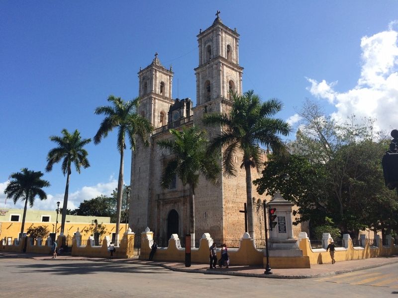
En 1706 fue reconstruida como hoy la contemplamos, para evitar que el altar del nuevo templo tuviera la misma posición en la que fuera mancillado, se le dio una nueva orientación y por tal motivo la iglesia mira al Norte y no al Poniente como la generalidad de los templos yucatecos de la época colonial, que miran a Roma.
English translation:
The Crime of the Mayors
In 1705, this church was demolished by order of the Bishop Pedro de los Reyes Ríos because of its desecration during the event known as the "Crime of the Mayors." Captain Hipólito de Osorno, once he had lost his political power, together with his friend Pedro Gabriel de Covarrubias, decided to take refuge in the Parish Church of San Servacio. However, the political excitement of the time had reached an uncontrollable situation and in the early hours of July 12, 1703, a frenzied mob, led by the newly elected mayors of the town, unexpectedly broke into the sacred enclosure. The lawyer Pedro Gabriel de Covarrubias was mortally wounded by a spear, staining with his blood the holy altar. Likewise Captain Fernando Hipólito de Osorno was also wounded after he was found by the mob hidden behind the musical organ of the parish choir.
In 1706 the church was rebuilt as we see it today. In order to avoid that the altar of the new temple had the same position in which it was desecrated, it was given a new orientation. For that reason the church looks towards the north and not to the west, towards Rome, like the majority of the Catholic churches of the colonial era in Yucatán.
Topics. This historical marker is listed in these topic lists: Churches & Religion • Government & Politics • Man-Made Features. A significant historical date for this entry is July 12, 1703.
Location. 20° 41.372′ N, 88° 12.119′
W. Marker is in Valladolid, Yucatán. Marker is on Calle 41 just west of Calle 42, on the right when traveling east. The marker is to the left of the middle entry gate of the church. Touch for map. Marker is in this post office area: Valladolid YU 97780, Mexico. Touch for directions.
Other nearby markers. At least 8 other markers are within walking distance of this marker. Church of San Servacio (a few steps from this marker); The Author of “Ojos Tristes” (Sad Eyes) (within shouting distance of this marker); Centralist Federalist War (within shouting distance of this marker); Francisco Cantón Rosado Park (about 120 meters away, measured in a direct line); The Catholic Parsonage of Valladolid (about 150 meters away); Regional Artisans' Center “Zací” (about 150 meters away); The Valladolid Artisans' Market (about 210 meters away); Birth House of Delio Moreno Cantón (approx. 0.2 kilometers away). Touch for a list and map of all markers in Valladolid.
Credits. This page was last revised on March 5, 2017. It was originally submitted on March 5, 2017, by J. Makali Bruton of Accra, Ghana. This page has been viewed 1,399 times since then and 320 times this year. Photos: 1, 2. submitted on March 5, 2017, by J. Makali Bruton of Accra, Ghana.

