New Smyrna Beach in Volusia County, Florida — The American South (South Atlantic)
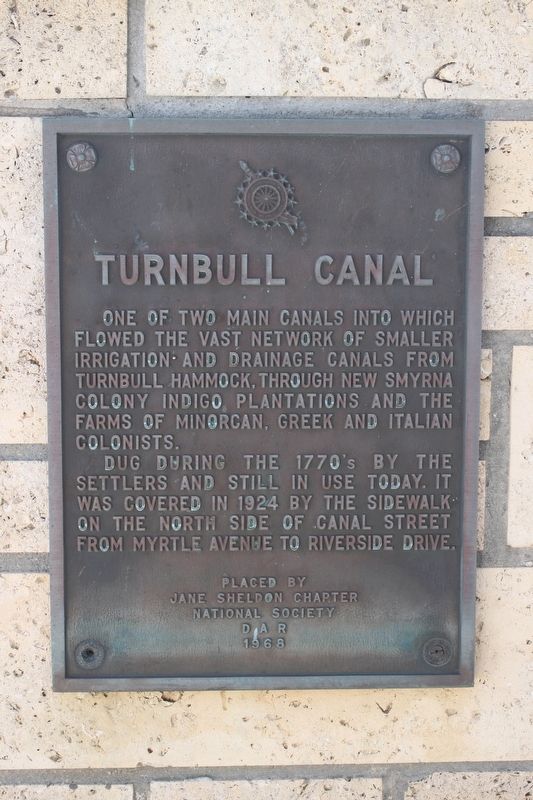
Turnbull Canal
Dug during the 1770's by the settlers and still in use today. It was covered in 1924 by the sidewalk on the north side of Canal Street from Myrtle Avenue to Riverside Drive.
Erected 1968 by Jane Sheldon Chapter National Society D.A.R.
Topics and series. This historical marker is listed in these topic lists: Agriculture • Colonial Era • Settlements & Settlers • Waterways & Vessels. In addition, it is included in the Daughters of the American Revolution series list.
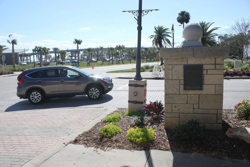
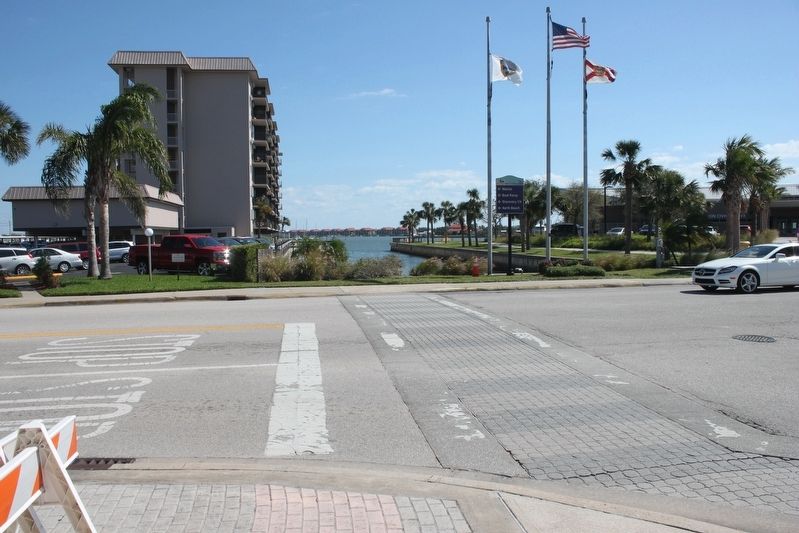
Location. 29° 1.541′ N, 80° 55.264′ W. Marker is in New Smyrna Beach, Florida, in Volusia County. Marker is at the intersection of North Riverside Drive and Canal Street, on the right when traveling south on North Riverside Drive. Marker is on short pillar on the corner. Touch for map. Marker is at or near this postal address: 101 Canal Street, New Smyrna Beach FL 32168, United States of America. Touch for directions.
Other nearby markers. At least 8 other markers are within walking distance of this marker. Emory L. Bennett Park (about 300 feet away, measured in a direct line); New Smyrna Museum Of History (about 400 feet away); The New Smyrna Odyssey (about 500 feet away); 1768 British Colony of New Smyrna (about 500 feet away); Anniversary of Shelling by Union Gunboats (about 500 feet away); PFC Emory L. Bennett (about 600 feet away); Supreme Sacrifice (about 600 feet away); Site of Sheldon's New Smyrna Hotel (about 600 feet away). Touch for a list and map of all markers in New Smyrna Beach.
Credits. This page was last revised on August 19, 2020. It was originally submitted on March 5, 2017, by Tim Fillmon of Webster, Florida. This page has been viewed 621 times since then and 24 times this year. Photos: 1, 2, 3. submitted on March 5, 2017, by Tim Fillmon of Webster, Florida. • Bernard Fisher was the editor who published this page.


