Valladolid, Yucatán, Mexico — The Southeast (Yucatan Peninsula)
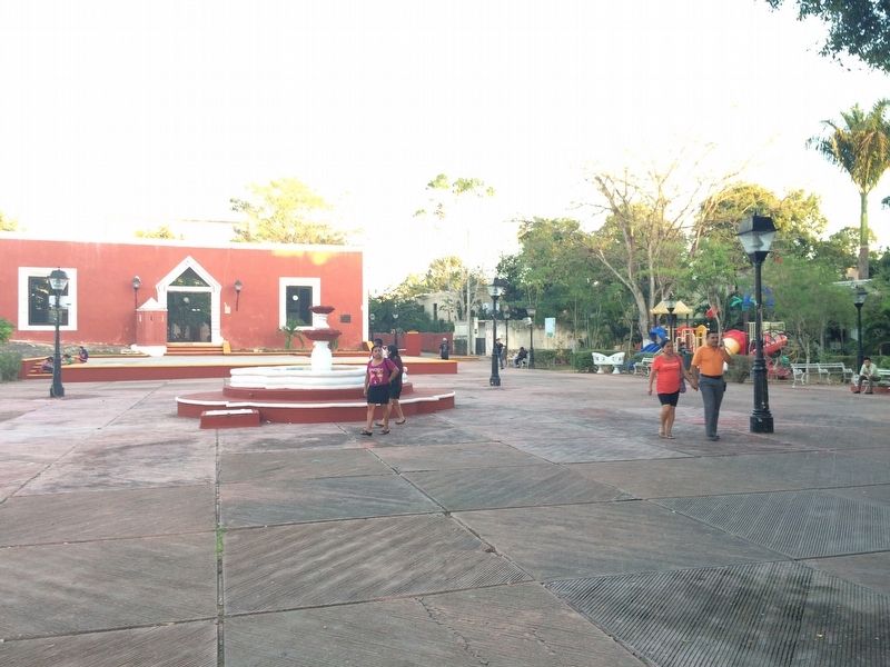
Park of the Neighborhood of the Candelaria
Inscription.
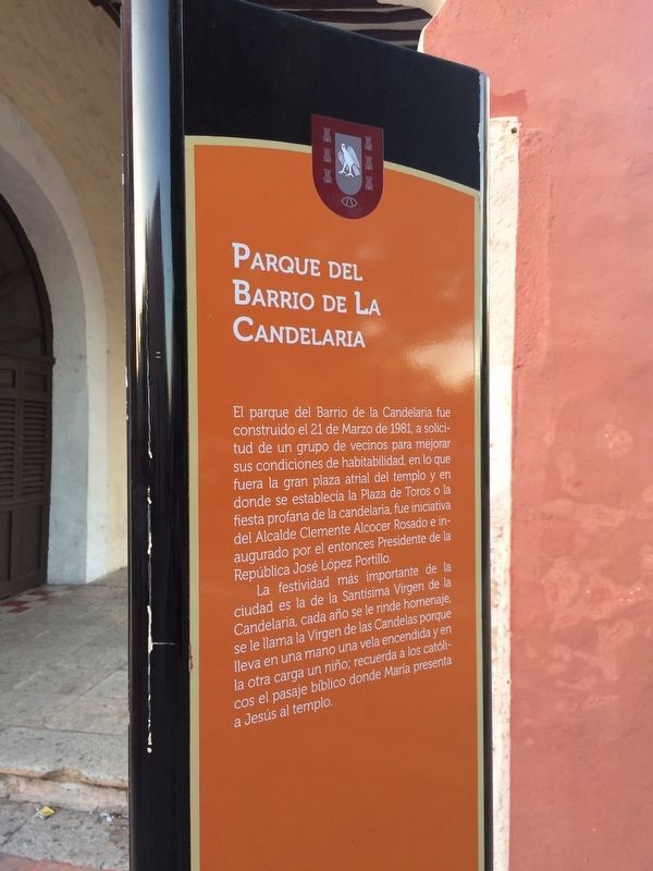
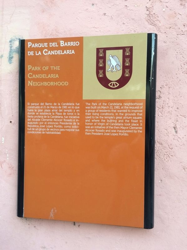
Parque del Barrio de La Candelaria
El parque del Barrio de la Candelaria fue construido el 21 de Marzo de 1981, a solicitud de un grupo de vecinos para mejorar sus condiciones de habitabilidad, en lo que fuera la gran plaza atrial del templo y en donde se establecía la Plaza de Toros o la fiesta profana de la candelaria, fue iniciativa del Alcalde Clemente Alcocer Rosado e inaugurado por el entonces Presidente de la República José López Portillo.
La festividad más importante de la ciudad es la de la Santísima Virgen de la Candelaria, cada año se le rinde homenaje, se le llama la Virgen de las Candelas porque lleva en un mano una vela encendida y en la otra carga un niño; recuerda a los católicos el pasaje bíblico donde a María presenta a Jesús al templo.
English:
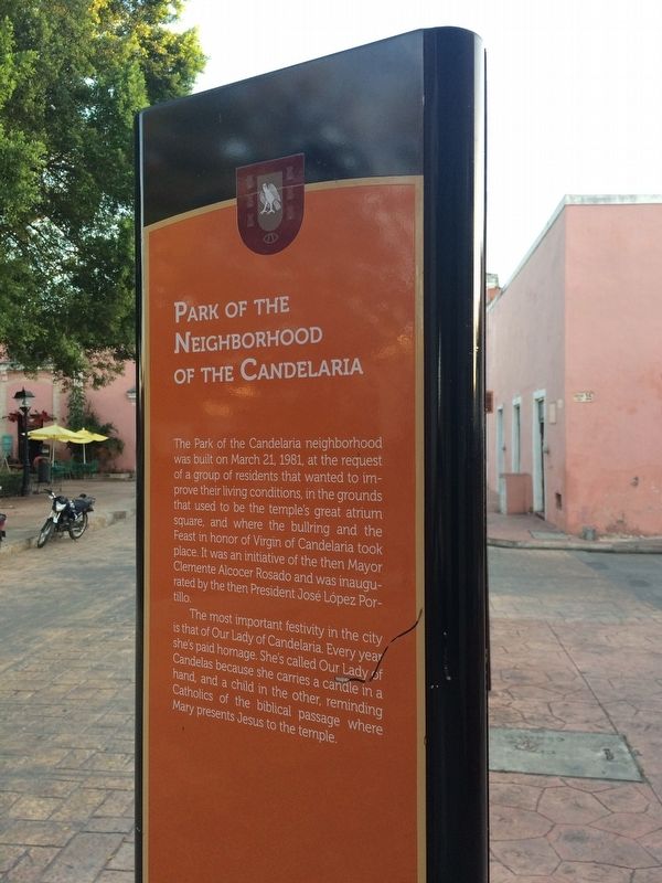
Park of the Neighborhood of the Candelaria
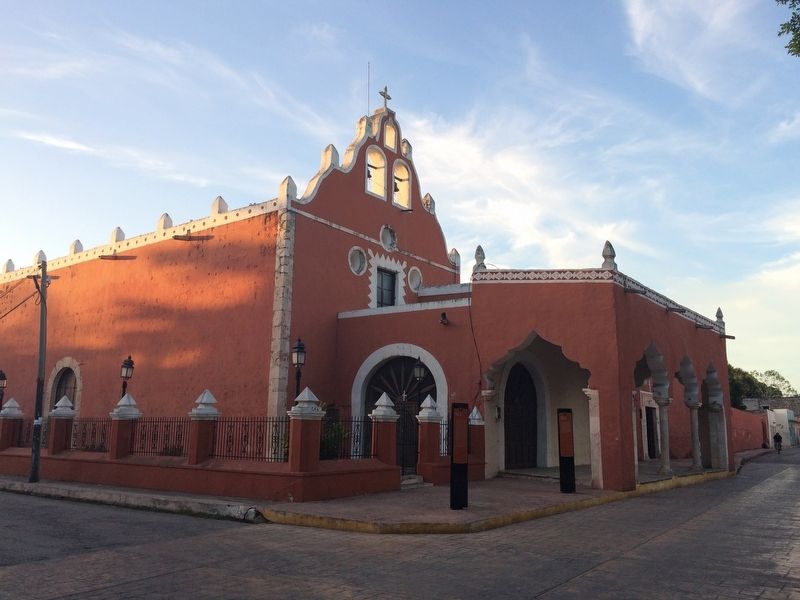
The Park of the Candelaria neighborhood was built on March 21, 1981, at the request of a group of residents that wanted to improve their living conditions, in the grounds that used to be the temple's great atrium square, and where the bullring and the Feast in honor of Virgin of Candelaria took place. It was an initiative of the then Mayor Clemente Alcocer Rosado and was inaugurated by the then President José López Portillo.
The most important festivity in the city is that of Our Lady of Candelaria. Every year she's paid homage. She’s called Our Lady of Candelas because she carries a candle in a hand, and a child in the other, reminding Catholics of the biblical passage where Mary presents Jesus to the temple.
Topics. This historical marker is listed in these topic lists: Churches & Religion • Man-Made Features. A significant historical date for this entry is March 21, 1981.
Location. 20° 41.596′ N, 88° 12.244′ W. Marker is in Valladolid, Yucatán. Marker is on Calle 44, on the left when traveling north. Touch for map. Marker is at or near this postal address: 179 Calle 44, Valladolid YU 97780, Mexico. Touch for directions.
Other nearby markers. At least 8 other markers are within walking distance of this marker. Fiesta de la Candelaria (here, next to this marker); First Steam-Powered Textile Mill (about 120 meters away, measured in a direct line); House of Governor Francisco Canton Rosado (about 180 meters away); Birth House of Delio Moreno Cantón (approx. 0.2 kilometers away); The Valladolid Artisans' Market (approx. 0.3 kilometers away); The Catholic Parsonage of Valladolid (approx. 0.3 kilometers away); Regional Artisans' Center “Zací” (approx. 0.4 kilometers away); Francisco Cantón Rosado Park (approx. 0.4 kilometers away). Touch for a list and map of all markers in Valladolid.
Credits. This page was last revised on March 6, 2017. It was originally submitted on March 5, 2017, by J. Makali Bruton of Accra, Ghana. This page has been viewed 160 times since then and 19 times this year. Photos: 1, 2, 3, 4, 5. submitted on March 6, 2017, by J. Makali Bruton of Accra, Ghana.
