Fisherman's Wharf in San Francisco City and County, California — The American West (Pacific Coastal)
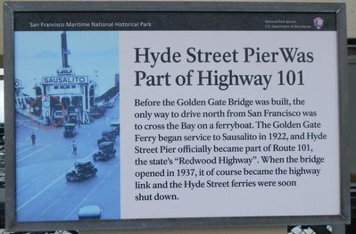
Hyde Street Pier Was Part of Highway 101
Erected by National Park Service.
Topics. This historical marker is listed in these topic lists: Roads & Vehicles • Waterways & Vessels. A significant historical year for this entry is 1922.
Location. 37° 48.55′ N, 122° 25.282′ W. Marker is in San Francisco, California, in San Francisco City and County. It is in Fisherman's Wharf. Marker can be reached from Hyde Street near Jefferson Street, on the right when traveling north. Touch for map. Marker is at or near this postal address: 2950 Hyde Street, San Francisco CA 94109, United States of America. Touch for directions.
Other nearby markers. At least 8 other markers are within walking distance of this marker. Schooner C.A. Thayer (a few steps from this marker); Highway 101 (a few steps from this marker); Paddle Tug Eppleton Hall (within shouting distance of this marker); Why Here? (within shouting distance of this marker); Ship Balclutha (within shouting distance of this marker); The Port in Action (about 300 feet away, measured in a direct line); Sanitation at Sea (about 300 feet away); The Cathead... (about 300 feet away). Touch for a list and map of all markers in San Francisco.
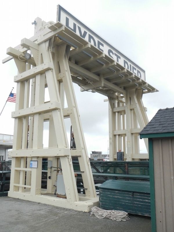
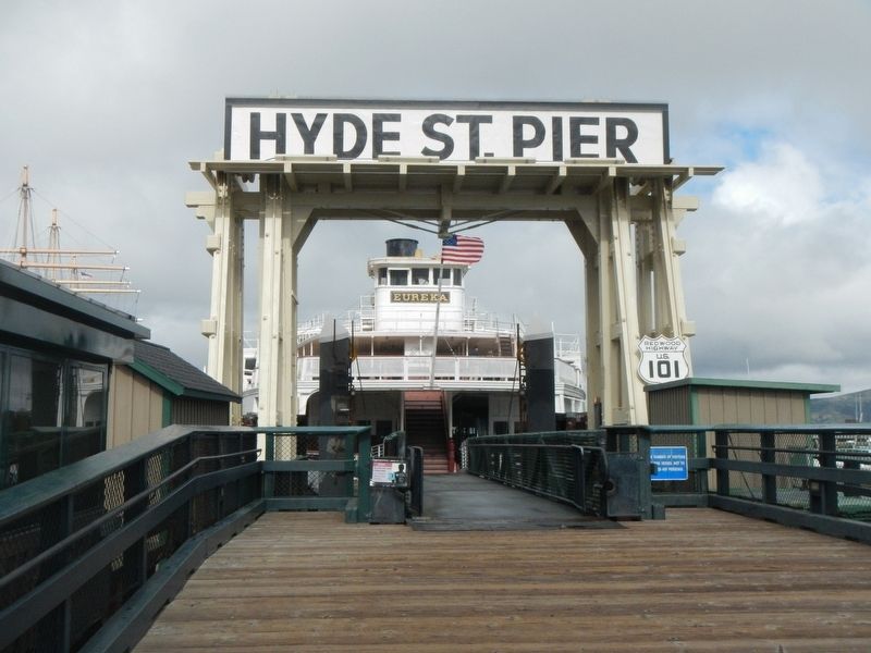
More about this marker. This marker is located near the Eureka loading ramp on the Hyde Street Pier at the San Francisco Maritime Nation Historical Park.
Credits. This page was last revised on February 7, 2023. It was originally submitted on March 9, 2017, by Barry Swackhamer of Brentwood, California. This page has been viewed 302 times since then and 16 times this year. Photos: 1, 2, 3. submitted on March 9, 2017, by Barry Swackhamer of Brentwood, California.


