Norwichtown in New London County, Connecticut — The American Northeast (New England)
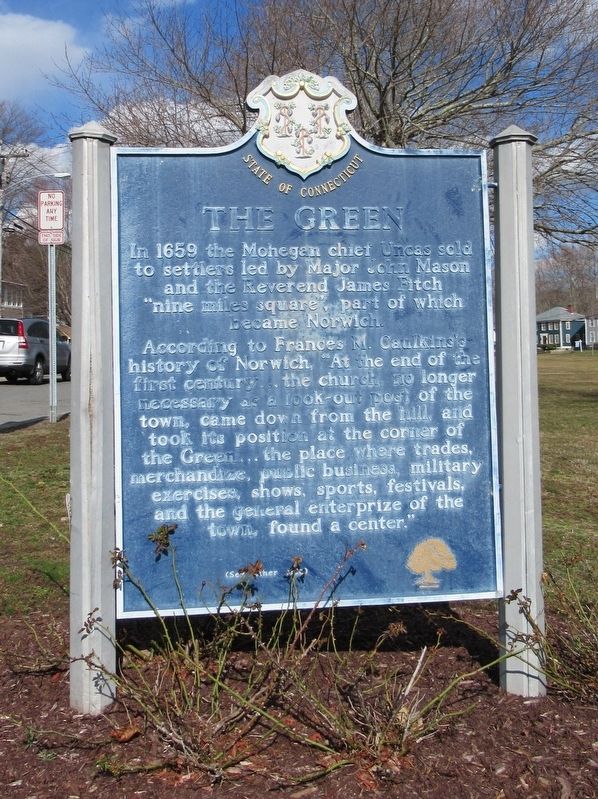
The Green
In 1659 the Mohegan chief Uncas sold to settlers led by Major John Mason and the Reverend James Fitch “nine miles square”, part of which became Norwich.
According to Francis M. Caulkins’s history of Norwich, “At the end of the first century … the church no longer necessary as a look-out post of the town, came down from the hill, and took its position at the corner of the Green … the place where trades, merchandise, public business, military exercises, shows, sports, festivals, and the general entertainment of the town, found a center.”
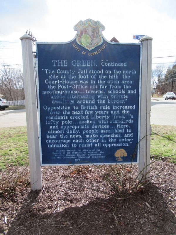
The County Jail stood on the north side at the foot of the hill; the Court-House was in the open area; the Post Office not far from the meeting-house … taverns, schools and shops alternating with private dwellings around the border.”
Opposition to British rule increased over the next few years and the residents erected Liberty Tree, “a lofty pole … decked with standards and appropriate devices … Here, almost daily, people assembled to hear the news, make speeches, and encourage each other in thre determination to resist all oppression.”
Erected 1971 by Society of the Foundation of Norwich, Norwich Historic District Commission, Connecticut Historical Commission.
Topics. This historical marker is listed in these topic lists: Colonial Era • Settlements & Settlers.
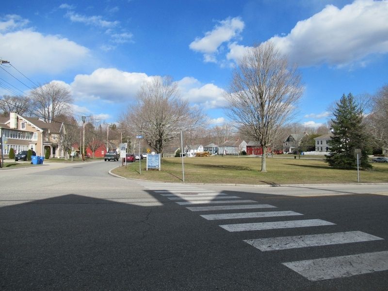
Location. 41° 32.954′ N, 72° 5.727′ W. Marker is in Norwich, Connecticut, in New London County. It is in Norwichtown. Marker is at the intersection of East Town Street and Town Street, on the right when traveling north on East Town Street. Touch for map. Marker is in this post office area: Norwich CT 06360, United States of America. Touch for directions.
Other nearby markers. At least 8 other markers are within one mile of this marker, measured as the crow flies. Norwichtown Green (within shouting distance of this marker); Lowthorpe Meadows (approx. 0.4 miles away); Lathrop Manor (approx. 0.4 miles away); East District School (approx. 0.4 miles away); Leffingwell Inn (approx. half a mile away); Benedict Arnold (approx. ¾ mile away); Veterans Dedication Stone (approx. one mile away); Everlasting Vigilance (approx. one mile away). Touch for a list and map of all markers in Norwich.
Also see . . .
1. Norwichtown on Wikipedia. (Submitted on March 11, 2017, by Michael Herrick of Southbury, Connecticut.)
2. City of Norwich, Connecticut. (Submitted on March 11, 2017, by Michael Herrick of Southbury, Connecticut.)
3. Norwich, Connecticut on Wikipedia. (Submitted on March 11, 2017, by Michael Herrick of Southbury, Connecticut.)
Credits. This page was last revised on June 29, 2023. It was originally submitted on March 11, 2017, by Michael Herrick of Southbury, Connecticut. This page has been viewed 437 times since then and 29 times this year. Photos: 1, 2, 3. submitted on March 11, 2017, by Michael Herrick of Southbury, Connecticut.


