Pisté in Tinum, Yucatán, Mexico — The Southeast (Yucatan Peninsula)
Temple of Xtoloc
Templo del Xtoloc
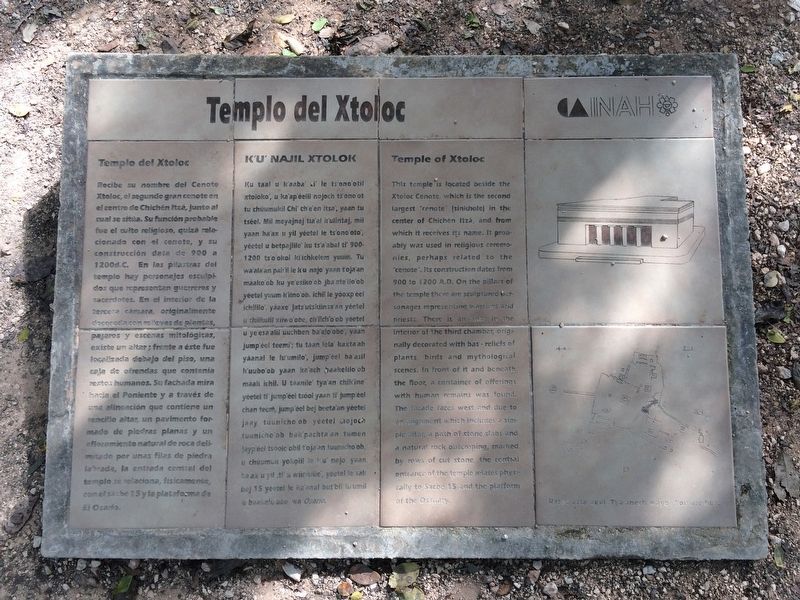
Recibe su nombre del Cenote Xtoloc, el segundo gran cenote en el centro de Chichén Itzá, junto al cual se situa. Su función probable fue el culto religioso, quizá relacionado con el cenote, y su construcción data de 900 a 1200 d.C. En las pilastras del templo hay personajes esculpidos que representan guerreros y sacerdotes. En el interior de la tercera camara, originalmente decorada con relieves de plantas, pájaros y escenas mitológicas, existe un altar; frente a éste fue localizada debajo del piso, una caja de ofrendas que contenía restos humanos. Su fachada mira hacía el Poniente y a través de una alineación que contiene un sencillo altar, un pavimento formado de piedras planas y un afloramiento natural de roca delimitado por unas filas de piedra labrada, la entrada central del templo se relaciona, fisicamente, con el sacbé 15 y la plataforma de El Osario.
Maya-Yucateco:
K’u’ Najil Xtolok
Ku taal u k’aaba’ ti’ le ts’ono’otil xtoloko’, u ka’ap’éelil nojoch ts’ono’ot tu chúumukil Chi’ ch’e’en itsa’, yaan tu tséel. Mii meyajnaj tia’al k'ulintaj, mii yaan ba’ax u yil yéetel le ts’ono’oto’, yéetel u betpajlile' ku ts’a’abal ti’ 900-1200 ts’o’okol ki’ichkelem yuum. Tu wa’ala’an pak’il le k’u najo’ yaan t’oja’an máako’ob ku ye'esiko’ob jba’ate'ilo’ob yéetel yuum k’iino'ob. Ichil le yóoxp’éel ichililo’, yáaxe jats’utskiinsa’an yéetel u chiikulil xiiwo’obe, ch’iich’o’ob yéetel u ye’esa’alil úuchben ba’alo’obe, yaan jump’éel teemi’; tu táan lela’ kaxta’ab yáanal le lu’milo’, jump’éel ba’asil k’uubo’ob yaan ka’ach baakelilo’ob máak ichil. U táanile’ tya'an chik’ine’ yéetel ti’ jump’éel tsóol yaan ti’ jump’éel chan teem, jump’éel bej beeta’an yéetel jaay tuunicho’ob yéetel nojoch tuunicho’ob bak’pachta’an tumen jayp’éel tsóolo’obil t’oja’an tuunicho’ob, u chúumuk yokolil le k’u’ najo yaan ba’ak u yil, ti’ u wiinklile’, yéetel le sak bej 15 yéetel le ka’anal but’bil lu’umil le baakelo’obo’ wa Osario.
English:
Temple of Xtoloc
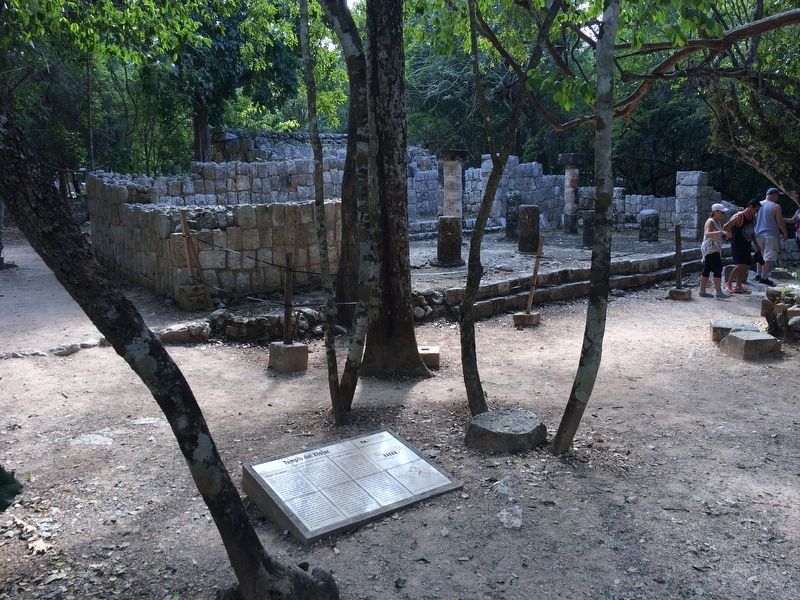
This temple is located beside the Xtoloc Cenote, which is the second largest “cenote” (sinkhole) in the center of Chichén Itzá, and from which it receives its name. It probably was used in religious ceremonies, perhaps related to the "cenote”. Its construction dates from 900 to 1200 A.D. On the pillars of the temple there are sculptured personages representing warriors and priests. There is an altar in the interior of the third chamber, originally decorated with bas-reliefs of plants, birds and mythological scenes. In front of it and beneath the floor a container of offerings with human remains was found. The facade faces west and due to an alignment which includes a simple altar, a path of stone slabs and a natural rock outcroping, marked by rows of cut stone, the central entrance of the temple relates physically to Sacbé 15 and the platform of the Ossuary.
Erected by Instituto Nacional de Antropología e Historia (INAH).
Topics. This historical marker is listed in these topic lists: Anthropology & Archaeology • Architecture • Man-Made Features • Native Americans. A significant historical year for this entry is 1200.
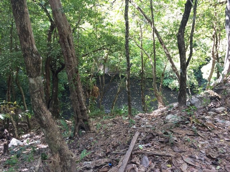
Location. 20° 40.842′ N, 88° 34.131′ W. Marker is in Pisté, Yucatán, in Tinum. Marker can be reached from Carretera Costera de Golfo (Route 180). The marker is at the base of the Xtaloc Temple and just north of the Xtaloc Cenote at the southern section of the Chichén Itzá Archaeological Site. Touch for map. Marker is in this post office area: Pisté YU 97751, Mexico. Touch for directions.
Other nearby markers. At least 8 other markers are within walking distance of this marker. Sacbeob 5 & 15 (a few steps from this marker); Platform of the Tombs (about 150 meters away, measured in a direct line); Platform of Venus and Round Platform (about 180 meters away); The Market (about 180 meters away); The Ossuary or Tomb of the Great Priest (about 210 meters away); The Southeastern Colonnade (approx. 0.2 kilometers away); House of the Grinding Stones & House of the “Mestizas” (approx. 0.2 kilometers away); The Plaza of the Thousand Columns (approx. 0.3 kilometers away). Touch for a list and map of all markers in Pisté.
Credits. This page was last revised on March 12, 2017. It was originally submitted on March 12, 2017, by J. Makali Bruton of Accra, Ghana. This page has been viewed 333 times since then and 22 times this year. Photos: 1, 2, 3. submitted on March 12, 2017, by J. Makali Bruton of Accra, Ghana.


