Jamestown in Tuolumne County, California — The American West (Pacific Coastal)
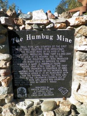
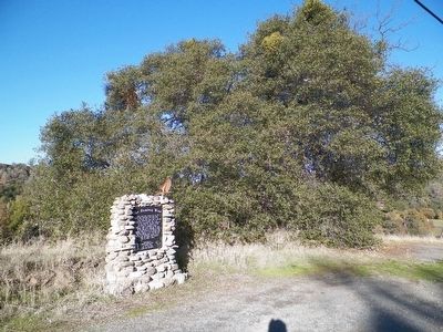
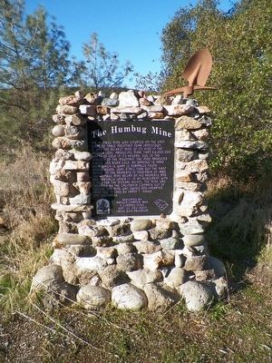
The Humbug Mine
Erected 2012 by Matuca Chapter 1849, E Clampus Vitus.
Topics and series. This historical marker is listed in these topic lists: Natural Resources • Notable Places. In addition, it is included in the E Clampus Vitus series list. A significant historical month for this entry is November 1880.
Location. 37° 58.078′ N, 120° 26.186′ W. Marker is in Jamestown, California, in Tuolumne County. Marker is on Rawhide Road, 1.2 miles north of Route 108, on the right when traveling north. Touch for map. Marker is in this post office area: Jamestown CA 95327, United States of America. Touch for directions.
Other nearby markers. At least 8 other markers are within 2 miles of this marker, measured as the crow flies. Red Light District (approx. 1.2 miles away); 75 Pound Nugget (approx. 1.2 miles away); The Willow (approx. 1.2 miles away); Jamestown Branch Jail (approx. 1.2 miles away); Community Hall / Jamestown Justice Court (approx. 1.2 miles away); Rocca Park (approx. 1.2 miles away); Jamestown (approx. 1.3 miles away); Ramirez – Preston Building (approx. 1.3 miles away). Touch for a list and map of all markers in Jamestown.
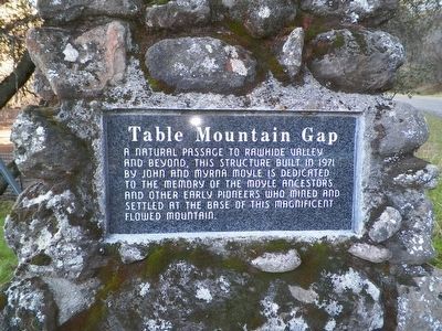
Photographed By James King, November 28, 2015
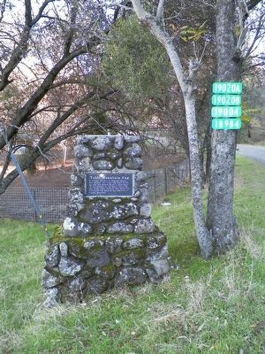
4. Table Mountain Gap Marker
A natural passage to Rawhide Valley and beyond. This structure built in 1971 by John and Myrna Moyle is dedicated to the memory of the Moyle ancestors and other early pioneers who mined and settled at the base of this magnificent flowed mountain
Credits. This page was last revised on March 21, 2017. It was originally submitted on March 5, 2016, by James King of San Miguel, California. This page has been viewed 779 times since then and 65 times this year. Last updated on March 19, 2017, by James King of San Miguel, California. Photos: 1, 2, 3, 4, 5. submitted on March 5, 2016, by James King of San Miguel, California. • Syd Whittle was the editor who published this page.
