Lee Hall in Newport News, Virginia — The American South (Mid-Atlantic)
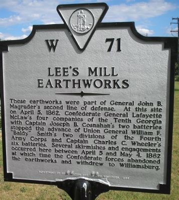
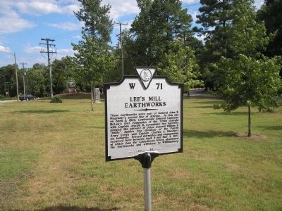
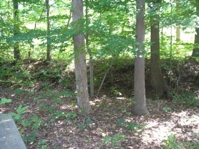
Lee’s Mill Earthworks
Erected 1986 by Department of Conservation and Historic Resources. (Marker Number W-71.)
Topics and series. This historical marker is listed in this topic list: War, US Civil. In addition, it is included in the Virginia Department of Historic Resources (DHR) series list. A significant historical month for this entry is April 1864.
Location. 37° 10.173′ N, 76° 33.834′ W. Marker is in Newport News, Virginia. It is in Lee Hall. Marker is at the intersection of Warwick Blvd. (U.S. 60) and Lees Mill Drive, on the right when traveling east on Warwick Blvd.. Touch for map. Marker is in this post office area: Newport News VA 23608, United States of America. Touch for directions.
Other nearby markers. At least 8 other markers are within walking distance of this marker. Lee’s Mill (approx. 0.3 miles away); Battle of Lee’s Mill (approx. 0.3 miles away); The Warwick River (approx. 0.4 miles away); Fortification Design (approx. 0.4 miles away); The Warwick-Yorktown Line (approx. 0.4 miles away); Union Occupation (approx. 0.4 miles away); a different marker also named The Battle of Lee’s Mill (approx. 0.4 miles away); Mulberry Point (approx. half a mile away). Touch for a list and map of all markers in Newport News.
More about this marker. McLaws's is misspelled on the marker.
Also see . . . The Peninsula Campaign of 1862. (Submitted on August 13, 2008, by Bill Coughlin of Woodland Park, New Jersey.)
Credits. This page was last revised on February 1, 2023. It was originally submitted on August 13, 2008, by Bill Coughlin of Woodland Park, New Jersey. This page has been viewed 1,742 times since then and 41 times this year. Last updated on April 21, 2021, by Bradley Owen of Morgantown, West Virginia. Photos: 1, 2, 3. submitted on August 13, 2008, by Bill Coughlin of Woodland Park, New Jersey. • Bill Pfingsten was the editor who published this page.


