Kemptville in Leeds and Grenville United Counties, Ontario — Central Canada (North America)
Prescott Street Bridge
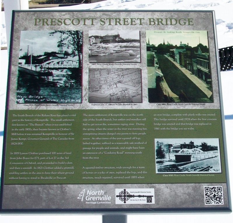
In 1819 Lyman Clothier purchased 100 acres of land from John Boyce for £75, part of Lot 27 in the 3rd Concession of Oxford, and proceeded to build a dam and then a sawmill. In 1821 Clothier added a gristmill, enabling settlers in the area to have their wheat ground without having to travel to Brockville or Prescott.
The main settlement of Kemptville was on the north side of the South Branch, but settlers and travellers still had to get across the, sometimes raging, river. During the spring, when the water in the river was running fast, enterprising citizens charged one penny to ferry people across. At other times of the year squared off logs, lashed together, sufficed as a reasonably safe method of passage for people and animals, and might have been an extension of a "Corduroy Road" running south from the river.
A squared timber structure, wide enough for a team of horses or a yoke of oxen, replaced the logs, and this structure, much repaired, survived until 1885 when an iron bridge, complete with plank walks was erected. This bridge survived until 1928 when the first concrete bridge was erected and that bridge was replaced in 1961 with the bridge you see today.
[Photo captions, from top left]
New Bridge, Prince of Wales Highway
Circa 1930. Photo Credit: North Grenville Historical Society
[Iceflow] 1907. Photo Credit: North Grenville Historical Society
[Map] Registered plan 11, surveyed by John Burchill in 1862
Prescott St. looking South, Kemptville, Can.
Circa 1900. Photo Credit: North Grenville Historical Society
Kemptville Bridge Looking South West
Photo Credit: North Grenville Historical Society
Erected by North Grenville Heritage Committee and North Grenville Historical Society.
Topics. This historical marker is listed in these topic lists: Bridges & Viaducts • Man-Made Features. A significant historical year for this entry is 1819.
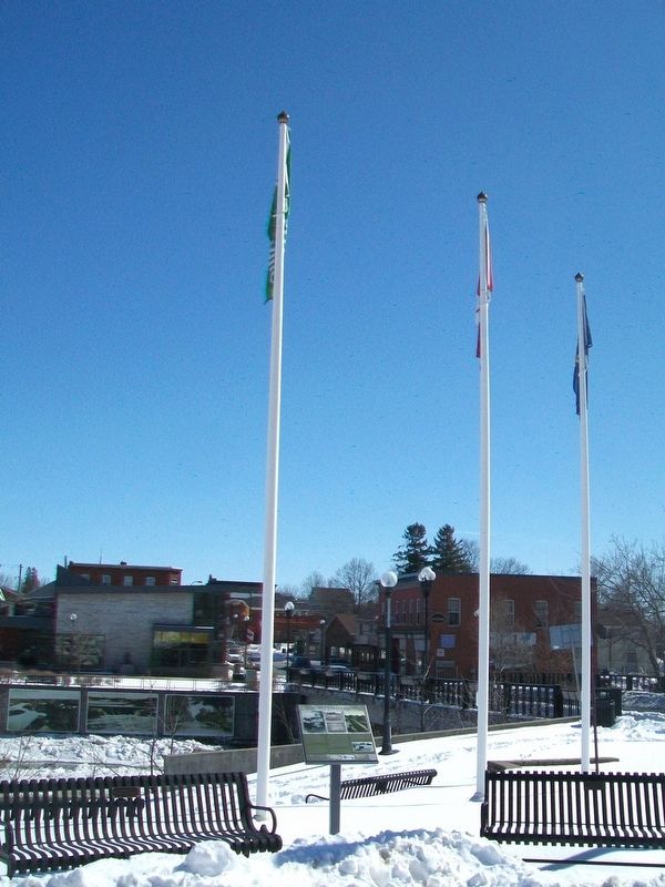
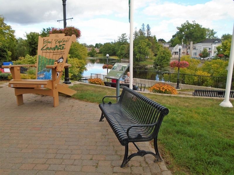
Location. 45° 1.009′ N, 75° 38.811′ W. Marker is in Kemptville, Ontario, in Leeds and Grenville United Counties. Marker is at the intersection of Clothier Street East (County Highway 44) and Prescott Street (County Highway 44), on the right when traveling east on Clothier Street East. Marker is in North Grenville Rotary Millennium Park. Touch for map. Marker is at or near this postal address: 28 Clothier Street East, Kemptville ON K0G 1J0, Canada. Touch for directions.
Other nearby markers. At least 8 other markers are within 19 kilometers of this marker, measured as the crow flies. Resilience of North Grenville and its Residents (here, next to this marker); North Grenville Rotary Millennium Park (a few steps from this marker); St. James' Memorial Church (about 210 meters away, measured in a direct line); War Memorial (approx. 0.4 kilometers away); Hon. G. Howard Ferguson (approx. 0.6 kilometers away); Veterans Commemorative Park (approx. 7.3 kilometers away); Founding of Merrickville (approx. 18.6 kilometers away); Merrickville United Church (approx. 18.7 kilometers away). Touch for a list and map of all markers in Kemptville.
Also see . . .
1. Town of Kemptville History. (Submitted on March 20, 2017, by William Fischer, Jr. of Scranton, Pennsylvania.)
2. History of North Grenville. (Submitted on March 20, 2017, by William Fischer, Jr. of Scranton, Pennsylvania.)
3. North Grenville Historical Society. (Submitted on March 20, 2017, by William Fischer, Jr. of Scranton, Pennsylvania.)
Credits. This page was last revised on September 7, 2021. It was originally submitted on March 20, 2017, by William Fischer, Jr. of Scranton, Pennsylvania. This page has been viewed 190 times since then and 4 times this year. Photos: 1, 2. submitted on March 20, 2017, by William Fischer, Jr. of Scranton, Pennsylvania. 3. submitted on September 7, 2021, by William Fischer, Jr. of Scranton, Pennsylvania.


