Gulfport in Harrison County, Mississippi — The American South (East South Central)
1863 East Pascagoula Raid

Photographed By Mark Hilton, March 22, 2017
1. 1863 East Pascagoula Raid Marker
Emerging Civil War website entry:
Click for more information.
Click for more information.
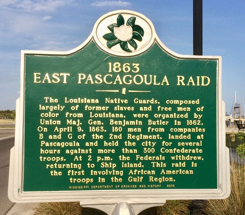
The Louisiana Native Guards, composed largely of former slaves and free men of color from Louisiana, were organized by Union Maj. Gen. Benjamin Butler in 1862. On April 9, 1863, 180 men from companies B and G of the 2nd Regiment, landed at Pascagoula and held the city for several hours against more than 300 Confederate troops. At 2 p.m. the Federals withdrew, returning to Ship Island. This raid is the first involving African American troops in the Gulf Region.
Erected 2010 by the Mississippi Department of Archives and History.
Topics and series. This historical marker is listed in these topic lists: African Americans • War, US Civil • Waterways & Vessels. In addition, it is included in the Mississippi State Historical Marker Program series list. A significant historical date for this entry is April 9, 1863.
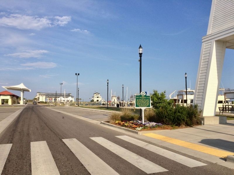
Location. 30° 21.904′ N, 89° 5.38′ W. Marker is in Gulfport, Mississippi, in Harrison County. Marker is on Jones Park Drive, 0.2 miles east of 25th Avenue, on the right when traveling east. Located next to the Gulfport Harbor Light at Jones Park. Touch for map. Marker is at or near this postal address: Jones Park Drive, Gulfport MS 39501, United States of America. Touch for directions.
Other nearby markers. At least 8 other markers are within 2 miles of this marker, measured as the crow flies. Ship Island (here, next to this marker); First Baptist Church, Gulfport (approx. 0.2 miles away); The Magnolia Route (approx. ¼ mile away); Old Gulfport High School (approx. 0.4 miles away); Harrison County Confederate Monument (approx. 0.6 miles away); Kellier-Sternberg House (approx. 0.6 miles away); Gulfport Civil Rights Wade-In (approx. 0.7 miles away); St. Therese Parish Hall (approx. 1.1 miles away). Touch for a list and map of all markers in Gulfport.

Photographed By Mark Hilton, March 22, 2017
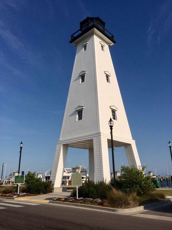
2. 1863 East Pascagoula Raid Marker at the Gulfport Harbor Light.
This lighthouse was designed as a replica of the Ship Island Lighthouse. The tower straddles the entrance to the city's new marina. Construction of the lighthouse was part of the city's redevelopment of the harbor area following its destruction by Hurricane Katrina. The light replaces a former skeletal tower.
Credits. This page was last revised on March 3, 2022. It was originally submitted on March 23, 2017, by Mark Hilton of Montgomery, Alabama. This page has been viewed 506 times since then and 40 times this year. Photos: 1, 2, 3, 4. submitted on March 23, 2017, by Mark Hilton of Montgomery, Alabama.

