Hungry Horse in Flathead County, Montana — The American West (Mountains)
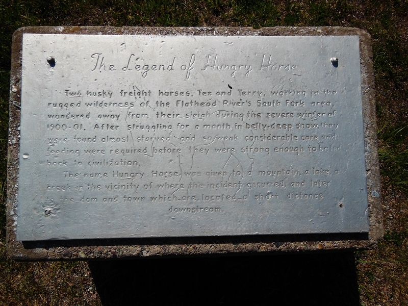
The Legend of Hungry Horse
Two husky freight horses, Tex and Terry, working in the rugged wilderness of the Flathead Riverís South Fork area, wandered away from their sleigh during the severe winter of 1900-1901. After struggling for a month in belly-deep snow, they were found almost starved and so weak considerable care and feeding were required before they were strong enough to be led back to civilization.
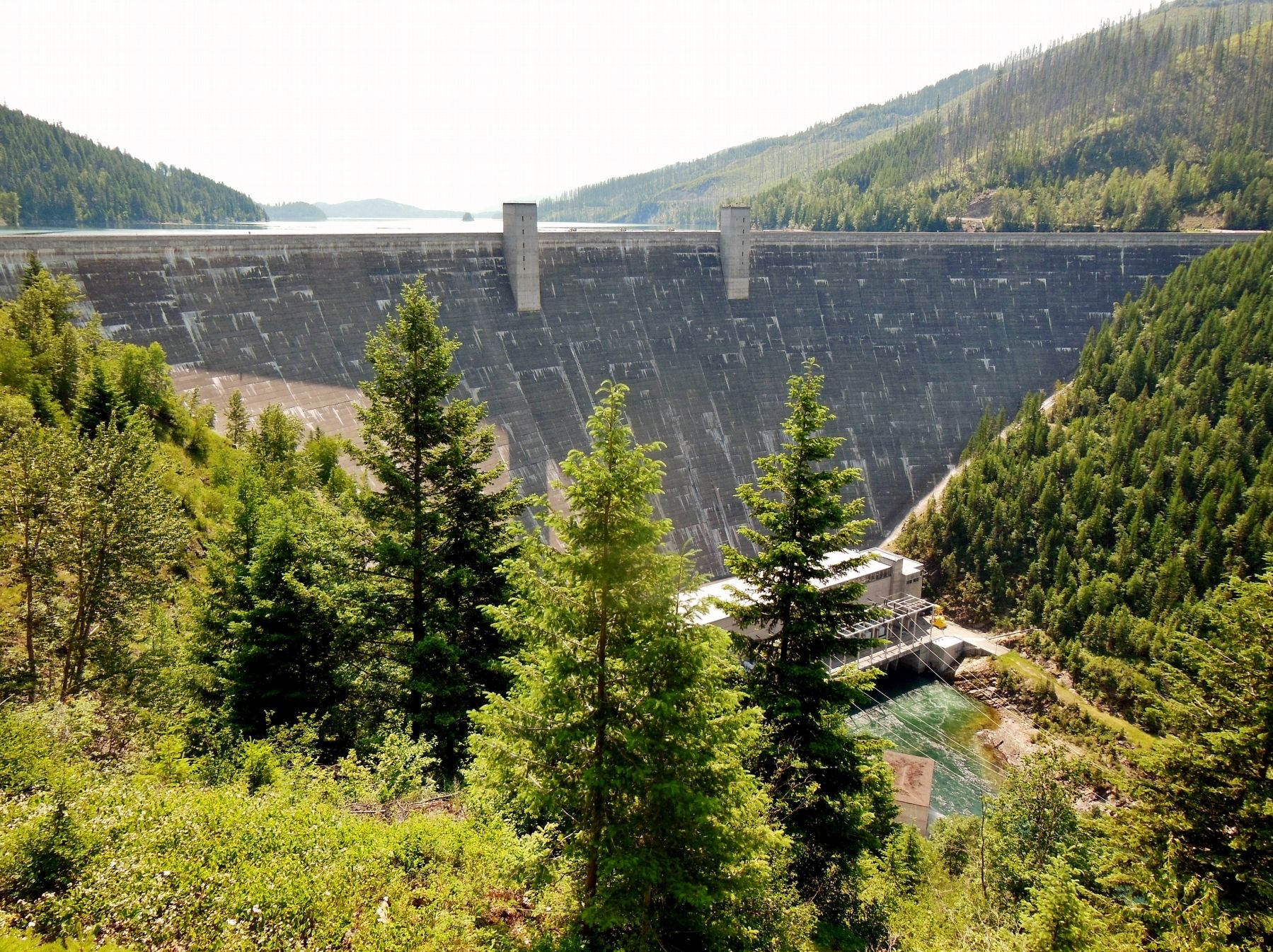
The name Hungry Horse was given to a mountain, a lake, a creek in the vicinity of where the incident occurred, and later to the dam and town which are located a short distance downstream.
Topics. This historical marker is listed in these topic lists: Industry & Commerce • Settlements & Settlers. A significant historical year for this entry is 1900.
Location. 48° 23.133′ N, 114° 3.766′ W. Marker is in Hungry Horse, Montana, in Flathead County. Marker is at the intersection of U.S. 2 and Main Street, on the right when traveling east on U.S. 2. Marker is located in a small plaza between Main Street and Mountain Drive. Marker is atop a short concrete pedestal. Touch for map. Marker is at or near this postal address: 8859 US Highway 2 East, Hungry Horse MT 59919, United States of America. Touch for directions.
Other nearby markers. At least 4 other markers are within 2 miles of this marker, measured as the crow flies. Hungry Horse Clearing Ball (a few steps from this marker); Surrounded by Wilderness (approx. 1.8 miles away); Berne Roadside Park (approx. 1.8 miles away); Bad Rock Canyon (approx. 1.9 miles away).
More about this marker. The marker is engraved on a metal placard that is worn and weathered, making it somewhat difficult to read.
Also see . . . Hungry Horse, Montana. Discover Montana website entry (Submitted on January 5, 2024, by Larry Gertner of New York, New York.)
Credits. This page was last revised on January 5, 2024. It was originally submitted on March 24, 2017, by Cosmos Mariner of Cape Canaveral, Florida. This page has been viewed 1,118 times since then and 151 times this year. Photos: 1, 2, 3. submitted on March 24, 2017, by Cosmos Mariner of Cape Canaveral, Florida. • Bill Pfingsten was the editor who published this page.


