Harrisburg in Dauphin County, Pennsylvania — The American Northeast (Mid-Atlantic)
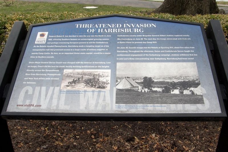
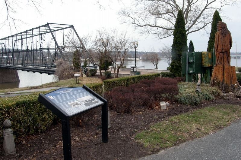
Threatened Invasion of Harrisburg
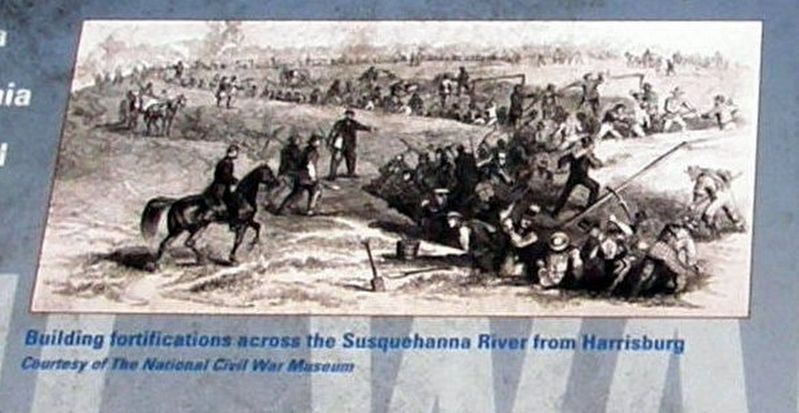
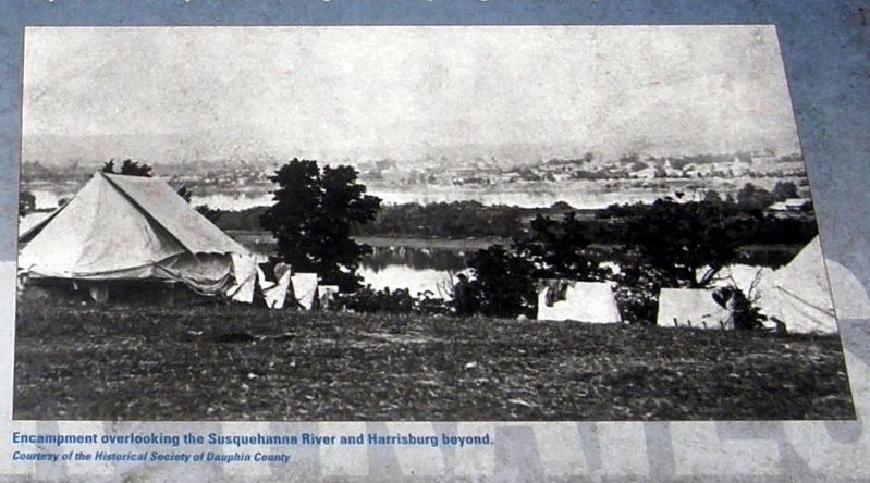
Union Major General Darius Couch was charged with the defense of Harrisburg. Low on troops, Couch did the best he could, hastily building fortifications on the heights directly across the Susquehanna River from Harrisburg. Pennsylvania and New York militia troops manned the defenses.
Confederate cavalry under Brigadier General Albert Jenkins captured nearby Mechanicsburg on June 28. The next day, his troops skirmished with Federals at Oyster Point (in present-day Camp Hill).
On June 30, Couch’s troops met the Confederates at Sporting Hill, about five miles from Harrisburg. Throughout the afternoon, Union and Confederate forces fought the northernmost engagement of the Gettysburg campaign. Jenkins withdrew that day to join Lee’s army concentrating near Gettysburg. Harrisburg had been saved.
Erected by Pennsylvania Civil War Trails.
Topics and series. This historical marker is listed in this topic list: War, US Civil. In addition, it is included in the Pennsylvania Civil War Trails series list. A significant historical date for this entry is June 30, 1863.
Location. 40° 15.548′ N, 76° 53.052′ W. Marker is in Harrisburg, Pennsylvania, in Dauphin County. Marker is at the intersection of North Front Street and Walnut Street, on the right when traveling south on North Front Street. Touch for map. Marker is in this post office area: Harrisburg PA 17101, United States of America. Touch for directions.
Other nearby markers. At least 8 other markers are within walking distance of this marker. The First River School (a few steps from this marker); Walnut Street Bridge (a few steps from this marker); The People’s Bridge (a few steps from this marker); Swenson Plaza Flood Memorial (within shouting distance of this marker); Governors’ Row (within shouting distance of this marker); a different marker also named The People’s Bridge (within shouting distance of this marker); James McCormick Mansion (within shouting distance of this marker); Harrisburg Public Library Dauphin County Library System (within shouting distance of this marker). Touch for a list and map of all markers in Harrisburg.
Credits. This page was last revised on March 28, 2017. It was originally submitted on March 27, 2017, by Larry Gertner of New York, New York. This page has been viewed 540 times since then and 37 times this year. Photos: 1, 2, 3, 4. submitted on March 27, 2017, by Larry Gertner of New York, New York. • Bernard Fisher was the editor who published this page.


