Santa Elena, Yucatán, Mexico — The Southeast (Yucatan Peninsula)
Uxmal Archaeological Site
Uxmal
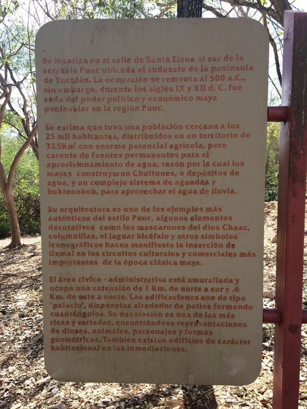
Se localiza en el valle de Santa Elena al sur de la serranía Puuc ubicada al sudoeste de la península de Yucatán. La ocupación se remonta al 500 a.C., sin embargo, durante los siglos IX y XII d.C. fue sede del poder politico y económico maya peninsular en la región Puuc.
Se estima que tuvo una población cercana a los 25 mil habitantes, distribuidos en un territorio de 37.5Km2 con enorme potencial agrícola, pero carente de fuentes permanentes para el aprovisionamiento de agua, razón por la cual los mayas construyeron Chultunes, o depósitos de agua, y un complejo sistema de aguadas y bukteoobob, para aprovechar el agua de lluvia.
Su arquitectura es uno de los ejemplos más auténticos del estilo Puuc, algunos elementos decorativos como los mascarones del dios Chaac, columnillas, el jaguar bicéfalo y otros símbolos iconográficos hacen manifiesta la inserción de Uxmal en los circuitos culturales y comerciales más importantes de la época clásica maya.
El área cívico-administrativa está amurallada y ocupa una extensión de 1 Km. de norte a sur y .6 Km de este a oeste. Las edificaciones son de tipo “palacio”, dispuestas alrededor de patios formando cuadrangulos. Su decoración es una de las más ricas y variadas, encontrándose representaciones de dioses, animales, personajes y formas geométricas. También existen edificios de carácter habitacional en las inmediaciones.
Maya-Yucateco:
Uxmal
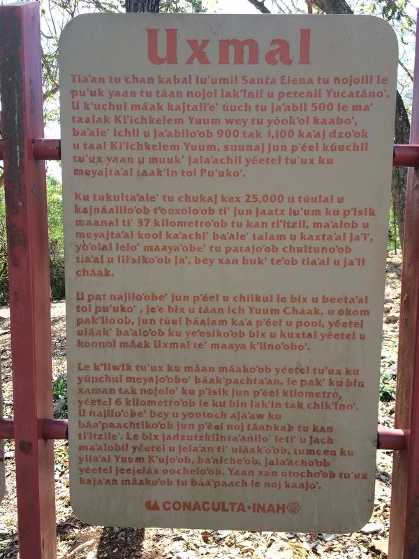
Tia’an tu chan kabal lu'umil Santa Elena tu nojolil le pu’uk yaan tu táan nojol lak'inil u petenil Yucatáno’. U k'uchul máak kajtali'e' úuch tu ja’abil 500 le ma’ taalak Ki'ichkelem Yuum wey tu yóok'ol kaabo’, ba’ale' ichil u ja'abilo’ob 900 tak 1,100 ka’aj dzo'ok u taal Ki’ichkelem Yuum, suunal jun p'éel kúuchil tu’ux yaan u muuk' jala’achil yéetel tu'ux ku meyajta’al taak'in tol Pu'uko’.
Ku tukuulta’ale’ tu chukali kex 25,000 u túulal u kajnáalilo'ob t'ooxolo'ob ti' un jaatz lu'um ku p'isik maanal ti' 37 kilometro'ob tu kan ti'itzil, ma'alob u meyajta'al kool ka'achi' ba'ale' talam u kaxta'al ja'l', yo'olal lelo' maaya'obe' tu patajo'ob chultuno'ob tia'al u líi'siko'ob ja', bey xan buk' te'ob tia'al u líi'siko'ob ja', bey xan buk' te'ob tia'al u ja'il cháak.
U pat najilo'obe' jun p'éel u chíikul le bix u beeta'al tol pu'uko', je'e bix u táan ich Yuum Cháak, u okom pak'ilo'ob, jun túul báalam ka'a p'éel u pool, yéetel uláak' ba'alo'ob ku ye'esiko'ob bix u kuxtal yéetel u koonol máak Uxmal te' maaya k'iino'obo.
Le k'íiwik tu'ux ku máan máako'ob yéetel tu'ux ku yúuchul meyajo'obo' báak'pachta'an, le pak' ku bin xaman tak nojolo' ku p'isik jun p'éel kilometro, yéetel 6 kilometro'ob le ku bin lak'in tak chik'ino'. U najilo'obe' bey u yootoch aja'aw ku báa'paachtiko'ob jun p'éel noj táankab tu kan ti'itzile'. Le bix jadzutzkíinta'anilo' leti' u jach ma'alobil yéetel u jela'an ti' uláak'o'ob, tumeen ku yila'al Yuum K'ujo'ob, ba'alche'ob, jala'acho'ob yéetel jeejelás oochelo'ob. Yaan xan otocho'ob tu'ux kaja'an máako'ob tu báa'paach le noj kaajo'.
English:
Uxmal
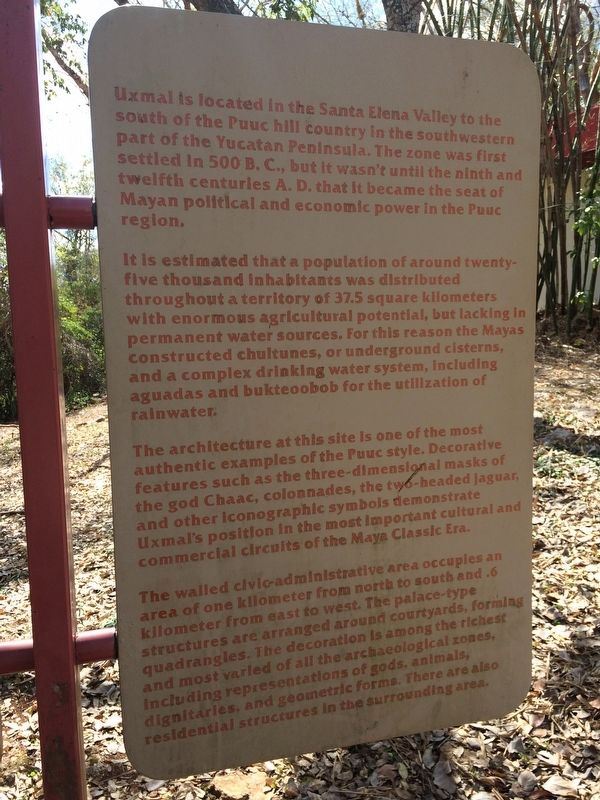
Uxmal is located in the Santa Elena Valley to the south of the Puuc hill country in the southwestern part of the Yucatan Peninsula. The zone was first settled in 500 B.C., but it wasn't until the ninth and twelfth centuries A.D. that it became the seat of Mayan political and economic power in the Puuc region.
It is estimated that a population of around twenty-five thousand inhabitants was distributed throughout a territory of 37.5 square kilometers with enormous agricultural potential, but lacking in permanent water sources. For this reason the Mayas constructed chultunes, or underground cisterns, and a complex drinking water system, including aguadas and bukteoobob for the utilization of rainwater.
The architecture at this site is one of the most authentic examples of the Puuc style. Decorative features such as the three-dimensional masks of the god Chaac, colonnades, the two-head jaguar, and other iconographic symbols demonstrate Uxmal’s position position in the most important cultural and commercial circuits of the Maya Classic Era.
The walled civic-administrative area occupies an area of one kilometer from north to south and .6 kilometer from east to west. The palace-type structures are arranged around courtyards, forming quadrangles. The decoration is among the richest and most varied of all the archaeological zones, including representations of gods, animals, dignitaries, and geometric forms. There are also residential structures in the surrounding area.
Erected by Consejo Nacional para la Cultura y las Artes de México (CONACULTA)-INAH.
Topics. This historical marker is listed in these topic lists: Anthropology & Archaeology • Man-Made Features • Native Americans.
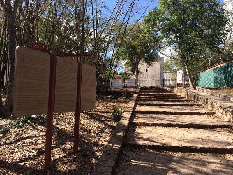
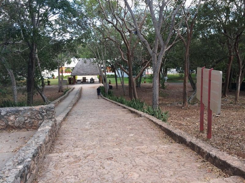
Location. 20° 21.642′ N, 89° 46.111′ W. Marker is in Santa Elena, Yucatán. Marker can be reached from Route 261. The marker is near the entrance to the Uxmal Archaeological Site, some ten kilometers from Muna, south of Mérida. Touch for map. Marker is in this post office area: Santa Elena YU 97899, Mexico. Touch for directions.
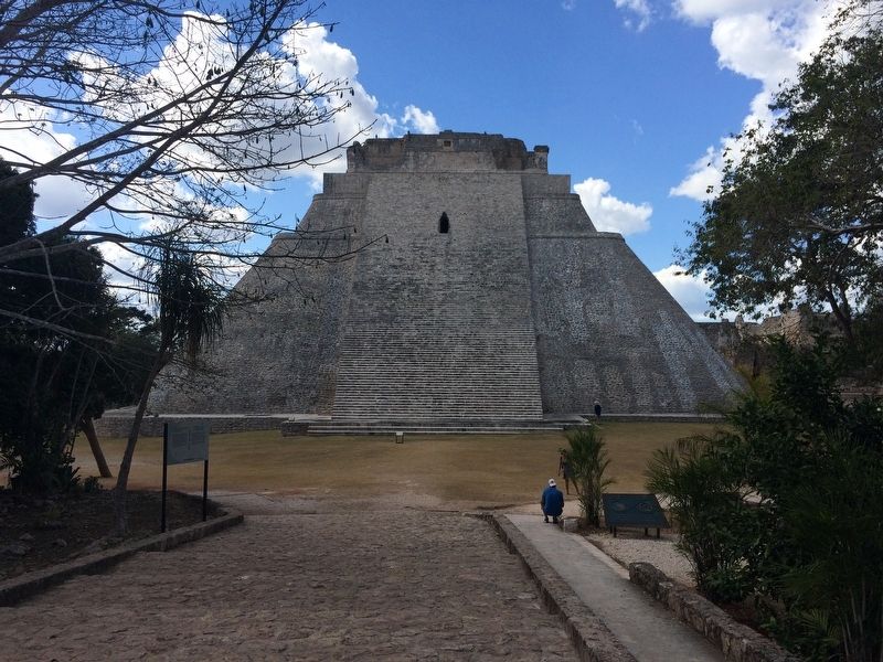
Other nearby markers. At least 8 other markers are within walking distance of this marker. The House of the Magician (within shouting distance of this marker); West facade of the Chenes style Temple IV (about 150 meters away, measured in a direct line); Quadrangle of the Nuns (about 150 meters away); Quadrangle of the Birds
(about 150 meters away); The Columns Building or the East Portico (about 180 meters away); Architecture (approx. 0.3 kilometers away); The Ballgame (approx. 0.3 kilometers away); The Throne of the Jaguar (approx. 0.3 kilometers away). Touch for a list and map of all markers in Santa Elena.
Credits. This page was last revised on May 31, 2018. It was originally submitted on April 7, 2017, by J. Makali Bruton of Accra, Ghana. This page has been viewed 179 times since then and 10 times this year. Photos: 1, 2, 3, 4. submitted on April 7, 2017, by J. Makali Bruton of Accra, Ghana. 5. submitted on April 8, 2017, by J. Makali Bruton of Accra, Ghana. 6. submitted on April 7, 2017, by J. Makali Bruton of Accra, Ghana.
