Santa Elena, Yucatán, Mexico — The Southeast (Yucatan Peninsula)
The House of the Magician
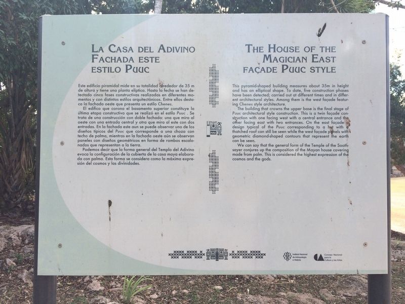
La Casa del Adivino
Fachada este estilo Puuc
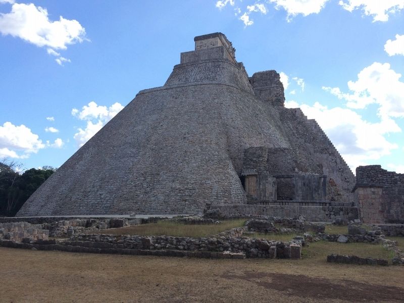
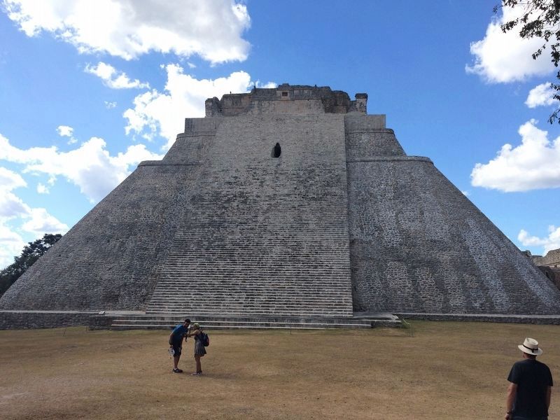
Este edificio piramidal mide en su totalidad alrededor de 35 m de altura y tiene una planta elíptica. Hasta la fecha se han detectado cinco fases constructivas realizadas en diferentes momentos y con distintos estilos arquitectónicos. Entre ellos destaca la fachada oeste que presenta un estilo Chenes.
El edifico que corona el basamento superior constituye la última etapa constructiva que se realizó en el estilo Puuc. Se trata de una construcción con doble fachada: una que mira al oeste con una entrada central y otra que mira al este con dos entradas. En la fachada este aun se puede observar uno de los diseños típicos del Puuc que corresponde a una choza con techo de palma, mientras en la fachada oeste aún se observan paneles con diseños geométricos en forma de rombos escalonados que representan a la tierra.
Podemos decir que la forma general del Templo del Adivino evoca la configuración de la cubierta de la casa maya elaborada con palma. Esta forma se considera como la máxima expresión del cosmos y las divinidades.
English:
The House of the Magician
East façade Puuc style
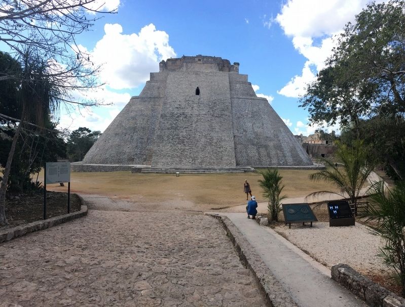
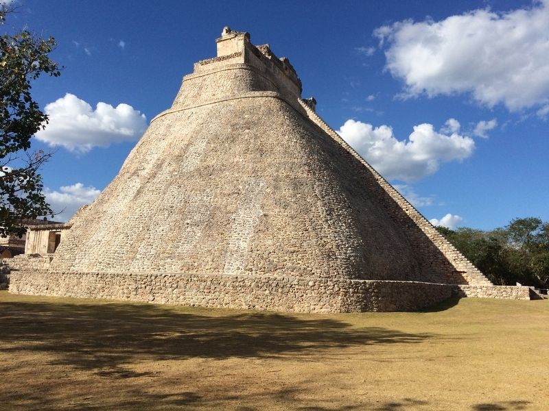
This pyramid-shaped building measures about 35m in height and has an elliptical shape. To date, five construction phases have been detected; carried out at different times and in different architectural styles. Among them is the west façade featuring Chenes style architecture.
The building that crowns the upper base is the final stage of Puuc architectural style construction. This is a twin façade construction with one facing west with a central entrance and the other facing east with two entrances. On the east façade a design typical of the Puuc corresponding to a hut with a thatched roof can still be seen while the west facade panels with geometric diamond-shaped contours that represent the earth can be seen.
We can say that the general form of the Temple of the Soothsayer conjures up the composition of the Mayan house made from palm. This is considered the highest expression of the cosmos and the gods.
Erected by Consejo Nacional para la Cultura y las Artes de México (CONACULTA)-INAH.
Topics and series. This historical marker is listed in these topic lists: Anthropology & Archaeology • Architecture • Man-Made Features • Native Americans. In addition, it is included in the UNESCO World Heritage Sites series list.
Location. 20° 21.642′ N, 89° 46.148′ W. Marker is in Santa Elena, Yucatán. Marker can be reached from
Photographed By J. Makali Bruton, January 20, 2017
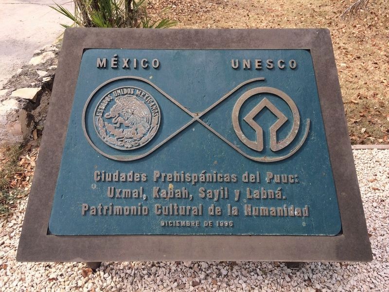
2. UNESCO World Heritage Site marker to the right of the featured marker.
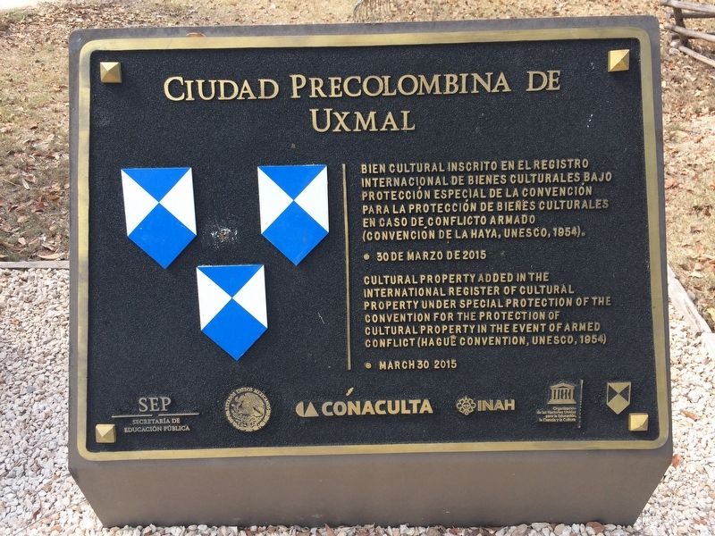
Ciudades Prehispánicas del Puuc:
Uxmal, Kabah, Sayil y Labná.
Patrimonio Cultural de la Humanidad
Diciembre de 1996
English translation:
Mexico – UNESCO
Prehispanic cities of the Puuc:
Uxmal, Kabah, Sayil and Labná.
World Heritage Site
December 1996
Other nearby markers. At least 8 other markers are within walking distance of this marker. Uxmal Archaeological Site (within shouting distance of this marker); West facade of the Chenes style Temple IV (about 90 meters away, measured in a direct line); Quadrangle of the Birds (about 90 meters away); Quadrangle of the Nuns (about 90 meters away); The Columns Building or the East Portico (about 120 meters away); The Ballgame (about 210 meters away); Architecture (about 210 meters away); The Governor's Palace (approx. 0.3 kilometers away). Touch for a list and map of all markers in Santa Elena.
Credits. This page was last revised on April 8, 2017. It was originally submitted on April 8, 2017, by J. Makali Bruton of Accra, Ghana. This page has been viewed 182 times since then and 10 times this year. Photos: 1, 2, 3, 4, 5, 6, 7. submitted on April 8, 2017, by J. Makali Bruton of Accra, Ghana.
