Near Amory in Monroe County, Mississippi — The American South (East South Central)
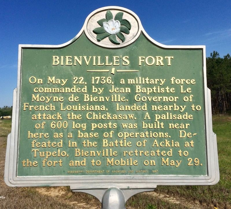
Bienville's Fort
Erected 1987 by the Mississippi Department of Archives and History.
Topics and series. This historical marker is listed in these topic lists: Colonial Era • Forts and Castles • Native Americans • Wars, US Indian. In addition, it is included in the Mississippi State Historical Marker Program series list. A significant historical date for this entry is May 22, 1736.
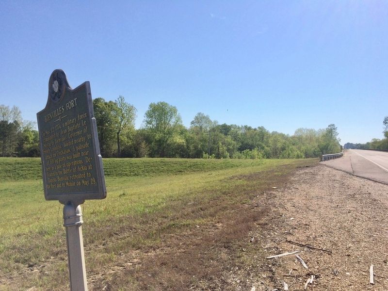
Location. 33° 59.149′ N, 88° 33.184′ W. Marker is near Amory, Mississippi, in Monroe County. Marker is on U.S. 278, 1.2 miles west of Cotton Gin Road, on the right when traveling west. Touch for map. Marker is in this post office area: Amory MS 38821, United States of America. Touch for directions.
Other nearby markers. At least 8 other markers are within 7 miles of this marker, measured as the crow flies. Cotton Gin Port (approx. 1.2 miles away); Mound Cemetery (approx. 2.8 miles away); Amory, Mississippi: Blues from a Railroad Town (approx. 3.6 miles away); Amory's Tribute to the Heroes of 1861—1865 (approx. 3.7 miles away); Chickasaw Cession (approx. 3.8 miles away); Becker Post Office (approx. 4.1 miles away); Gilmore Sanitarium (approx. 4.1 miles away); Camargo 1847 (approx. 6.6 miles away). Touch for a list and map of all markers in Amory.
Also see . . . Wikipedia article on the Chickasaw Campaign of 1736. (Submitted on April 10, 2017, by Mark Hilton of Montgomery, Alabama.)
Credits. This page was last revised on April 10, 2017. It was originally submitted on April 10, 2017, by Mark Hilton of Montgomery, Alabama. This page has been viewed 648 times since then and 115 times this year. Photos: 1, 2, 3. submitted on April 10, 2017, by Mark Hilton of Montgomery, Alabama.


