Nipomo in San Luis Obispo County, California — The American West (Pacific Coastal)
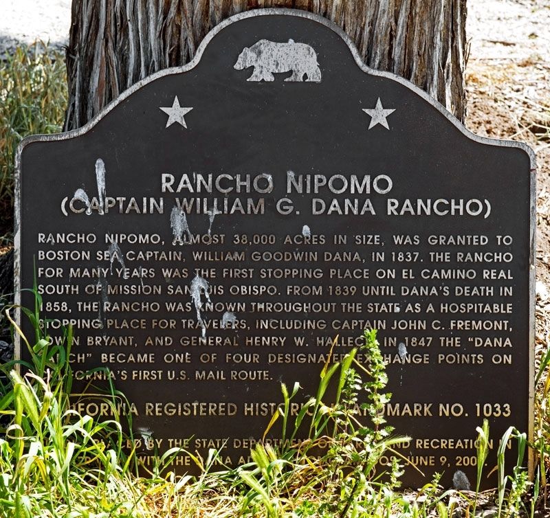
Rancho Nipomo
Captain William G. Dana Rancho
Erected 2001 by California Department of Parks and Recreation and the Dana Adobe Nipomo Amigos. (Marker Number 1033.)
Topics and series. This historical marker is listed in these topic lists: Agriculture • Architecture • Settlements & Settlers. In addition, it is included in the California Historical Landmarks, and the El Camino Real, “The King's Highway” (California) series lists. A significant historical year for this entry is 1837.
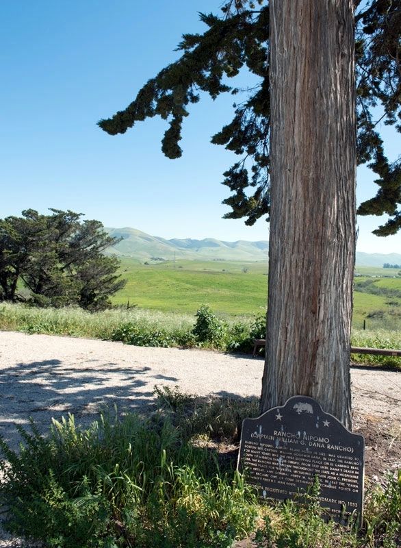
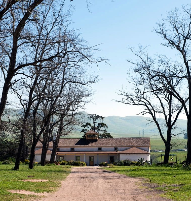
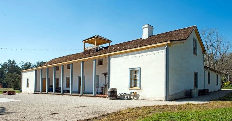
Location. 35° 1.665′ N, 120° 28.143′ W. Marker is in Nipomo, California, in San Luis Obispo County. Marker is located behind the adobe. Touch for map. Marker is at or near this postal address: 671 South Oak Glen Avenue, Nipomo CA 93444, United States of America. Touch for directions.
Other nearby markers. At least 8 other markers are within 6 miles of this marker, measured as the crow flies. Veterans' Memorial Cultural Center and Park (approx. 5.1 miles away); Site of the Pacific Coast Railway Depot (approx. 5.3 miles away); IOOF Temple (approx. 5˝ miles away); Santa Maria's Oldest Building (approx. 5˝ miles away); In Memory of William Alvin Newton (approx. 5˝ miles away); Historical Site of the First Masonic Temple in the County of Santa Barbara (approx. 5.6 miles away); Santa Maria Libraries (approx. 5.8 miles away); Original Masonic Cornerstone of Carnegie Library (approx. 5.8 miles away).
Credits. This page was last revised on April 15, 2017. It was originally submitted on April 11, 2017, by Alvis Hendley of San Francisco, California. This page has been viewed 338 times since then and 45 times this year. Photos: 1, 2, 3, 4. submitted on April 11, 2017, by Alvis Hendley of San Francisco, California. • Syd Whittle was the editor who published this page.


