Near Inverness in Marin County, California — The American West (Pacific Coastal)
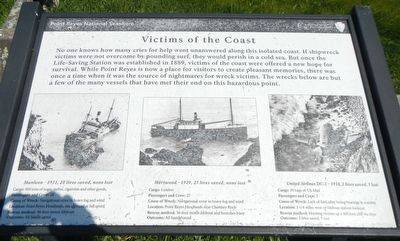
Victims of the Coast
Shipwrecks, left to right:
Munleon - 1931, 28 lives saved, none lost
Passengers and Crew: 28
Cause of Wreck: Navigational error in heavy fog and wind
Location: Point Reyes Headlands, ran aground at full speed
Rescue method: 36-foot motor lifeboat
Outcome: All hands saved
Hartwood - 1929, 27 lives saved, none lost
Cargo: Lumber
Passengers and Crew: 27
Cause of Wreck: Navigational error in heavy fog and wind
Location: Point Reyes Headlands near Chimney Rock
Rescue method: 36-foot motor lifeboat and breeches buoy
Outcome: All hands saved
United Airlines DC-3 - 1938, 2 lives saved, 5 lost
Cargo: 30 bags of US Mail
Passengers and Crew: 7
Cause of Wreck: Lack of fuel, after losing bearings in a storm
Location: 1 1/4 miles west of lifeboat station lookout
Rescue method: Hoisting victims up a 400 foot cliff via rope
Outcome: 2 lives saved, 5 lost
Erected by National Park Service, Point Reyes National Seashore.
Topics and series. This historical marker is listed in these topic lists: Disasters • Waterways & Vessels. In addition, it is included in the Lost at Sea series list. A significant historical year for this entry is 1889.
Location. 37° 59.744′ N, 122° 58.75′ W. Marker is near Inverness, California, in Marin County. Marker is on Chimney Rock Road near Sir Francis Drake Boulevard, on the left when traveling east. Touch for map. Marker is in this post office area: Inverness CA 94937, United States of America. Touch for directions.
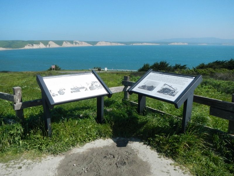
Other nearby markers. At least 8 other markers are within 3 miles of this marker, measured as the crow flies. Lives of Sacrifice and Service are Honored Here (here, next to this marker); Whalewatching (within shouting distance of this marker); Sea Life in These Waters (within shouting distance of this marker); Francis Drake (about 500 feet away, measured in a direct line); Preserving Our Maritime Past (approx. 0.3 miles away); Point Reyes Conglomerate (approx. 2.2 miles away); Point Reyes Light Station
(approx. 2.2 miles away); Common Murres (approx. 2.3 miles away). Touch for a list and map of all markers in Inverness.
More about this marker. This marker is located near the Chimney Rock parking lot at the end of the Chimney Rock Road.
Credits. This page was last revised on October 8, 2020. It was originally submitted on April 11, 2017, by Barry Swackhamer of Brentwood, California. This page has been viewed 230 times since then and 13 times this year. Photos: 1, 2. submitted on April 11, 2017, by Barry Swackhamer of Brentwood, California.

