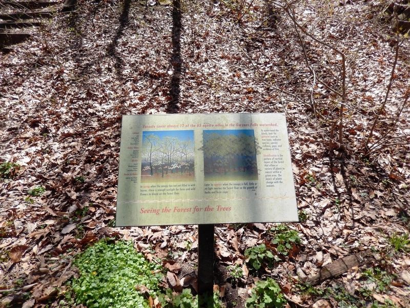
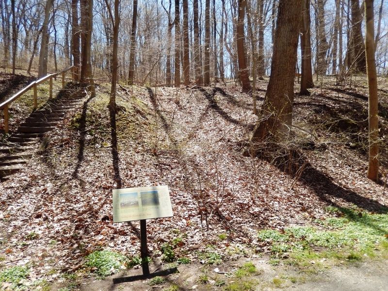
Seeing the Forest for the Trees
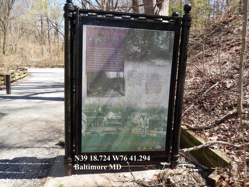
Gwynns Falls Trial
Forests cover almost 12 of the 65 square miles in the Gwynns Falls watershed.
To understand the forest, look for patterns such as tree types, indicator species, species richness, gaps, and evidence of fire.
Stratification is the pattern of vertical layers of the forest that allows a variety of plants to coexist within a given area. The layers of plants change with the seasons.
(Inscription under the image on the left)
In spring when the canopy has not yet filled in with leaves, there is enough sunlight for ferns and wild flowers to bloom on the forest floor.
(Inscription under the image on the right)
Later in summer when the canopy is full, little or no light reaches the forest floor so the growth of herbs and ferns stops.
Topics. This historical marker is listed in these topic lists: Horticulture & Forestry • Waterways & Vessels.
Location. 39° 18.721′ N, 76° 41.316′ W. Marker is in Baltimore, Maryland. It is in Gwynns Falls/Leakin Park. Marker is on Windsor Mill Road. The marker is at the Gwynns Falls Trailhead on Windsor Mill Road. Touch for map. Marker is at or near this postal address: 4300 Windsor Mill Rd, Baltimore MD 21216, United States of America. Touch for directions.
Other nearby markers. At least 8 other markers are within walking distance of this marker. An Old Mill Stream (a few steps from this marker); Gwynns Falls Park at Windsor Mill Road
Credits. This page was last revised on February 16, 2021. It was originally submitted on April 11, 2017, by Don Morfe of Baltimore, Maryland. This page has been viewed 161 times since then and 4 times this year. Photos: 1, 2, 3. submitted on April 11, 2017, by Don Morfe of Baltimore, Maryland. • Bill Pfingsten was the editor who published this page.


