Sausalito in Marin County, California — The American West (Pacific Coastal)
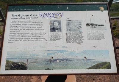
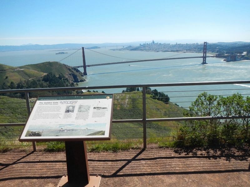
The Golden Gate
A narrow three-mile channel

Photographed By Barry Swackhamer, March 31, 2017
1. The Golden Gate Marker
Captions: (upper right) (left)John Fremont, a captain with the U.S. Corps of Topographical Engineers, gave the Golden Gate its name in 1846. "To this gate I gave the name Chrysopytae, or Golden Gate," he wrote nearly a hundred years before the bridge was built.; (middle) Completed in 1837, the Golden Gate Bridge is known around the world. Few people know that its name belonged first to the three-mile channel that links the bay and ocean. The first Europeans to see the Golden Gate were Spanish soldiers who discovered it by accident while marching north from Mexico in 1769. They called it "La Boca" (the Mouth) and "La Entrada" (the Entrance). Earlier still, the area's native Miwok called the channel "Mouth of the Sundown Sea".; (right) During the Gold Rush, San Francisco's harbor changed almost overnight from a sleepy frontier anchorage into a vital maritime center. In 1849 alone, 770 ships carried more than 91,000 passengers through the Golden Gate. For the next century San Francisco remained the west coast's major port - during World War II, ships transported 23 million tons of supplies and 1.65 million soldiers through the Golden Gate to Pacific battlefronts.
The Golden Gate is the only major break in the coastline for nearly 1,000 miles. The Sacramento and San Joaquin River systems, consisting of 12 major rivers, drain nearly 40% of California, and all of the water flows out through the Golden Gate. The water is over 300 feet deep in the middle of the channel.
Erected by National Park Service, Golden Gate National Recreation Ares.
Topics. This historical marker is listed in this topic list: Natural Features.
Location. 37° 49.626′ N, 122° 29.946′ W. Marker is in Sausalito, California, in Marin County. Marker is on Conzelman Road near McCullough Road, on the left when traveling west. Touch for map. Marker is in this post office area: Sausalito CA 94965, United States of America. Touch for directions.
Other nearby markers. At least 8 other markers are within 2 miles of this marker, measured as the crow flies. Battery Construction No. 129 (a few steps from this marker); Construction 129 (about 300 feet away, measured in a direct line); Battery Spencer (approx. 0.9 miles away); Strengthening an Icon (approx. one mile away); The Golden Gate Bridge (approx. 1.1 miles away); The Bay Transformed (approx. 1.1 miles away); The Lone Sailor (approx. 1.1 miles away); H. Dana Bowers Memorial Vista Point (approx. 1.1 miles away). Touch for a list and map of all markers in Sausalito.
More about this marker. This marker is located at the Battery Construction No. 129 pullout on the Marin Headlands in Golden Gate National Recreation Area.
Credits. This page was last revised on April 14, 2017. It was originally submitted on April 14, 2017, by Barry Swackhamer of Brentwood, California. This page has been viewed 329 times since then and 15 times this year. Photos: 1, 2. submitted on April 14, 2017, by Barry Swackhamer of Brentwood, California.
