Tupelo in Lee County, Mississippi — The American South (East South Central)
The Tupelo Swamp / Plank Road
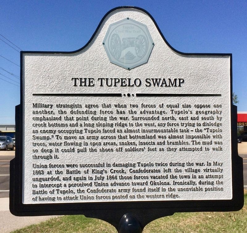
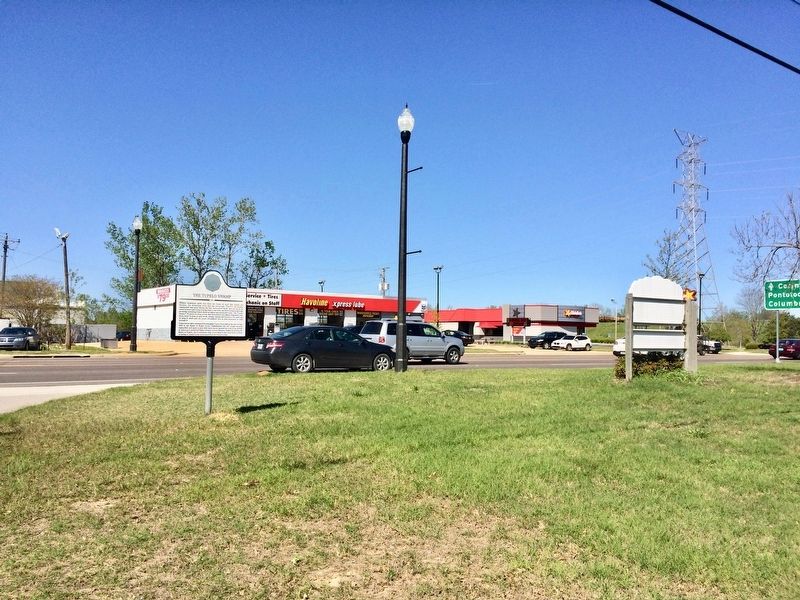
Military strategists agree that when two forces of equal size oppose one another, the defending force has the advantage. Tupelo's geography emphasized that point during the war. Surrounded north, east and south by creek bottoms and a long sloping ridge to the west, any force trying to dislodge an enemy occupying Tupelo faced an almost insurmountable task - the "Tupelo Swamp." To move an army across that bottomland was almost impossible with trees, water flowing in open areas, snakes, insects and brambles. The mud was so deep it could pull the shoes off soldiers' feet as they attempted to walk through it.
Union forces successful in damaging Tupelo twice during the war. In May 1863 at the Battle of Kings Creek, Confederates left the village virtually unguarded, and again in July 1864 those forces vacated the town in an attempt to intercept a perceived Union advance toward Okolona. Ironically, during the Battle of Tupelo, the Confederate army found itself in the unenviable position of having to attack Union forces posted on the western ridge.
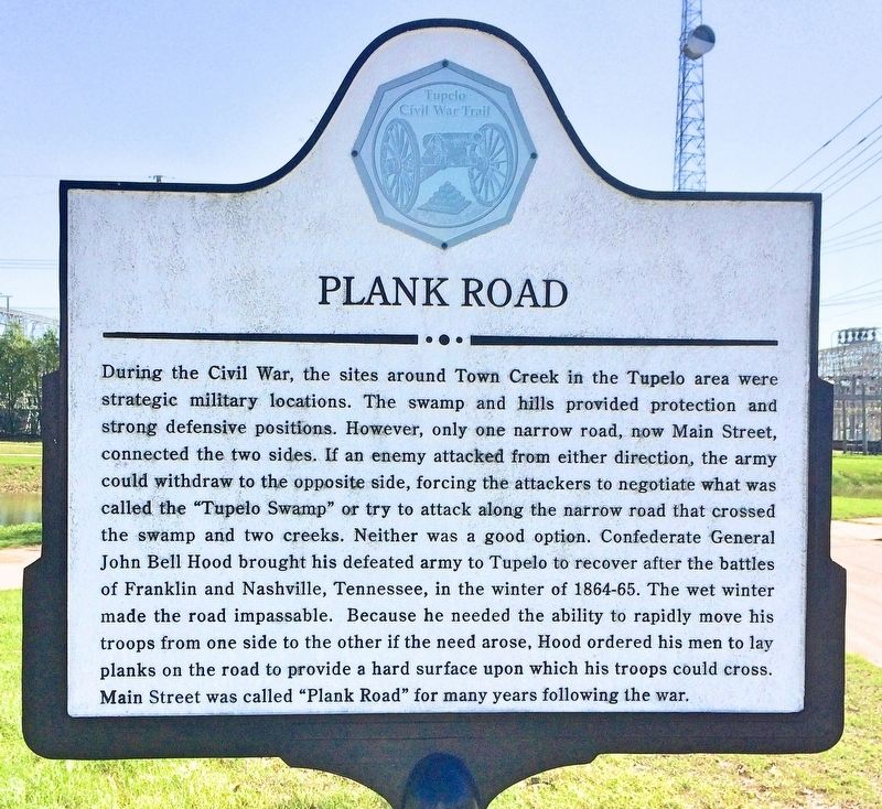
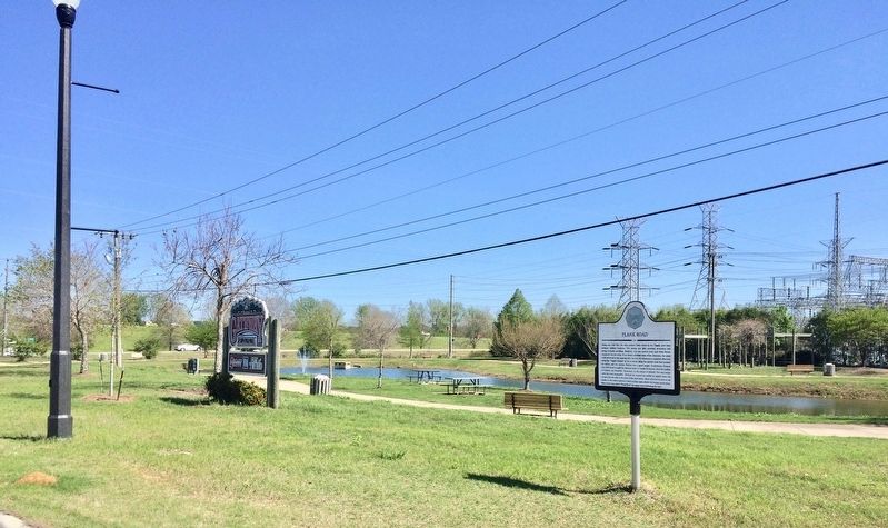
During the Civil War, the sites around Town creek in the Tupelo area were strategic military locations. The swamp and hills provided protection and strong defensive positions. However, only one narrow road, now Main Street connected the two sides. If an enemy attacked from either direction, the army could withdraw to the opposite side, forcing the attackers to negotiate what was called the "Tupelo Swamp" or try to attack along the narrow road that crossed the swamp and two creeks. Neither was a good option. Confederate General John Bell Hood brought his defeated army to Tupelo to recover after the battles of Franklin and Nashville, Tennessee, in the winter of 1864-65. The wet winter made the road impassable. Because he needed the ability to rapidly move his troops from one side to the other if the need arose. Hood ordered his men to lay planks on the road to provide a hard surface upon which his troops could cross. Main Street was called "Plank Road" for many years following the war.
Erected 2013 by the Tupelo Convention & Visitors Bureau.
Topics. This historical marker is listed in these topic lists: Roads & Vehicles • War, US Civil • Waterways & Vessels. A significant historical month for this entry is May 1863.
Location. 34° 15.442′ N, 88° 41.789′ W. Marker is in Tupelo, Mississippi, in Lee County. Marker is on East Main Street (U.S. 278) 0.1 miles east of East Elizabeth Street, on the right when traveling east. Touch for map. Marker is at or near this postal address: 475 East Main Street, Tupelo MS 38804, United States of America. Touch for directions.
Other nearby markers. At least 8 other markers are within walking distance of this marker. Shake Rag (about 600 feet away, measured in a direct line); Shake Rag Community (approx. 0.2 miles away); Shake Rag – A Way of Life / Shake Rag and Urban Renewal (approx. ¼ mile away); Elvis Presley and Tupelo (approx. ¼ mile away); The Iron Furnace / Front Street (approx. 0.4 miles away); Tupelo Hardware (approx. 0.4 miles away); Sit-Ins Led to Civil Rights Act of 1964 / F.W. Woolworth (approx. 0.4 miles away); Lee County, Mississippi War Memorial (approx. half a mile away). Touch for a list and map of all markers in Tupelo.
More about this marker. Part of the Tupelo Civil War Trail in the Heritage Trails Enrichment Program.
Credits. This page was last revised on October 31, 2020. It was originally submitted on April 16, 2017, by Mark Hilton of Montgomery, Alabama. This page has been viewed 921 times since then and 58 times this year. Photos: 1, 2, 3, 4. submitted on April 16, 2017, by Mark Hilton of Montgomery, Alabama.


