Tupelo in Lee County, Mississippi — The American South (East South Central)
The Battle of King's Creek / The Campaign to Take Vicksburg
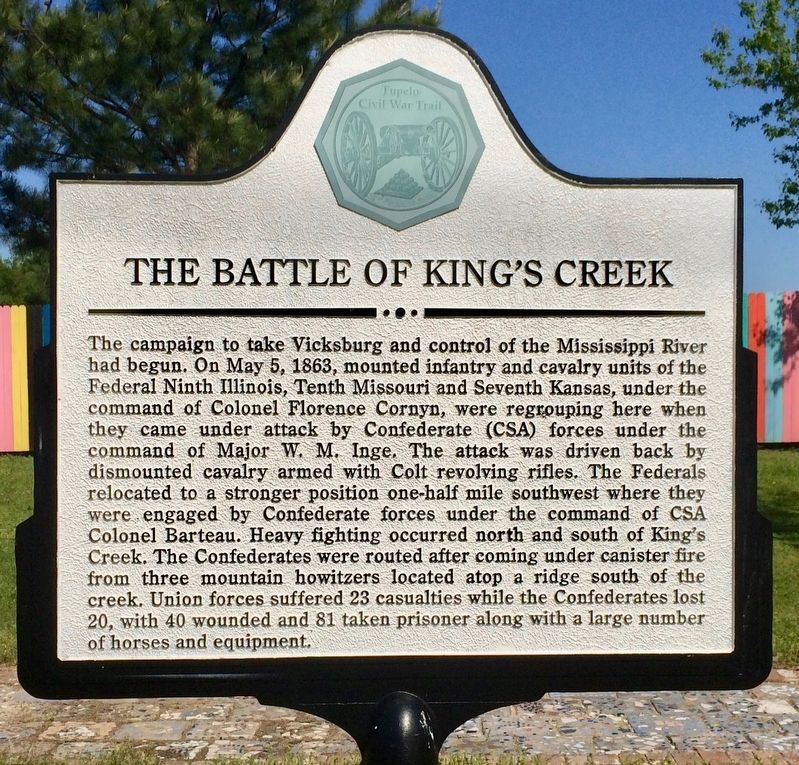
The campaign to take Vicksburg and control of the Mississippi River had begun. On May 5, 1863, mounted infantry and cavalry units of the Federal Ninth Illinois, Tenth Missouri and Seventh Kansas, under the command of Colonel Florence Cornyn, were regrouping here when they came under attack by Confederate (CSA) forces under the command of Major W. M. Inge. The attack was driven back by dismounted cavalry armed with Colt revolving rifles. The Federals relocated to a stronger position one-half mile southwest where they were engaged by Confederate forces under the command of CSA Colonel Barteau. Heavy fighting occurred north and south of King's Creek. The Confederates were routed after coming under canister fire from three mountain howitzers located atop a ridge south of the creek. Union forces suffered 23 casualties while the Confederates lost 20, with 40 wounded and 81 taken prisoner along with a large number of horses and equipment.
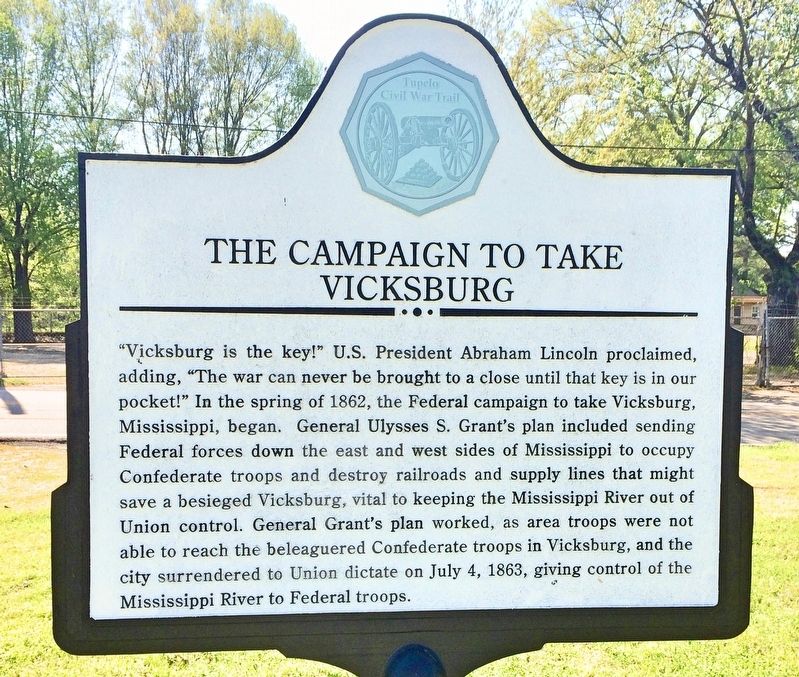
"Vicksburg is the key!" U.S. President Abraham Lincoln proclaimed, adding, "The war can never be brought to a close until that key is in our pocket!" In the spring of 1862, the Federal campaign to take Vicksburg, Mississippi, began. General Ulysses S. Grant's plan included sending Federal forces down the east and west sides of Mississippi to occupy Confederate troops and destroy railroads and supply lines that might save a besieged Vicksburg, vital to keeping the Mississippi River out of Union control. General Grant's plan worked, as area troops were not able to reach the beleaguered Confederate troops in Vicksburg, and the city surrendered to Union dictate on July 4, 1863, giving control of the Mississippi River to Federal troops.
Erected 2013 by the Tupelo Convention and Visitors Bureau.
Topics and series. This historical marker is listed in these topic lists: Railroads & Streetcars • War, US Civil • Waterways & Vessels. In addition, it is included in the Former U.S. Presidents: #18 Ulysses S. Grant series list. A significant historical date for this entry is May 5, 1863.
Location. 34° 15.121′ N, 88° 42.249′ W. Marker is in Tupelo, Mississippi, in Lee County. Marker is on South Spring Street south of Elliott Street, on the left when traveling south. Touch for map. Marker is at or near this postal address: South Spring Street, Tupelo MS 38804, United States of America. Touch for directions.
Other nearby markers. At least 8 other markers are within walking distance of this marker. Sit-Ins Led to Civil Rights Act of 1964 / F.W. Woolworth (approx. 0.3 miles away); The Iron Furnace / Front Street (approx. 0.3 miles away); Tupelo Hardware (approx. 0.4 miles away); Elvis Presley and Tupelo (approx. 0.4 miles away); Lee County, Mississippi War Memorial (approx. 0.4 miles away); Tupelo Woman's Christian Temperance Union (approx. 0.4 miles away); In Commemoration of Hernando De Soto (approx. 0.4 miles away); Tupelo Confederate Soldiers Monument (approx. 0.4 miles away). Touch for a list and map of all markers in Tupelo.
More about this marker. Part of the Tupelo Civil War Trail in the Heritage Trails Enrichment Program.
Credits. This page was last revised on October 31, 2020. It was originally submitted on April 16, 2017, by Mark Hilton of Montgomery, Alabama. This page has been viewed 567 times since then and 66 times this year. Photos: 1, 2, 3, 4. submitted on April 16, 2017, by Mark Hilton of Montgomery, Alabama.


