Santa Elena, Yucatán, Mexico — The Southeast (Yucatan Peninsula)
The Pigeon-House Cluster
El Grupo del Palomar
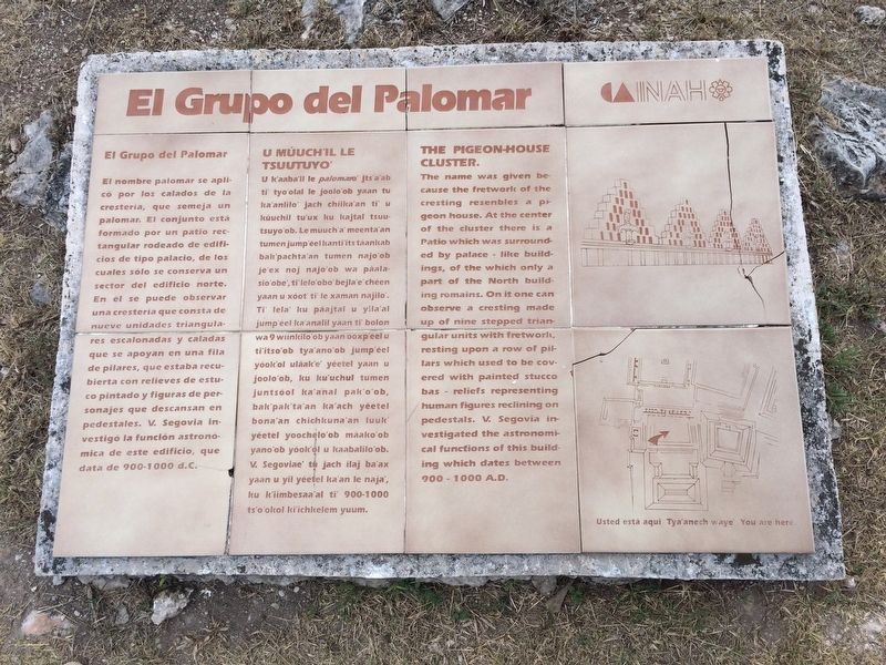
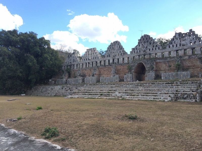
El nombre palomar se aplicó por los calados de la crestería, que semeja un palomar. El conjunto está formado por un patio rectangular rodeado de edificios de tipo palacio, de los cuales sólo se conserva un sector del edificio norte. En él se puede observar una crestería que consta de nueve unidades triangulares escalonadas y caladas que se apoyan en una fila de pilares, que estaba recubierta con relieves de estuco pintado y figuras de personajes que descansan en pedestales. V. Segovia investigó la función astronómica de este edificio, que data de 900-1000 d.C.
Maya-Yucateco:
U Múuch’il le Tsuutyuo’
U k’aaba’il le palomaro’ jts’a’ab ti’ tyo’olal le joolo’ob yaan tu ka’anlilo’ jach chiika’an ti’ u kúuchil tu’ux ku kajtal tsuutsuyo’ob. Le múuch’a’ meenta’an tumen jump’éel kanti’its táankab bak’pachta’an tumen najo’ob wa páalasio’obe’, ti’lelo’obo’ bejla’e’ chéen yaan u xóot’ ti’ le xaman najilo’. Ti’ lela’ ku páajtal u yila’al jump’éel ka’analil yaan ti’ bolon wa 9 wiinkilo’ob yaan ooxp’éel u ti’itso’ob tya’ano’ob jump’éel yóok’ol uláak’e’ yéetel yaan u joolo’ob, ku ku’uchul tumen juntsóol ka’anal pak’o’ob, bak’pak’ta’an ka’ach yéetel bona’an chichkuna’an luuk’ yéetel yoochelo’ob máako’ob yano’ob yóok’ol u kaabalilo’ob. V. Segoviae’ tu jach ilaj ba’ax yaan u yil yéetel ka’an le naja’, ku k’iimbesaa’al ti’ 900-1000 ts’o’okol ki’ichkelem yuum.
English:
The Pigeon-House Cluster.
The name was given because the fretwork of the cresting resembles a pigeon house. At the center of the cluster there is a Patio which was surrounded by palace-like buildings, of the which only a part of the North building remains. On it one can observe a cresting made up of nine stepped triangular units with fretwork, resting upon a row of pillars which used to be covered with painted stucco bas-reliefs representing human figures reclining on pedestals. V. Segovia investigated the astronomical functions of this building which dates between 900-1000 A.D.
Erected by Consejo Nacional para la Cultura y las Artes de México (CONACULTA)-INAH.
Topics. This historical marker is listed in these topic lists: Anthropology & Archaeology • Architecture • Man-Made Features • Native Americans.
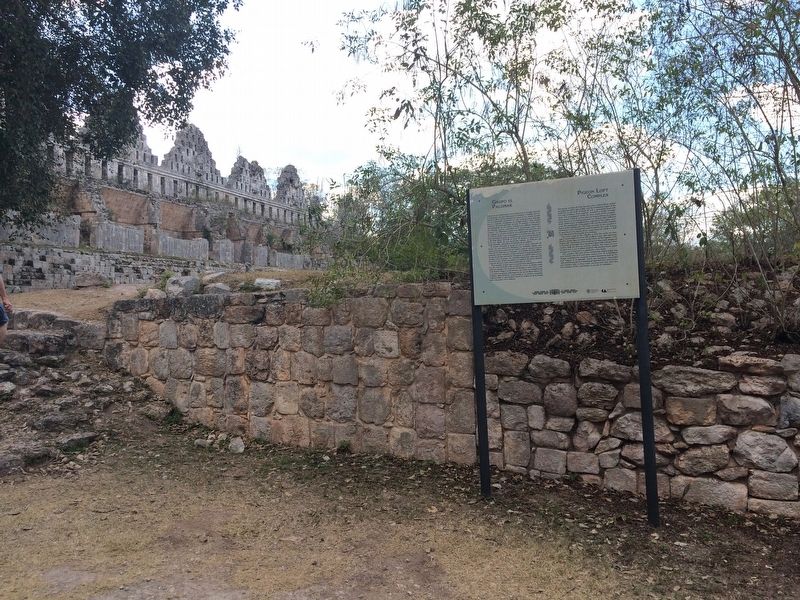
Location. 20° 21.516′ N, 89° 46.35′ W. Marker is in Santa Elena, Yucatán. Marker can be reached from Route 261. The marker is just north of the Pigeon Loft Complex in the southern portion of the Uxmal Archaeological Site, some ten kilometers from Muna, south of Mérida. Touch for map. Marker is in this post office area: Santa Elena YU 97899, Mexico. Touch for directions.
Other nearby markers. At least 8 other markers are within

Photographed By J. Makali Bruton, January 20, 2017
2. An additional marker related to The Pigeon-House Cluster
This nearby marker reads:
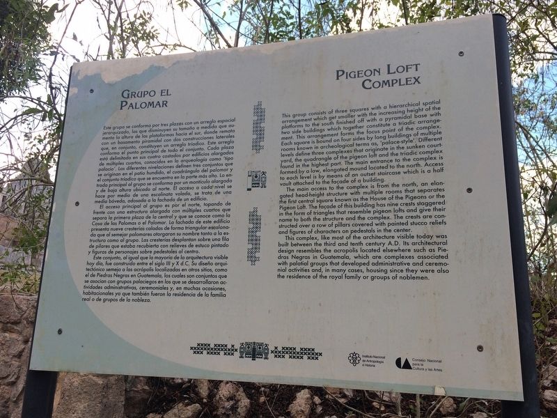
Grupo el Palomar
Este grupo se conforma por tres plazas con un arreglo espacial jerarquizado, las que disminuyen su tamaño a medida que aumenta la altura de las plataformas hacia el sur, donde remata con un basamento piramidal con dos construcciones laterales que, en conjunto, constituyen un arreglo tríadico. Este arreglo conforma el punto principal de todo el conjunto. Cada plaza está delimitada en sus cuatro costados por edificios alargados de múltiples cuartos, conocidos en la arqueología como ‘tipo palacio’. Las diferentes nivelaciones definen tres conjuntos que se originan en el patio hundido, el cuadrángulo del palomar y el conjunto tríadico que se encuentra en la parte más alta. La entrada principal al grupo se conforma por un montículo alargado y de baja altura ubicado al norte. El acceso a cada nivel se hace por medio de una escalinata volada, se trata de una media bóveda, adosada a la fachada de un edificio.
El acceso principal al grupo es por el norte, topando de frente con una estructura alargarda con múltiples cuartos que separa la primera plaza de la central y que se conoce comoe la Casa de las Palomas o el Palomar. La fachada de este edificio presenta nueve cresterías caladas de forma triangular escalonada que al semajar palomares ortorgaron su nombre tanto a la estructura como al grupo. Las cresterías desplantan sobre una fila de pilares que estaba recubierta con relieves de estuco pintado y figuras de personajes sobres pedestales al centro.
Este conjunto, al igual que la mayoría de la arquitectura visible hoy día, fue construido entre el siglo III y X d.C. Su diseño arquitetónico semeja a las acrópolis localizados en otros sitios, como el de Piedras Negras en Guatemala, los cuales son conjuntos que se asocian con grupos palaciegos en los que se desarrollaron actividades administrativos, ceremoniales y, en muchas ocasiones, habitacionales ya que también fueron la residencia de la familia real o grupos de la nobleza.
English:
Pigeon Loft Complex
This group consists of three squares with a hierarchical spatial arrangement which get smaller with the increasing height of the platforms to the south finished off with a pyramidal base with two side buildings which together constitute a triadic arrangement. This arrangement forms the focus point of the complex. Each square is bound on four sides by long buildings of multiple rooms known in archeological terms as, ‘palace-style’. Different levels define three complexes that originate in the sunken courtyard, the quadrangle of the pigeon loft and the triadic complex found in the highest part. The main entrance to the complex is formed by a low, elongated mound located to the north. Access to each level is by means of an outset staircase which is a half vault attached to the façade of a building.
The main Access to the complex is from the north, an elongated head-height structure with multiple rooms that separates the first central square known as the House of the Pigeons or the Pigeon Loft. The façade of this building has nine crests staggered in the form of triangles that resemble pigeon lofts and give their name to both the structure and the complex. The crests are constructed over a row of pillars covered with painted stucco reliefs and figures of characters on pedestals in the center.
This complex, like most of the architecture visible today was built between the third and tenth century A.D. Its architectural design resembles the acropolis located elsewhere such as Piedras Negras in Guatemala, which are complexes associated with palatial groups that developed administrative and ceremonial activities and, in many cases, housing since they were also the residence of the royal family or groups of noblemen.
Credits. This page was last revised on April 19, 2017. It was originally submitted on April 19, 2017, by J. Makali Bruton of Accra, Ghana. This page has been viewed 133 times since then and 5 times this year. Photos: 1, 2, 3, 4. submitted on April 19, 2017, by J. Makali Bruton of Accra, Ghana.


