Near Spotsylvania Courthouse in Spotsylvania County, Virginia — The American South (Mid-Atlantic)
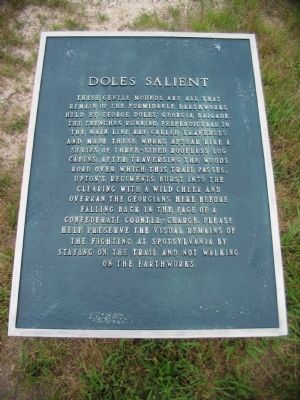
Doles Salient
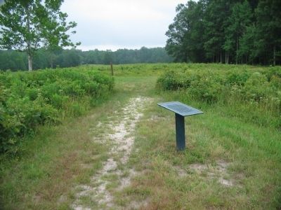
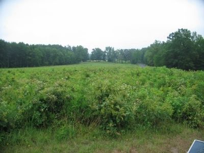
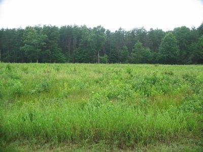
These gentile mounds are all that remain of the formidable earthworks held by George Doles' Georgia Brigade. The trenches running perpendicular to the main line are called traverses and made these works appear like a series of three-sided roofless log cabins. After traversing the woods road over which this trail passes, Upton's regiments burst into the clearing with a wild cheer and overran the Georgians here before falling back in the face of a Confederate counter-charge. Please help preserve the visual remains of the fighting at Spotsylvania by staying on the trail and not walking on the earthworks.
Topics. This historical marker is listed in this topic list: War, US Civil.
Location. 38° 13.28′ N, 77° 36.216′ W. Marker is near Spotsylvania Courthouse, Virginia, in Spotsylvania County. Marker is on Anderson Drive, on the right when traveling south. Located south of tour stop three (The Bloody Angle) on the driving tour of Spotsylvania Battlefield unit of the Fredericksburg and Spotsylvania National Military Park. Touch for map. Marker is in this post office area: Spotsylvania VA 22553, United States of America. Touch for directions.
Other nearby markers. At least 8 other markers are within walking distance of this marker. Confederate Counterattack (a few steps from this marker); Upton’s Assault (a few steps from this marker); Upton's Charge (about 300 feet away, measured in a direct line); Ramseur's Brigade (about 500 feet away); Spotsylvania Campaign (about 600 feet away); Forming for the Attack (about 600 feet away); a different marker also named Spotsylvania Campaign (approx. 0.2 miles away); The Muleshoe Salient (approx. 0.2 miles away). Touch for a list and map of all markers in Spotsylvania Courthouse.
Also see . . . Spotsylvania Court House - Upton's Attack, May 10, 1864. American Battlefields Trust website entry (Submitted on December 6, 2022, by Larry Gertner of New York, New York.)
Credits. This page was last revised on December 6, 2022. It was originally submitted on August 15, 2008, by Craig Swain of Leesburg, Virginia. This page has been viewed 1,120 times since then and 16 times this year. Photos: 1, 2, 3, 4. submitted on August 15, 2008, by Craig Swain of Leesburg, Virginia.


