East Lansing in Ingham County, Michigan — The American Midwest (Great Lakes)
Collegeville / East Lansing
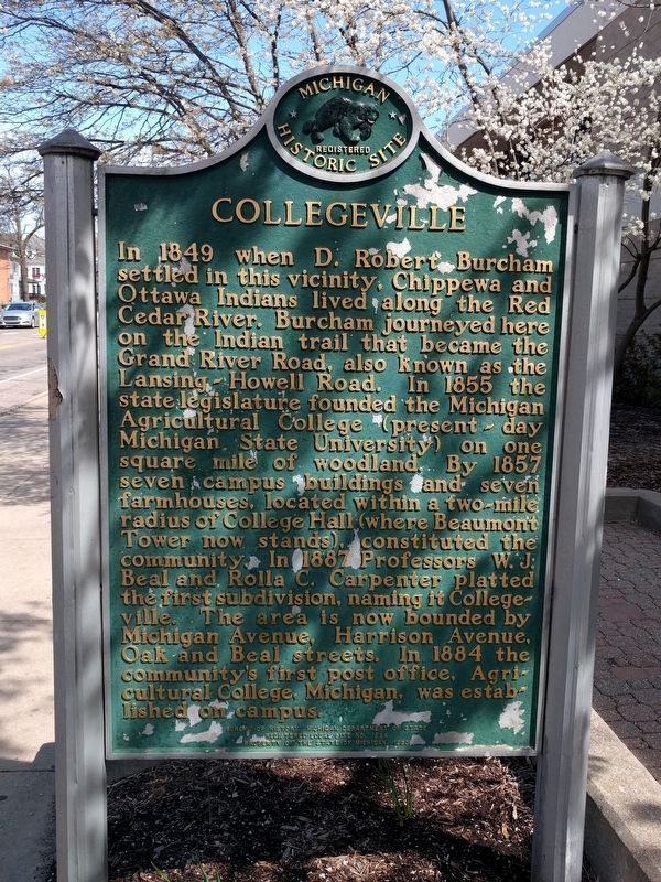
Collegeville
In 1849 when D. Robert Burcham settled in this vicinity, Chippewa and Ottawa Indians lived along the Red Cedar River. Burcham journeyed here on the Indian trail that became the Grand River Road, also known as the Lansing-Howell Road. In 1855 the state legislature founded the Michigan Agricultural College (present-day Michigan State University) on one square mile of woodland. By 1857 seven campus buildings and seven farmhouses, located within a two mile radius of College Hall (where Beaumont Tower now stands), constituted the community. In 1887 Professors W. J. Beal and Rolla C. Carpenter platted the first subdivision, naming it Collegeville. The area is now bounded by Michigan Avenue, Harrison Avenue, Oak and Beal streets. In 1884 the community's first post office, Agricultural College, Michigan, was established on campus.
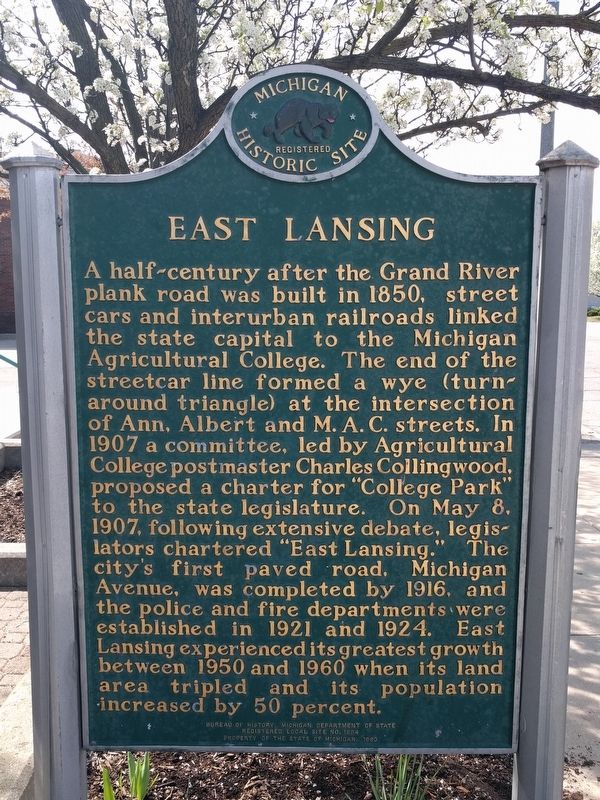
East Lansing
A half-century after the Grand River plank was built in 1850, street cars and interurban railroads linked the state capital to the Michigan Agricultural College. The end of the streetcar line formed a wye (turn-around triangle) at the intersection of Ann, Albert and M.A.C. streets. In 1907 a committee, led by Agricultural College postmaster Charles Collingwood, proposed a charter for "College Park" to the state legislature. On May 8, 1907, following extensive debate, legislators chartered "East Lansing." The city's first paved road, Michigan Avenue, was completed in 1916, and the police and fire departments were established in 1921 and 1924. East Lansing experienced its greatest growth between 1950 and 1960 when its land area tripled and its population increased by 50 percent.
Erected 1993 by Bureau of History, Michigan Department of State. (Marker Number L1894.)
Topics and series. This historical marker is listed in these topic lists: Education • Settlements & Settlers. In addition, it is included in the Michigan Historical Commission series list. A significant historical date for this entry is May 8, 1907.
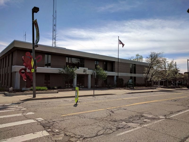
Location. 42° 44.216′ N, 84° 29.019′ W. Marker is in East Lansing, Michigan, in Ingham County. Marker is at the intersection of Abbot Road and Linden Street, on the right when traveling north on Abbot Road. Touch for map. Marker is at or near this postal address: 410 Abbot Road, East Lansing MI 48823, United States of America. Touch for directions.
Other nearby markers. At least 8 other markers are within walking distance of this marker. Masonic Temple (approx. 0.2 miles away); "That a Ladies Course be Organized" (approx. ¼ mile away); Alice B. Cowles House (approx. ¼ mile away); Alice Cowles House (approx. ¼ mile away); Walter Adams Field (approx. 0.3 miles away); Women's Building (approx. 0.3 miles away); The Nation's Pioneer Land-Grant University (approx. 0.3 miles away); East Lansing Veterans Memorial (approx. 0.3 miles away). Touch for a list and map of all markers in East Lansing.
Credits. This page was last revised on April 22, 2017. It was originally submitted on April 22, 2017, by Joel Seewald of Madison Heights, Michigan. This page has been viewed 319 times since then and 46 times this year. Photos: 1, 2, 3. submitted on April 22, 2017, by Joel Seewald of Madison Heights, Michigan.


