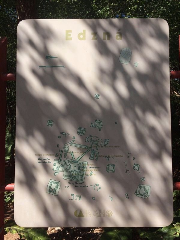
Edzná in Campeche, Mexico — The Southeast (Yucatan Peninsula)
The Maya
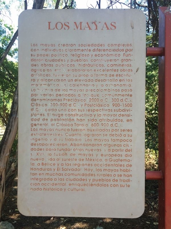
Los Mayas
Los mayas crearon sociedades complejas con individuos claramente diferenciados por su papel político, religioso y económico. Fundaron ciudades y pueblos, construyeron grandes obras públicas (hidráulicas, camineras, agrícolas, etc.), elaboraron excelentes obras artísticas, tuvieron su propia forma de escritura y alcanzaron un elevado desarrollo en las matemáticas, el calendario y la astronomía. La historia de los mayas precolombinos pasó por varios periodos a los que comúnmente denominamos Preclásico (2000 a.C.-300 d.C.), Clásico (300-900 d.C.) y Postclásico (900-1500 d.C.), cada uno con sus respectivas subdivisiones. El auge constructivo y la mayor densidad de población han sido atribuidos, en general, al Clásico Tardío (600-900 d.C.).
Los mayas nunca fueron auxiliados por seres extraterrestres. Cuanto lograron se debió a su ingenio y a su trabajo. Los mayas tampoco desaparecieron. Abandonaron algunas ciudades para fundar otras nuevas y a partir del s. XVI, la fusión de mayas y europeos dio nueva vida al sureste de México, a Guatemala, a Belice y a las regiones occidentales de Honduras y El Salvador. Hoy, los mayas habitan en muchas comunidades rurales o se han integrado a las ciudades y pueblos de tradición occidental, enriqueciéndolos con su legado histórico y cultural.
Maya-Yucateco:
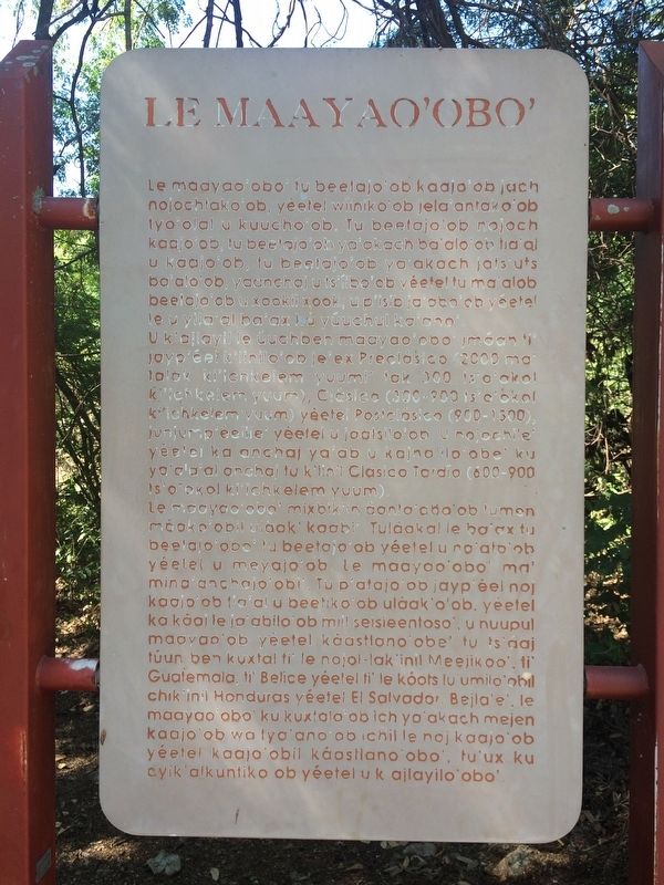
Le Maayao’obo’
Le maayao’obo’ tu beetajo’ob kaajo’ob jach nojochtako’ob, y’éetel wíiniko’ob jela’antako’ob tyo’olal u kuucho’ob. Tu beetajo’ob nojoch kaajo’ob, tu beetajo’ob ya’akach ba’alo’ob tia’al u kaajo’ob, tu beetajo’ob ya’akach jats’uts ba’alo’ob, yaanchaj u ts’íibo’ob yéetel tu ma’alob beetajo’ob u xookil xook, u p’isib ja’abo’ob yéetel le u yila’al ba’ax ku yúuchul ka’ano’.
U k’ajlayil le úuchben maayao’obo’ jmáan ti’ jayp’éel k’iinilo’ob je’ex Preclásico (2000 ma’ talak ki’ichkelem yuumi’ tak 300 ts’o’okol ki’ichkelem yuum), Clásico (300-900 ts’o’okol ki’ichkelem yuum) yéetel Postclásico (900-1500), junjump’éelile’ yéetel u jaatsilo’ob. U nojochile’ yéetel ka anchaj ya’ab u kajnajilo’obe’ ku ya’ala’al anchaj tu k’iinil Clásico Tardío (600-900 ts’o’okol ki’ichkelem yuum).
Le maayao’obo’ mixbik’in áanta’obo’ob tumen máako’obil uláak’ kaabi’. Tuláakal le ba’ax tu beetajo’obo’ tu beetajo’ob yéetel u na’alo’ob yéetel u meyajo’ob. Le maayao’obo’ ma’ mina’anchajo’obi’. Tu p’atojo’ob jayp’éel noj ka káaj le ja’abilo’ob mil seiseentoso’, u nuupul maayao’ob yéetel káastlano’obe’ tu ts’áaj túun ben kuxtal ti’ le nojol-lak’inil Meejikoo’, ti’ Guatemala, ti’ Belice yéetel ti’ le kóots lu’umilo’obil chik’inil Honduras yéetel El Salvador. Bejla’e’, le maayao’obo’ ku kuxtalo’ob ich ya’akach mejen kaajo’ob wa tyo’ano’ob ichil le noj kaajo’ob yéetel kaajo’obil káastlano’obo’, tu’ux ku ayik’alkuntiko ob yéetel u k ajlayilo’obo’.
English:
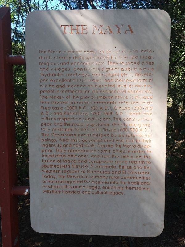
The Maya
The Maya created complex societies with individuals clearly deferenciated by their political, religious and economic role. They founded cities and villages, constructed great public works (hydraulic, roadways, agricultural, etc.), developed excellent artistic works, had their own form of writing and reached an elevated level of development in mathematics, calendrics and astronomy. The history of the precolumbian Maya is divided into several periods commonly referred to as Preclassic (2000 B.C.-300 A.D.), Classic (300-900 A.D.) and Postclassic (900-1500 A.D.), each one with its respective subdivisions. The construction peak and the major population density are generally attributed to the Late Classic (6000900 A.D.)
The Maya were never helped by extraterrestial beings. What they accomplished was due to their ingenuity and hard work. Nor did the Maya disappear. They abandoned some cities in order to found other new ones, and from the 16th c. on, the fusion of Maya and Europeans gave rebirth to southeastern Mexico, Guatemala, Belize and the western regions of Honduras and El Salvador. Today, the Maya live in many rural communities or have integrated themselves into the traditional western cities and villages, enriching themselves with their historical and cultural legacy.
Topics.
This historical marker is listed in these topic lists: Anthropology & Archaeology • Native Americans.
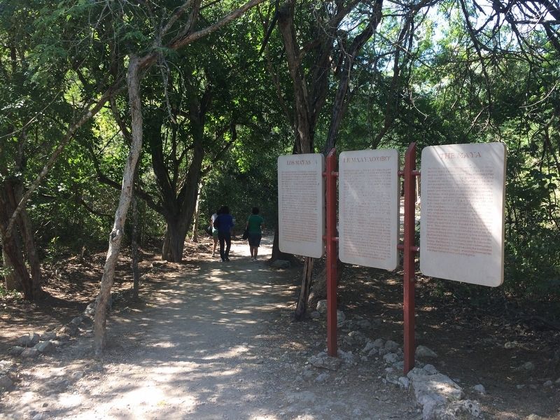
Location. 19° 35.985′ N, 90° 13.745′ W. Marker is in Edzná, Campeche. Marker can be reached from Route 188. The marker is near the entrance to the Edzná Archaeological Site, some 50 kilometers southeast of Campeche. Touch for map. Marker is in this post office area: Edzná CAMP 24570, Mexico. Touch for directions.
Other nearby markers. At least 8 other markers are within walking distance of this marker. The Platform of the Knives (about 240 meters away, measured in a direct line); The Ambassadors' Platform (approx. 0.3 kilometers away); The Great Acropolis (approx. 0.3 kilometers away); Nohochná (approx. 0.3 kilometers away); The Building of the Five Floors (approx. 0.3 kilometers away); The Ball Game at Edzná (approx. 0.4 kilometers away); The Small Acropolis (approx. 0.4 kilometers away); The Temple of the Giant Masks (approx. half a kilometer away). Touch for a list and map of all markers in Edzná.
Credits. This page was last revised on May 1, 2017. It was originally submitted on April 30, 2017, by J. Makali Bruton of Accra, Ghana. This page has been viewed 209 times since then and 8 times this year. Photos: 1, 2, 3, 4. submitted on April 30, 2017, by J. Makali Bruton of Accra, Ghana. 5. submitted on May 1, 2017, by J. Makali Bruton of Accra, Ghana.
