Near Spotsylvania Courthouse in Spotsylvania County, Virginia — The American South (Mid-Atlantic)
Vista Clearing at Spotsylvania
Inscription.
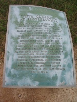
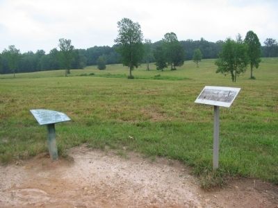
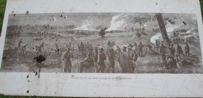
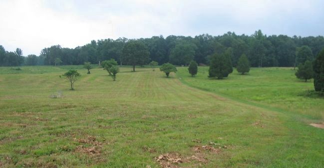
Over a century has elapsed since the destiny of the nation was debated by arms at Spotsylvania. Many physical changes have altered the appearance of the battlefield during these years including the reclamation of old fields and pastures by an ever-encroaching forest. In 1978 the National Park Service began a vista clearing program aimed at restoring the historic scene at crucial points on the battlefield. Using documented evidence and careful methods to ensure preservation of existing historical features, this project allows park visitors to better understand the fighting and to view the terrain as the participants did in 1864.
Topics. This historical marker is listed in this topic list: War, US Civil. A significant historical year for this entry is 1978.
Location. 38° 13.592′ N, 77° 35.903′ W. Marker is near Spotsylvania Courthouse, Virginia, in Spotsylvania County. Marker can be reached from Grant Drive, on the left when traveling east. Located on the Bloody Angle trail at tour stop three (Bloody Angle) on the driving tour of Spotsylvania Battlefield unit of the Fredericksburg and Spotsylvania National Military Park. Touch for map. Marker is in this post office area: Spotsylvania VA 22553, United States of America. Touch for directions.
Other nearby markers. At least 8 other markers are within walking distance of this marker. Dawn Assault (approx. 0.2 miles away); Fatal Mistake at the East Angle (approx. 0.2 miles away); Farm to Killing Field (approx. 0.2 miles away); The Landram House (approx. 0.2 miles away); "The Toughest Fight Yet" (approx. 0.2 miles away); 126th Ohio Volunteer Infantry (approx. 0.2 miles away); The Confederate Earthworks (approx. 0.2 miles away); Struggle for the Bloody Angle (approx. 0.2 miles away). Touch for a list and map of all markers in Spotsylvania Courthouse.
Also see . . . Bloody Angle. National Park Service website entry (Submitted on August 15, 2008, by Craig Swain of Leesburg, Virginia.)
Credits. This page was last revised on December 5, 2022. It was originally submitted on August 15, 2008, by Craig Swain of Leesburg, Virginia. This page has been viewed 960 times since then and 8 times this year. Photos: 1, 2, 3, 4. submitted on August 15, 2008, by Craig Swain of Leesburg, Virginia.


