Griswoldville in Twiggs County, Georgia — The American South (South Atlantic)
Battle of Griswoldville
Inscription.
Colonel Charles Colcock Jones, General Hardee's Chief of Artillery. summarized the Battle of Griswoldville:
"This engagement, while it reflects great credit upon the gallantry of the Confederate and State forces engaged, was unnecessary, unexpected and utterly unproductive of any good. The Battle of Griswoldville will be remembered as an unfortunate accident whose occurrence might have been avoided by the exercise of proper caution and circumspection."
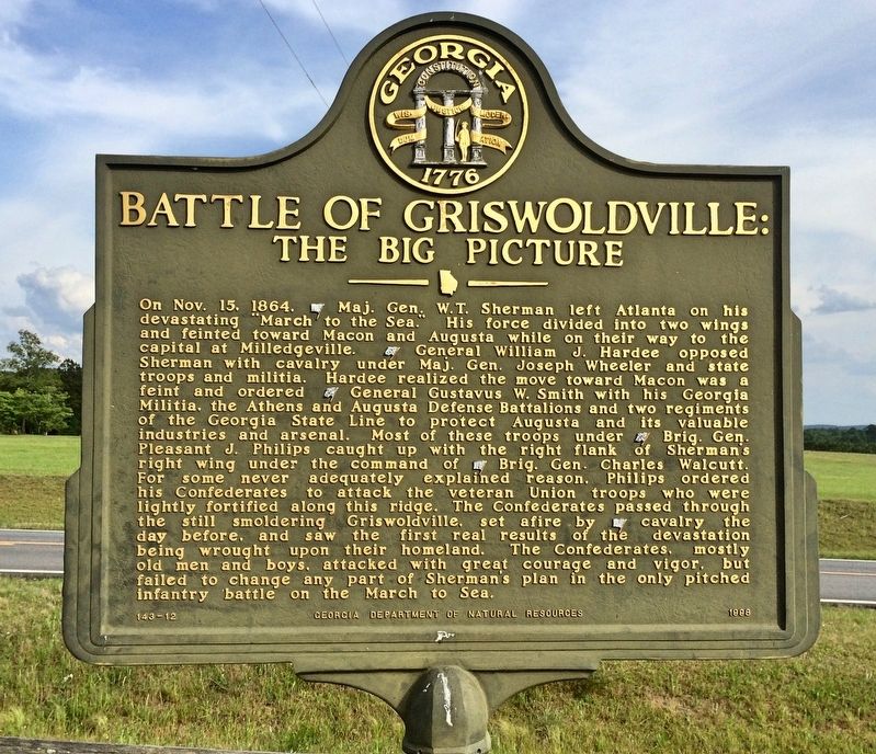
On Nov. 22, 1864, a Confederate force was marching from Macon toward Augusta, under the temporary command of Brigadier General Pleasant J. Phillips. They had recently been pressed into service and were poorly trained and equipped. They had been ordered to reinforce Augusta, presumed to be Sherman's next objective.
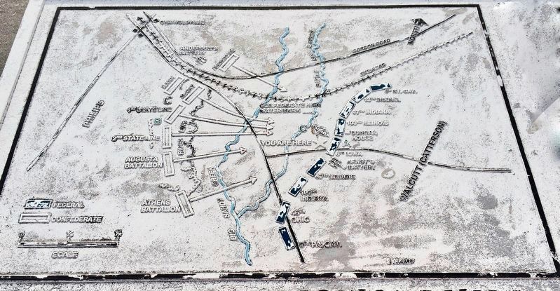
A. They met Sherman's right flank guard, Brigadier General Charles C. Walcutt's brigade. The Federals were among the best of Sherman's seasoned veterans, and many were armed with Spencer repeating rifles. The Federal line (A) ran along this ridge and near the existing house on your right.
B. Phillips formed his men in line of battle on the wooded ridge a mile to your left (B) and for some never adequately explained reason, ordered an all out assault across the creek and open field. The Confederates made repeated courageous but unsuccessful assaults and sustained heavy losses.
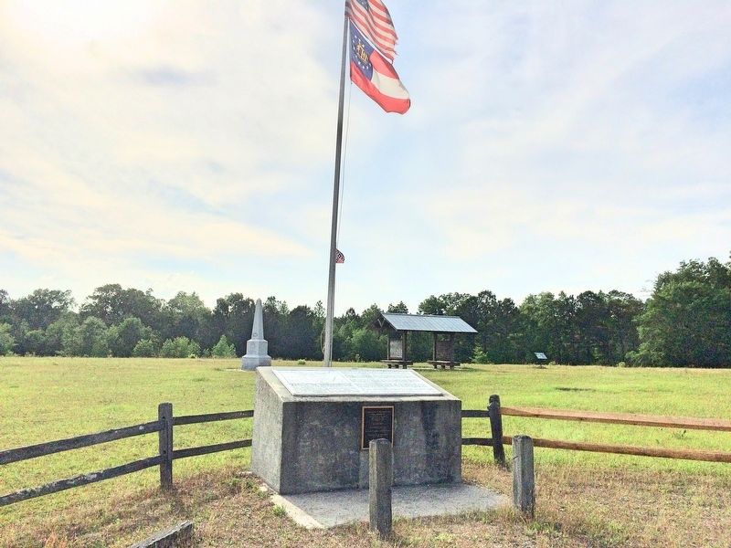
C. The Confederate battle flag in the field to your front marks the approximate center and high water mark of the Confederate attack, Following the final attack, the Federals found a sickening and pathetic scene in front of their works. They saw their recent foes for the first time at close range. Lieutenant Charles W. Willis of the 103rd Illinois Regiment described what he saw:
"Old grey haired and weakly looking men and young boys not over 15 years old, lay dead or writhing in pain. I hope we will never have to shoot at such men again."
That night Phillips withdrew his depleted forces back into the fortifications of Macon.
Topics. This historical marker is listed in these topic lists: Notable Places • War, US Civil. A significant historical date for this entry is October 22, 1864.
Location. 32° 52.166′ N, 83° 27.613′ W. Marker is in Griswoldville, Georgia, in Twiggs County. Marker is on Baker Road, 0.4 miles east of Old Griswoldville Road, on the left when traveling east. Touch for map. Marker is at or near this postal address: Baker Road, Macon GA 31217, United States of America. Touch for directions.
Other nearby markers. At least 10 other markers are within 3 miles of this marker, measured as the crow flies. Battle of Griswoldville: (within shouting distance of this marker); Target Griswoldville (within shouting distance of this marker); The Cavalry Skirmish (approx.
0.6 miles away); Battle of Griswoldville The Deployment and Assaults (approx. ¾ mile away); a different marker also named Battle of Griswoldville (approx. 1.7 miles away); Battle of Griswoldville The Advance from East Macon (approx. 1.7 miles away); Confederate Pistol Factory (approx. 1.7 miles away); Griswoldville (approx. 1.7 miles away); a different marker also named Griswoldville (approx. 1.7 miles away); a different marker also named Battle of Griswoldville (approx. 2.8 miles away). Touch for a list and map of all markers in Griswoldville.
Also see . . . Griswoldville Battlefield State Historic Site. (Submitted on May 1, 2017, by Mark Hilton of Montgomery, Alabama.)
Credits. This page was last revised on May 1, 2017. It was originally submitted on May 1, 2017, by Mark Hilton of Montgomery, Alabama. This page has been viewed 560 times since then and 21 times this year. Photos: 1, 2, 3, 4. submitted on May 1, 2017, by Mark Hilton of Montgomery, Alabama.


